Key West in Monroe County, Florida — The American South (South Atlantic)
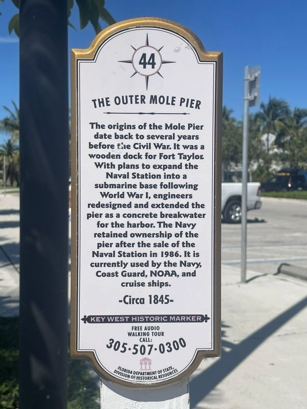
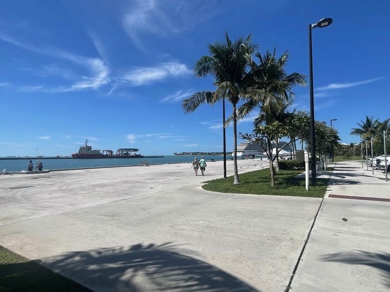
The Outer Mole Pier
-Circa 1845-
Key West Historic Marker
Free Audio Walking Tour Call: 305-507-0300
Erected by Florida Department of State, Division of Historical Resources. (Marker Number 44.)
Topics. This historical marker is listed in this topic list: Waterways & Vessels. A significant historical year for this entry is 1845.
Location. 24° 33.176′ N, 81° 48.445′ W. Marker is in Key West, Florida, in Monroe County. Marker can be reached from Noah Lane near Weech Way. Touch for map. Marker is at or near this postal address: 508 Noah Ln, Key West FL 33040, United States of America. Touch for directions.
Other nearby markers. At least 8 other markers are within walking distance of this marker. Submarine Base (a few steps from this marker); USCGC Ingham (about 300 feet away, measured in a direct line); The Freedom Tree (about 400 feet away); Marine Hospital (about 500 feet away); United States Weather Bureau (about 700 feet away); Breadfruit Tree (about 800 feet away); a different marker also named United States Weather Bureau (about 800 feet away); Coffee Butler (approx. 0.2 miles away). Touch for a list and map of all markers in Key West.
Credits. This page was last revised on April 8, 2024. It was originally submitted on March 30, 2024, by Darren Jefferson Clay of Duluth, Georgia. This page has been viewed 34 times since then. Photos: 1, 2. submitted on April 4, 2024, by Darren Jefferson Clay of Duluth, Georgia. • Bernard Fisher was the editor who published this page.

