Key West in Monroe County, Florida — The American South (South Atlantic)
Battery Seminole
-Circa 1904-

Photographed by Darren Jefferson Clay, March 24, 2024
1. Battery Seminole Marker
Key West Historic Marker
Free Audio Walking Tour Call: 305-507-0300
Erected by Florida Department of State, Division of Historical Resources. (Marker Number 98.)
Topics. This historical marker is listed in this topic list: Military. A significant historical year for this entry is 1904.
Location. 24° 32.962′ N, 81° 48.249′ W. Marker is in Key West, Florida, in Monroe County. It is at the intersection of Fort Street and Olivia Street, on the left when traveling north on Fort Street. Touch for map. Marker is at or near this postal address: 900 Fort St, Key West FL 33040, United States of America. Touch for directions.

Regionally,
this page online
Other nearby markers. At least 8 other markers are within walking distance of this marker: Frederic Douglass High School (about 300 feet away, measured in a direct line); Walter R. Mickens VFW Post 6021/William Weech American Legion Post 168 (about 500 feet away); Bethel AME Church (approx. 0.2 miles away); Breadfruit Tree (approx. 0.2 miles away); Second Key West Lighthouse (approx. 0.2 miles away); Women Lighthouse Keepers (approx. 0.2 miles away); Lighthouse Keeper’s Duties (approx. ¼ mile away); Key West Lighthouse (approx. ¼ mile away). Touch for a list and map of all markers in Key West.
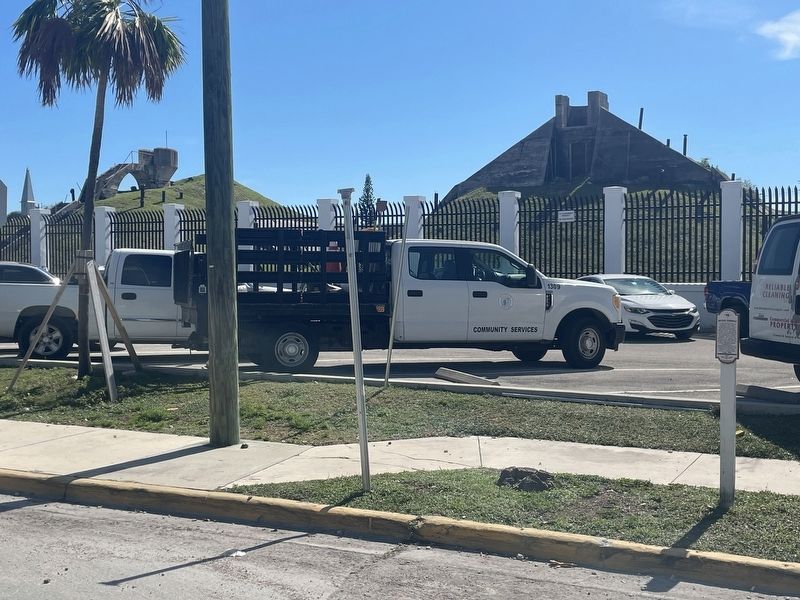
Photographed by Darren Jefferson Clay, March 24, 2024
2. Battery Seminole Marker
Credits. This page was last revised on April 8, 2024. It was originally submitted on March 30, 2024, by Darren Jefferson Clay of Duluth, Georgia. This page has been viewed 871 times since then and 184 times this year. Photos: 1, 2. submitted on April 4, 2024, by Darren Jefferson Clay of Duluth, Georgia. • Bernard Fisher was the editor who published this page.
