
Hiroshima, Hiroshima Prefecture, Japan — 日本国 (East Asia)
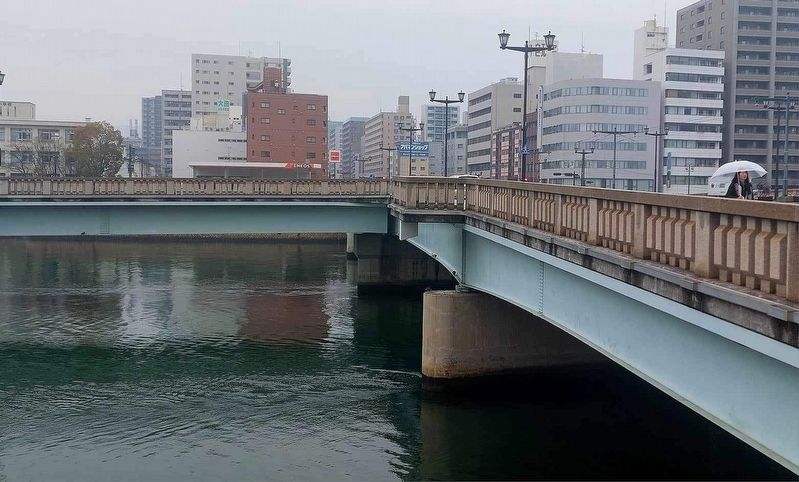
Aioi Bridge
Photographed by Dave Buchanan, March 2024
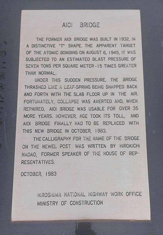
1. Aioi Bridge Marker
The former Aioi Bridge was built in 1932, in a distinctive "T" shape. The apparent target of the atomic bombing on August 6, 1945, it was subjected to an estimated blast pressure of seven tons per square meter - 15 times greater than normal.
Under this sudden pressure, the bridge thrashed like a leaf-spring being snapped back and forth with the slab floor up in the air. Fortunately, collapse was averted and, when repaired, Aioi Bridge was usable for over 35 more years. However, age took its toll, and Aioi Bridge finally had to be replaced with this new bridge in October, 1983.
The calligraphy for the name of the bridge on the newel post was written by Hirokichi Nadao, former speaker of the House of Representatives.
October, 1983
Hiroshima National Highway Work Office
Ministry of Construction
Erected 1983 by Hiroshima National Highway Work Office, Ministry of Construction.
Topics. This memorial is listed in these topic lists: Bridges & Viaducts • War, World II. A significant historical date for this entry is August 6, 1945.
Location. 34° 23.764′ N, 132° 27.193′ E. Memorial is in Hiroshima, Hiroshima Prefecture.
this page online

Regionally, it is in Asia, specifically in East Asia, in the Pacific Ocean, in North Pacific, on the Ring of Fire, in the Pacific Rim, and in the Western World.
Other nearby markers. At least 3 other markers are within walking distance of this marker: The Hiroshima Prefectural Industrial Promotion Hall (about 120 meters away, measured in a direct line in Hiroshima); Hiroshima Peace Memorial (Genbaku Dome), World Heritage Site (about 120 meters away in Hiroshima); Hypocenter (about 180 meters away).
Also see . . . Aioi Bridge at Wikipedia. (Submitted on March 30, 2024.)
Photographed by Dave Buchanan, March 2024
2. Aioi Bridge
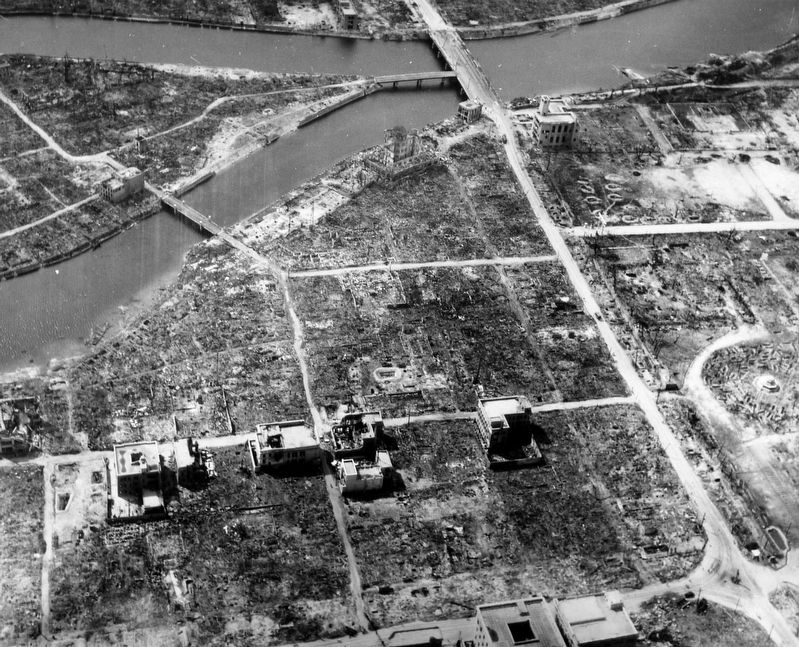
1945
3. Hiroshima, Japan in ruins, 1945; note Aioi Dori Bridge at top of photograph
This photo is from the US National Archives.
Credits. This page was last revised on March 30, 2024. It was originally submitted on March 30, 2024, by J. Makali Bruton of Washington, District of Columbia. This page has been viewed 657 times since then and 57 times this year. Photos: 1, 2, 3. submitted on March 30, 2024, by J. Makali Bruton of Washington, District of Columbia.
