Nauvoo in Hancock County, Illinois — The American Midwest (Great Lakes)
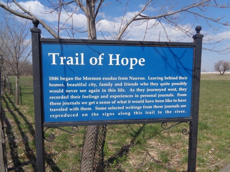
Trail of Hope
Photographed by Jason Voigt, March 28, 2024
1. Trail of Hope Marker
Topics. This historical marker is listed in this topic list: Religion & Religious Structures. A significant historical year for this entry is 1846.
Location. 40° 32.596′ N, 91° 23.7′ W. Marker is in Nauvoo, Illinois, in Hancock County. It is on Parley Street west of Granger Street, on the right when traveling west. Touch for map. Marker is at or near this postal address: 505 Parley St, Nauvoo IL 62354, United States of America. Touch for directions.

Regionally, this marker is in Central Illinois. It is also in the American Midwest, in the Corn Belt, and in the Great River Road Region. Globally, it is in North America, the Western Hemisphere, the Western World, and the
this page online
Other nearby markers. At least 8 other markers are within walking distance of this marker: Blacksmith & Wainwright (about 400 feet away, measured in a direct line); The Mississippi Flyway (approx. 0.2 miles away); The History of Mississippi River Pool 19, aka Lake Cooper (approx. 0.2 miles away); Joseph Smith's Red Brick Store (approx. 0.2 miles away); Aquatic Life of Mississippi River Pool 19 (approx. 0.2 miles away); Smith Family Cemetery (approx. ¼ mile away); Joseph and Emma Smith's Mansion House (approx. ¼ mile away); Nauvoo Survey Stone (approx. ¼ mile away). Touch for a list and map of all markers in Nauvoo.
Other markers no longer nearby. Red Brick Store (was approx. 0.2 miles away but has been replaced with another marker now near it); Mansion House (was approx. ¼ mile away but has been replaced with another marker now near it).
Photographed by Jason Voigt, March 28, 2024
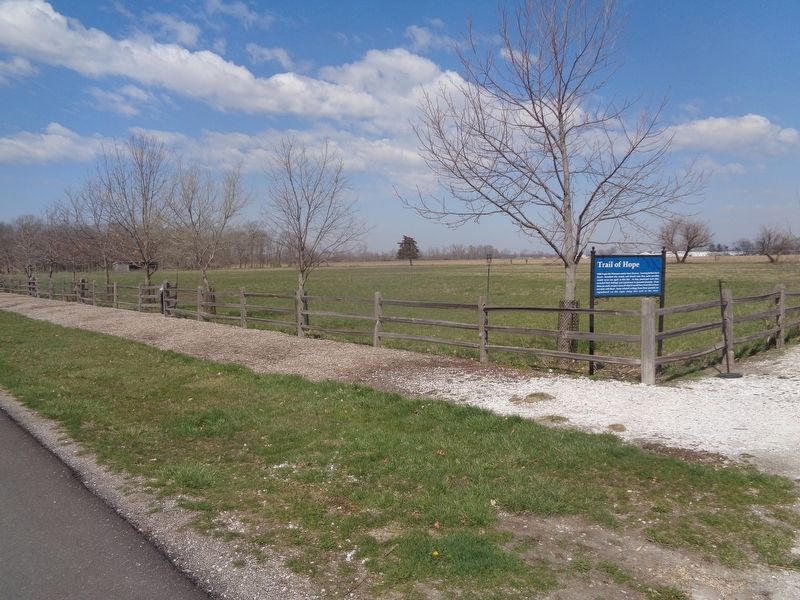
2. Trail of Hope Marker
Photographed by Jason Voigt, March 28, 2024
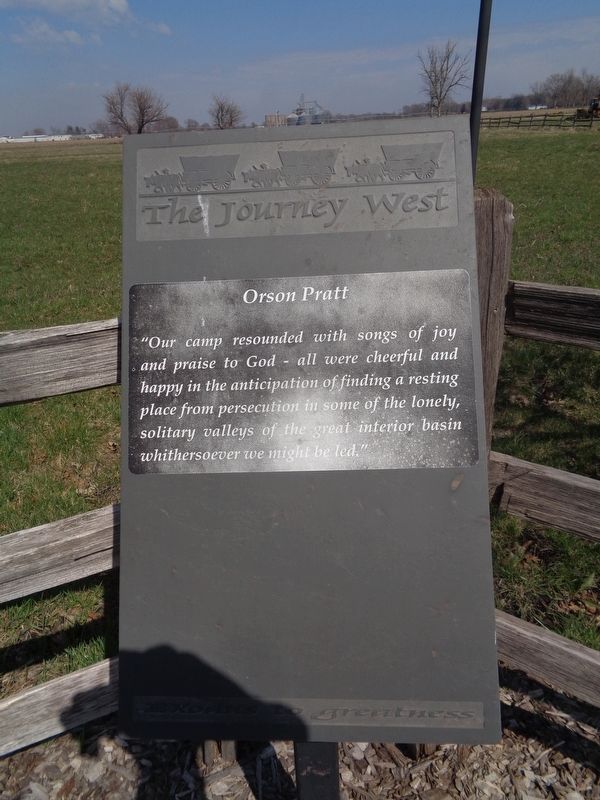
3. Trail of Hope Marker
One of the individual markers that consists of just quotes from those on the Mormon Trail
Credits. This page was last revised on March 30, 2024. It was originally submitted on March 30, 2024, by Jason Voigt of Glen Carbon, Illinois. This page has been viewed 559 times since then and 78 times this year. Photos: 1, 2, 3. submitted on March 30, 2024, by Jason Voigt of Glen Carbon, Illinois.
