Donaldsonville in Ascension Parish, Louisiana — The American South (West South Central)
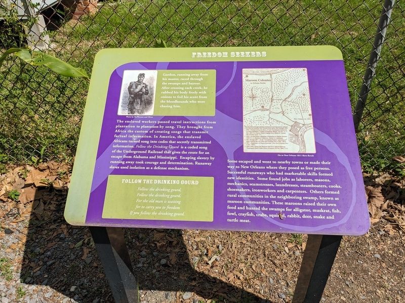
Freedom Seekers
The enslaved workers passed travel instructions from plantation to plantation by song. They brought from Africa the custom of creating songs that transmit factual information. In America, the enslaved Africans turned song into codes that secretly transmitted information. Follow the Drinking Gound is a coded song of the Underground Railroad that gives the route for an escape from Alabama and Mississippi. Escaping slavery by running away took courage and determination. Runaway slaves used isolation as a defense mechanism.
Some escaped and went to nearby towns or made their way to New Orleans where they posed as free persons. Successful runaways who had marketable skills formed new identities. Some found jobs as laborers, masons, mechanics, seamstresses, laundresses, steamboaters, cooks, shoemakers, ironworkers and carpenters. Others formed rural communities in the neighboring swamp, known as maroon communities. These maroons raised their own food and hunted the swamps for alligator, muskrat, fish, fowl, crayfish, crabs, squirrel, rabbit, deer, snake and turtle meat.
Follow The Drinking Gourd
Follow the drinking gound
Follow the drinking gourd
For the old man is writing
for to carry you to freedom
If you follow the drinking gourd.
Erected by River Road African American Museum.
Topics. This historical marker is listed in these topic lists: Abolition & Underground RR • African Americans.
Location. 30° 6.032′ N, 90° 59.326′ W. Marker is in Donaldsonville, Louisiana, in Ascension Parish. Marker is on Williams Street east of Lessard Street, on the right when traveling east. Touch for map. Marker is at or near this postal address: 511 Williams St, Donaldsonville LA 70346, United States of America. Touch for directions.
Other nearby markers. At least 8 other markers are within walking distance of this marker. Down The River (here, next to this marker); The Culture (here, next to this marker); The Swamp (a few steps from this marker); Louisiana's Underground Railroad (a few steps from this marker); Central Agricultural School (within shouting distance of this marker); African American Life (about 300 feet away, measured in a direct line); City Recreation Center (about 300 feet away); Bicentennial Jazz Plaza (about 600 feet away). Touch for a list and map of all markers in Donaldsonville.
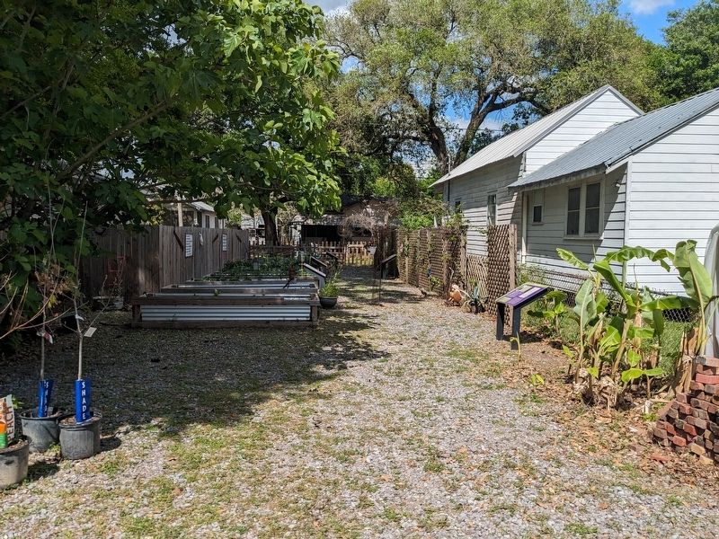
More about this marker. Located in the Freedom Garden, a community garden sponsored by the River Road African American Museum. Address given is for the museum, the Charles Street access has a locked gate.
Credits. This page was last revised on March 31, 2024. It was originally submitted on March 31, 2024, by Cajun Scrambler of Assumption, Louisiana. This page has been viewed 39 times since then. Photos: 1, 2. submitted on March 31, 2024, by Cajun Scrambler of Assumption, Louisiana.

