Nauvoo in Hancock County, Illinois — The American Midwest (Great Lakes)
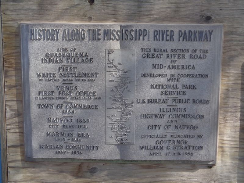
History Along The Mississippi River Parkway
—
First White Settlement
By Captain James White 1824
—
Venus
First Post Office
In Hancock County established 1830
—
Town of Commerce
1834
—
Nauvoo 1839
City Beautiful
—
Mormon Era
1839-1846
—
Icarian Community
1849-1856
Officially dedicated by Governor William G. Stratton
April 17, 1955
Erected 1955 by Nauvoo Chamber of Commerce and Nauvoo Historical Society.
Topics. This historical marker is listed in these topic lists: Churches & Religion • Native Americans • Settlements & Settlers. A significant historical year for this entry is 1824.
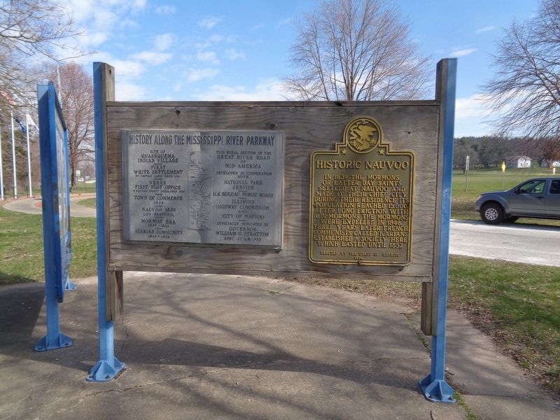
Location. 40° 32.364′ N, 91° 23.195′ W. Marker is in Nauvoo, Illinois, in Hancock County. Marker is on Stone Arch Bridge Scenic Turnout west of Illinois Route 96, on the left when traveling north. Marker is on a roadside pullout, behind the Nauvoo, Illinois marker. Touch for map. Marker is at or near this postal address: 925 Stone Arch Bridge Scenic Turnout, Nauvoo IL 62354, United States of America. Touch for directions.
Other nearby markers. At least 8 other markers are within walking distance of this marker. Historic Nauvoo (here, next to this marker); Nauvoo, Illinois (here, next to this marker); Nauvoo House (approx. ¼ mile away); Bidamon Stable (approx. ¼ mile away); Joseph and Emma Smith's Mansion House (approx. 0.3 miles away); Smith Family Homestead (approx. 0.3 miles away); Nauvoo Survey Stone (approx. 0.3 miles away); The Icarian Community in Nauvoo (approx. 0.3 miles away). Touch for a list and map of all markers in Nauvoo.
Credits. This page was last revised on March 31, 2024. It was originally submitted on March 31, 2024, by Jason Voigt of Glen Carbon, Illinois. This page has been viewed 41 times since then. Photos: 1, 2. submitted on March 31, 2024, by Jason Voigt of Glen Carbon, Illinois.

