Columbia in Lancaster County, Pennsylvania — The American Northeast (Mid-Atlantic)
Covered Bridge Apartments
— 301 Union Street —
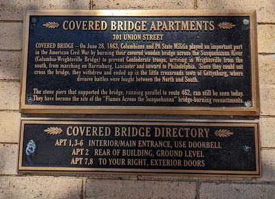
The stone piers that supported the bridge, running parallel to route 462, can still be seen today. They have become the site of the "Flames Across the Susquehanna" bridge-burning reenactments.
Topics. This historical marker is listed in these topic lists: Bridges & Viaducts • War, US Civil. A significant historical date for this entry is June 28, 1863.
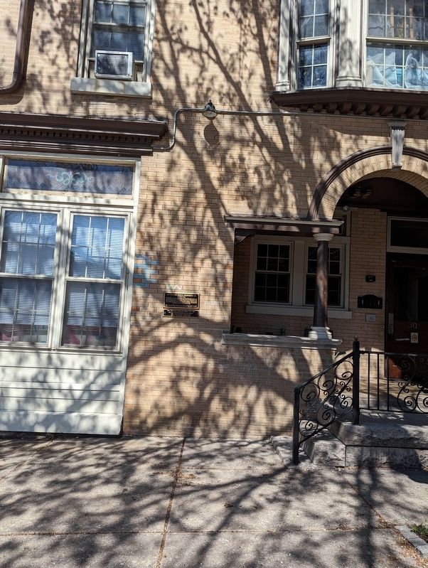
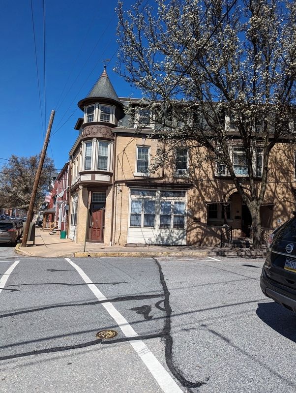
Location. 40° 1.808′ N, 76° 30.024′ W. Marker is in Columbia, Pennsylvania, in Lancaster County. Marker is at the intersection of Union Street and South 3rd Street, on the left when traveling west on Union Street. Touch for map. Marker is at or near this postal address: 301 Union St, Columbia PA 17512, United States of America. Touch for directions.
Other nearby markers. At least 8 other markers are within walking distance of this marker. Schroeder & Hinkle Pharmacy (about 700 feet away, measured in a direct line); Columbia Market House (about 800 feet away); Wright's Ferry Mansion (approx. 0.2 miles away); Columbia Fire Company (approx. 0.2 miles away); Zeamer's Pharmacy (approx. 0.2 miles away); Central National Bank of Columbia (approx. 0.2 miles away); Odd Fellows Hall (approx. 0.2 miles away); First National Bank (approx. 0.2 miles away). Touch for a list and map of all markers in Columbia.
Credits. This page was last revised on April 1, 2024. It was originally submitted on March 31, 2024, by William Pope of Marietta, Pennsylvania. This page has been viewed 62 times since then. Photos: 1, 2, 3. submitted on March 31, 2024, by William Pope of Marietta, Pennsylvania. • Bernard Fisher was the editor who published this page.


