Nauvoo in Hancock County, Illinois — The American Midwest (Great Lakes)
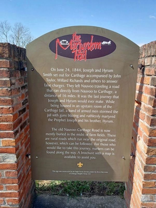
The Martyrdom Trail
The old Nauvoo-Carthage Raod is now mostly buried in the midst of farm fields. There are rural roads which run near the original road, however, which can be followed. For those who would like to take this journey, markers can be found along the way. A brochure with a map is available to assist you.
Erected by Eagle Scout Service project done by Brent Barrowes (Chicago Heights Troop 162).
Topics. This historical marker is listed in these topic lists: Churches & Religion • Roads & Vehicles. A significant historical date for this entry is June 24, 1844.
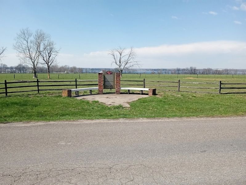
Location. 40° 33.222′ N, 91° 23.497′ W. Marker is in Nauvoo, Illinois, in Hancock County. Marker is on Main Street south of Hubbard Street. Touch for map. Marker is at or near this postal address: 425 Main St, Nauvoo IL 62354, United States of America. Touch for directions.
Other nearby markers. At least 8 other markers are within walking distance of this marker. "O My Father" (approx. ¼ mile away); William & Caroline Weeks Home (approx. ¼ mile away); William and Elizabeth Jones Property (approx. ¼ mile away); Nauvoo's Wards (approx. ¼ mile away); William & Esther Gheen Home (approx. 0.3 miles away); Edward & Anne Hunter Home (approx. 0.3 miles away); West Grove (approx. 0.3 miles away); The Prophet's Last Ride (approx. 0.4 miles away). Touch for a list and map of all markers in Nauvoo.
Credits. This page was last revised on March 31, 2024. It was originally submitted on March 31, 2024, by Jason Voigt of Glen Carbon, Illinois. This page has been viewed 64 times since then. Photos: 1, 2. submitted on March 31, 2024, by Jason Voigt of Glen Carbon, Illinois.

