Parkland in Broward County, Florida — The American South (South Atlantic)
Covered Bridge
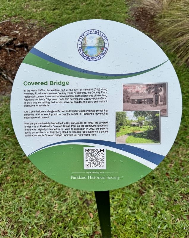
City of Parkland
City Commissioners Maryjane Sexton and Bobbi Pugliese wanted something attractive and in keeping with a country setting in Parkland's developing suburban environment.
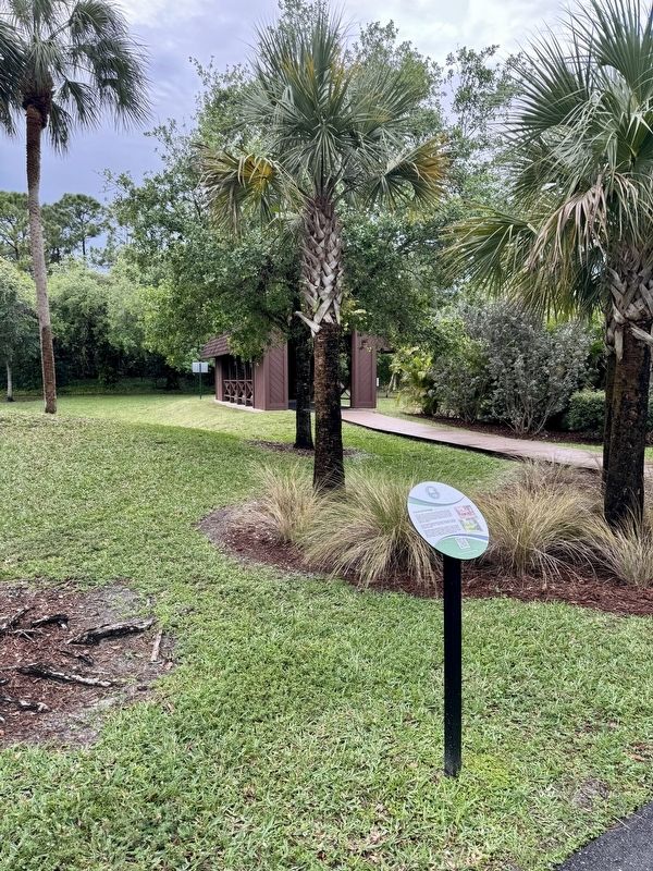
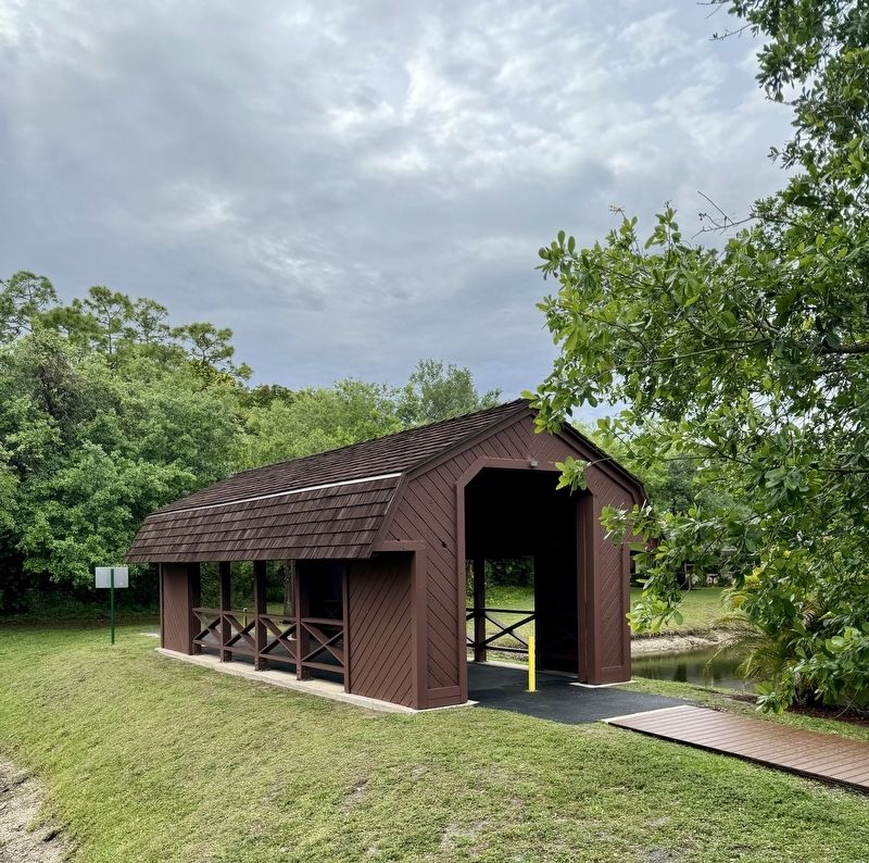
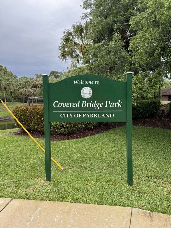
With the park ultimately deeded to the City on October 18, 1989, the covered bridge sits at Parkland's Covered Bridge Park as the identifying landmark that it was originally intended to be. With its expansion in 2022, the park is easily accessible from Holmberg Road or Hillsboro Boulevard via a paved trail that connects Covered Bridge Park with Six Acre Wood Park.
Erected 2003 by City of Parkland and the Parkland Historical Society.
Topics. This historical marker is listed in these topic lists: Bridges & Viaducts • Parks & Recreational Areas. A significant historical date for this entry is October 18, 1989.
Location. 26° 18.707′ N, 80° 12.388′ W. Marker is in Parkland, Florida, in Broward County. Marker can be reached from the intersection of Holmberg Road and NW 61st Avenue, on the right when traveling west. The marker is located in Covered Bridge Park. Touch for map. Marker is at or near this postal address: 6301 Holmberg Road, Pompano Beach FL 33067, United States of America. Touch for directions.
Other nearby markers. At least 8 other markers are within 4 miles of this marker, measured as the crow flies. Building of Holmberg Road (within shouting distance of this marker); Camp Telogia, Parkland’s “Hidden Gem” (approx. 0.4 miles away); “Fire Works” in the 1970s (approx. one mile away); Statue of Liberty (approx. 2.6 miles away); Liberty Park: The Park the People Built (approx. 2.6 miles away); The Parkland Library (approx. 2.8 miles away); Holmberg Road and its Namesake (approx. 2.9 miles away); Coral Springs Covered Bridge (approx. 3.4 miles away). Touch for a list and map of all markers in Parkland.
Also see . . .
1. City of Parkland Covered Bridge. (Submitted on April 1, 2024, by Brandon D Cross of Flagler Beach, Florida.)
2. Parkland Historical Society Makes Progress, Seeks Additional Helpers. (Submitted on April 1, 2024, by Brandon D Cross of Flagler Beach, Florida.)
Credits. This page was last revised on April 2, 2024. It was originally submitted on April 1, 2024, by Brandon D Cross of Flagler Beach, Florida. This page has been viewed 39 times since then. Photos: 1, 2, 3, 4. submitted on April 1, 2024, by Brandon D Cross of Flagler Beach, Florida. • Bernard Fisher was the editor who published this page.


