Parkland in Broward County, Florida — The American South (South Atlantic)
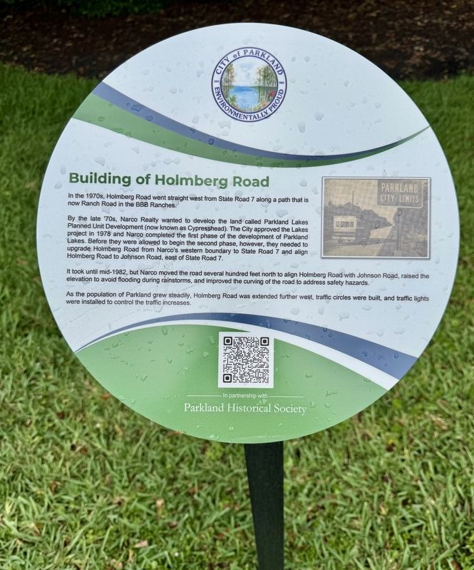
Building of Holmberg Road
City of Parkland
By the late '70s, Narco Realty wanted to develop the land called Parkland Lakes Planned Unit Development (now known as Cypresshead). The City approved the Lakes project in 1978 and Narco completed the first phase of the development of Parkland Lakes. Before they were allowed to begin the second phase, however, they needed to upgrade Holmberg Road from Narco's western boundary to State Road 7 and align Holmberg Road to Johnson Road, east of State Road 7.
It took until mid-1982, but Narco moved the road several hundred feet north to align Holmberg Road with Johnson Road, raised the elevation to avoid flooding during rainstorms, and improved the curving of the road to address safety hazards.
As the population of Parkland grew steadily, Holmberg Road was extended further west, traffic circles were built, and traffic lights were installed to control the traffic increases.
Erected by City of Parkland and the Parkland Historical Society.
Topics. This historical marker is listed in this topic list: Roads & Vehicles. A significant historical year for this entry is 1978.
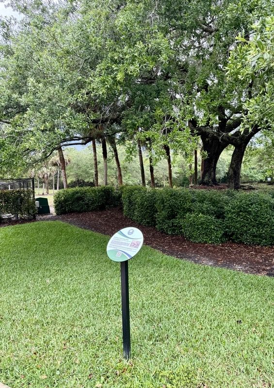
Location. 26° 18.68′ N, 80° 12.389′ W. Marker is in Parkland, Florida, in Broward County. Marker is on Holmberg Road, 0.1 miles east of NW 61st Avenue, on the right when traveling west. Touch for map. Marker is in this post office area: Pompano Beach FL 33067, United States of America. Touch for directions.
Other nearby markers. At least 8 other markers are within 4 miles of this marker, measured as the crow flies. Covered Bridge (within shouting distance of this marker); Camp Telogia, Parkland’s “Hidden Gem” (approx. 0.4 miles away); “Fire Works” in the 1970s (approx. one mile away); Statue of Liberty (approx. 2.6 miles away); Liberty Park: The Park the People Built (approx. 2.6 miles away); The Parkland Library (approx. 2.8 miles away); Holmberg Road and its Namesake (approx. 2.9 miles away); Coral Springs Covered Bridge (approx. 3.4 miles away). Touch for a list and map of all markers in Parkland.
Also see . . .
1. History of Holmberg Road. (Submitted on April 1, 2024, by Brandon D Cross of Flagler Beach, Florida.)
2. Parkland Historical Society Makes Progress, Seeks Additional Helpers. (Submitted on April 1, 2024, by Brandon D Cross of Flagler Beach, Florida.)
Credits. This page was last revised on April 2, 2024. It was originally submitted on April 1, 2024, by Brandon D Cross of Flagler Beach, Florida. This page has been viewed 34 times since then. Photos: 1, 2. submitted on April 1, 2024, by Brandon D Cross of Flagler Beach, Florida. • Bernard Fisher was the editor who published this page.

