Mentone in DeKalb County, Alabama — The American South (East South Central)
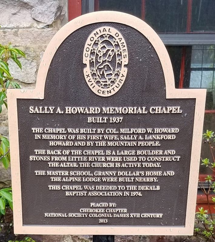
Sally A. Howard Memorial Chapel
Built 1937
Photographed by David J Gaines, March 26, 2024
1. Sally A. Howard Memorial Chapel Marker
Erected 2013 by Cherokee Chapter National Society Colonial Dames VXII Century.
Topics. This historical marker is listed in this topic list: Religion & Religious Structures. A significant historical year for this entry is 1937.
Location. 34° 30.33′ N, 85° 36.921′ W. Marker is in Mentone, Alabama, in DeKalb County. It is at the intersection of County Road 165 and County Road 617, on the right when traveling east on County Road 165. Touch for map. Marker is in this post office area: Mentone AL 35984, United States of America. Touch for directions.

Regionally, this marker is in North Alabama. It is also in the American South, specifically in the Deep South, in Appalachia, and specifically in Southern Appalachia.
this page online
Other nearby markers. At least 8 other markers are within 8 miles of this marker, measured as the crow flies: The A. A. Miller Dam (approx. 3.3 miles away); Site of the Willstown Mission (approx. 4.3 miles away); Site of Cherokee Council Tree (approx. 4.3 miles away); Former Site of Battelle (approx. 4½ miles away); Town Of Mentone (approx. 5.3 miles away); Coe Incline (approx. 6.7 miles away); Sequoyah | Socks | Song | Scenery (approx. 7.3 miles away); Fort Payne Opera House (approx. 7.3 miles away). Touch for a list and map of all markers in Mentone.
Photographed by David J Gaines, March 26, 2024
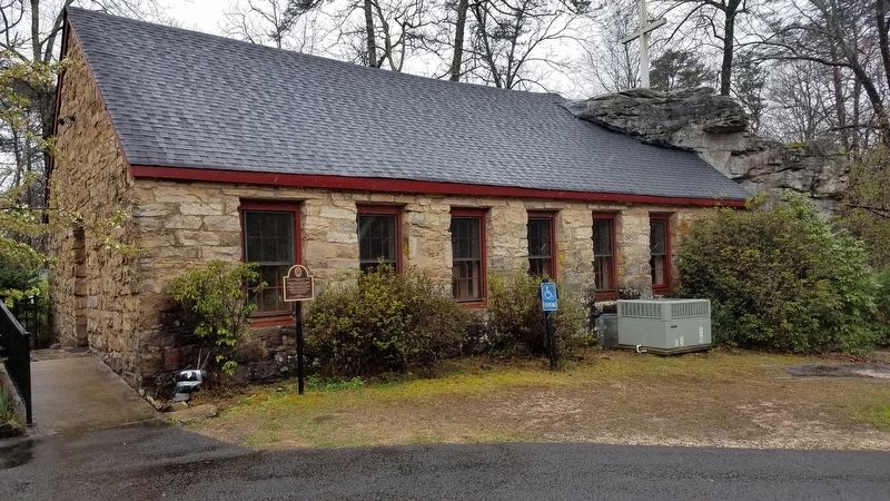
2. Sally A. Howard Memorial Chapel
Photographed by David J Gaines, March 26, 2024
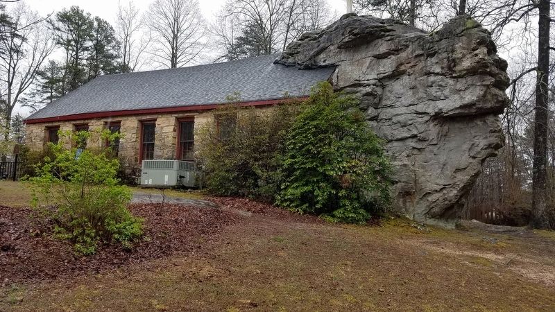
3. Sally A. Howard Memorial Chapel
Credits. This page was last revised on November 19, 2024. It was originally submitted on April 1, 2024, by David J Gaines of Pinson, Alabama. This page has been viewed 375 times since then and 52 times this year. Photos: 1, 2, 3. submitted on April 1, 2024, by David J Gaines of Pinson, Alabama. • James Hulse was the editor who published this page.
