Waterloo in Waterloo Region, Ontario — Central Canada (North America)
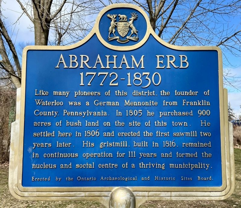
Abraham Erb
1772-1830
Erected by the Ontario Archaeological and Historic Sites Board.
Erected by Ontario Archaeological and Historic Sites Board.
Topics and series. This historical marker is listed in these topic lists: Agriculture • Industry & Commerce • Settlements & Settlers. In addition, it is included in the Canada, Ontario Heritage Foundation series list. A significant historical year for this entry is 1805.
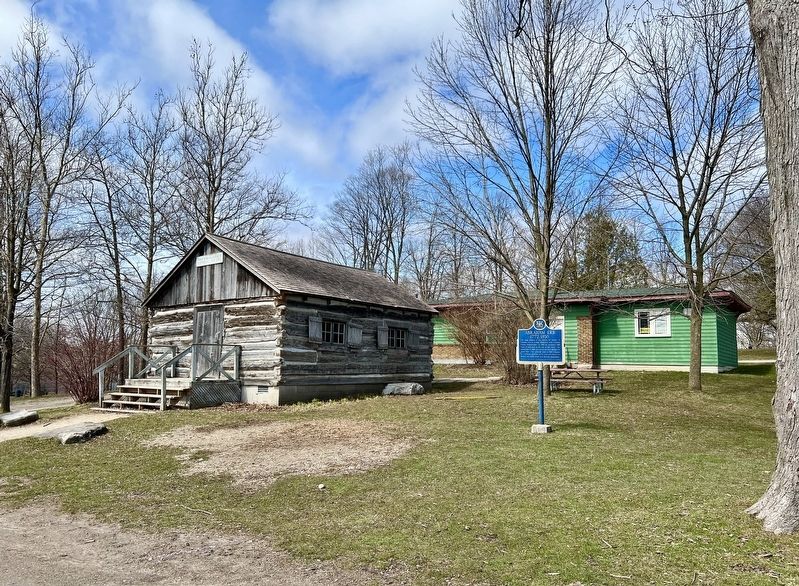
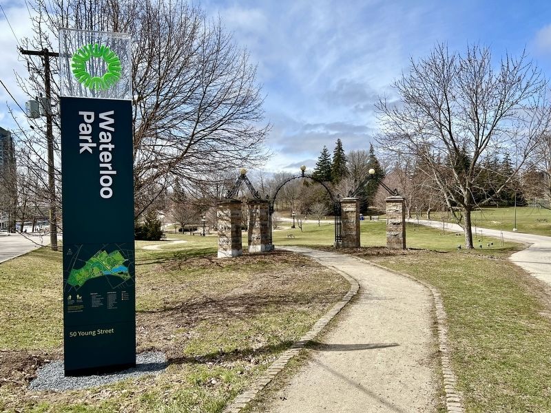
Location. 43° 28.028′ N, 80° 31.782′ W. Marker is in Waterloo, Ontario, in Waterloo Region. The marker is in Waterloo Park, accessible from the parking lot approx. 300 metres from the Young Street West entrance. Touch for map. Marker is in this post office area: Waterloo ON N2L N2L, Canada. Touch for directions.
Other nearby markers. At least 8 other markers are within 5 kilometers of this marker, measured as the crow flies. Log Schoolhouse (a few steps from this marker); The One Hundredth Anniversary of the Incorporation of Waterloo as a Village (about 150 meters away, measured in a direct line); The First Lutheran Seminary in Canada (approx. 0.6 kilometers away); Wilfred Laurier University/ Université Wilfred Laurier (approx. 0.6 kilometers away); The University of Waterloo (approx. 0.8 kilometers away); Mutual Life Head Office / Siège Social de la Mutuelle du Canada, Compagnie d'Assurance Sur la Vie (approx. 1.5 kilometers away); St. Mary Our Lady of the Seven Sorrows Roman Catholic Parish (approx. 3.5 kilometers away); Centennial of Victoria Park (1896-1996) (approx. 3.6 kilometers away). Touch for a list and map of all markers in Waterloo.
Credits. This page was last revised on April 3, 2024. It was originally submitted on April 2, 2024, by Tim Boyd of Hamilton, Ontario. This page has been viewed 47 times since then. Photos: 1, 2, 3, 4. submitted on April 2, 2024, by Tim Boyd of Hamilton, Ontario. • Andrew Ruppenstein was the editor who published this page.


