Smithfield in Isle of Wight County, Virginia — The American South (Mid-Atlantic)
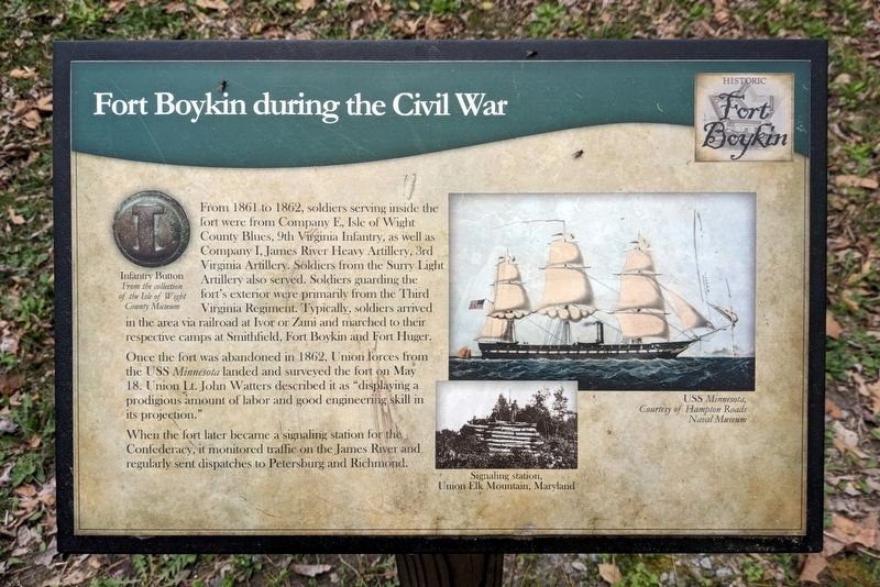
Fort Boykin during the Civil War
— Historic Fort Boykin —
Once the fort was abandoned in 1862, Union forces from the USS Minnesota landed and surveyed the fort on May 18. Union Lt. John Watters described it as "displaying a prodigious amount of labor and good engineering skill in its projection."
(captions)
Infantry Button From the collection of The Isle of Wight County Museum
USS Minnesota, Courtesy of Hampton Roads Naval Museum
Signaling station, Union Elk Mountain, Maryland
Erected by Isle of Wight County.
Topics. This historical marker is listed in these topic lists: Forts and Castles • War, US Civil. A significant historical date for this entry is May 18, 1862.
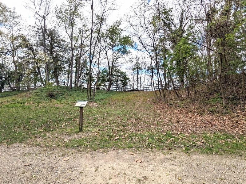
Location. 37° 2.093′ N, 76° 37.171′ W. Marker is in Smithfield, Virginia, in Isle of Wight County. Marker can be reached from Fort Boykin Trail (Virginia Route 705) near Morgarts Beach Road (Virginia Route 673), on the left when traveling north. Touch for map. Marker is at or near this postal address: 7410 Fort Boykin Trail, Smithfield VA 23430, United States of America. Touch for directions.
Other nearby markers. At least 8 other markers are within walking distance of this marker. The Historic James and its Tributaries (within shouting distance of this marker); Camp Eustis Attacks Fort Boykin (about 400 feet away, measured in a direct line); Fort Boykin Memorial (about 400 feet away); The Fort's Last Private Owners (about 500 feet away); The Well (about 500 feet away); Fort Boykin (about 600 feet away); Welcome to Fort Boykin (about 600 feet away); Welcome to Fort Boykin Historic Park (about 600 feet away). Touch for a list and map of all markers in Smithfield.
Also see . . . Fort Boykin. Isle of Wight County Museum (Submitted on April 6, 2024.)
Credits. This page was last revised on April 6, 2024. It was originally submitted on April 5, 2024, by Bernard Fisher of Richmond, Virginia. This page has been viewed 49 times since then. Photos: 1, 2. submitted on April 5, 2024, by Bernard Fisher of Richmond, Virginia.

