Smithfield in Isle of Wight County, Virginia — The American South (Mid-Atlantic)
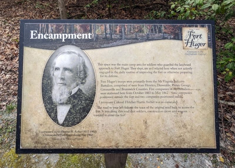
Encampment
Gateway to the Confederate Capital
— Historic Fort Huger —
Fort Huger's troops were primarily from the 5th Virginia Infantry Battalion, comprised of men from Henrico, Dinwiddie, Prince George, Greensville and Brunswick Counties. Five companies were stationed here from October 1861 to May 1862 - three companies positioned outside the fort and two companies positioned inside.
Lieutenant Colonel Fletcher Harris Archer was in command.
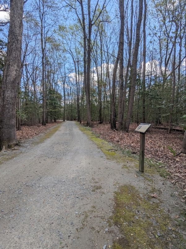
The road to your left follows the trace of the original road built to access the fort. It was along this road that soldiers, construction crews and wagons traveled to enter the fort.
(caption) Lieutenant Colonel Fletcher H. Archer (1817-1902)
Commander of Fort Huger during May 1862
Courtesy of the Library of Virginia
Erected by Isle of Wight County.
Topics. This historical marker is listed in these topic lists: Forts and Castles • War, US Civil. A significant historical month for this entry is May 1862.
Location. 37° 6.646′ N, 76° 39.677′ W. Marker is in Smithfield, Virginia , in Isle of Wight County. Marker can be reached from the intersection of Talcott Terrace and Lawnes Neck Drive, on the right when traveling east. Touch for map. Marker is at or near this postal address: 15080 Talcott Ter, Smithfield VA 23430, United States of America. Touch for directions.
Other nearby markers. At least 8 other markers are within walking distance of this marker. Fifth Battalion Virginia Infantry (within shouting distance of this marker); Fort Huger (within shouting distance of this marker); Welcome to Fort Huger (within shouting distance of this marker); a different marker also named Fort Huger (within shouting distance of this marker); Bridge (about 300 feet away, measured in a direct line); Fort Entrance & Defense (approx. 0.2 miles away); The Fort (approx. 0.2 miles away); Hot Shot Furnace & Shell House (approx. 0.2 miles away). Touch for a list and map of all markers in Smithfield.
Also see . . . Fort Huger. Isle of Wight County Museum (Submitted on April 6, 2024.)
Credits. This page was last revised on April 7, 2024. It was originally submitted on April 5, 2024, by Bernard Fisher of Richmond, Virginia. This page has been viewed 33 times since then. Photos: 1. submitted on April 5, 2024, by Bernard Fisher of Richmond, Virginia. 2. submitted on April 6, 2024, by Bernard Fisher of Richmond, Virginia.

