Vicksburg in Warren County, Mississippi — The American South (East South Central)
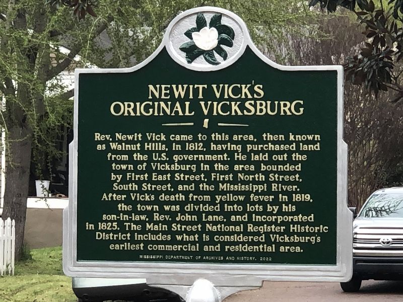
Newit Vick's Original Vicksburg
Inscription.
Rev. Newit Vick came to this area, then known
as Walnut Hills, in 1812, having purchased land
from the U.S. government. He laid out the
town of Vicksburg in the area bounded
by First East Street, First North Street,
South Street, and the Mississippi River.
After Vick's death from yellow fever in 1819,
the town was divided into lots by his
son-in-law, Rev. John Lane, and incorporated
in 1825. The Main Street National Register Historic
District includes what is considered Vicksburg's
earliest commercial and residential area.
Erected 2022 by Mississippi Department of Archives and History.
Topics and series. This historical marker is listed in this topic list: Settlements & Settlers. In addition, it is included in the Mississippi State Historical Marker Program series list. A significant historical year for this entry is 1812.
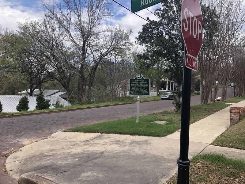
Location. 32° 21.268′ N, 90° 52.588′ W. Marker is in Vicksburg, Mississippi, in Warren County. Marker is at the intersection of 1st East Street and Adams Street, on the right when traveling east on 1st East Street. Touch for map. Marker is at or near this postal address: 1100 1st E St, Vicksburg MS 39183, United States of America. Touch for directions.
Other nearby markers. At least 8 other markers are within walking distance of this marker. Anchuca (within shouting distance of this marker); Happy Home (about 300 feet away, measured in a direct line); Main Street Historic District and Amendment Area (about 300 feet away); Antebellum (about 300 feet away); Judge Lake (about 400 feet away); Christ Episcopal Church (about 400 feet away); a different marker also named Christ Episcopal Church (about 400 feet away); Main and Cherry (about 500 feet away). Touch for a list and map of all markers in Vicksburg.
Credits. This page was last revised on April 5, 2024. It was originally submitted on April 5, 2024, by Duane and Tracy Marsteller of Murfreesboro, Tennessee. This page has been viewed 41 times since then. Photos: 1, 2. submitted on April 5, 2024, by Duane and Tracy Marsteller of Murfreesboro, Tennessee.

