Trillium Industrial Park in Kitchener in Waterloo Region, Ontario — Central Canada (North America)
Waterloo Historical Society
1912 2012
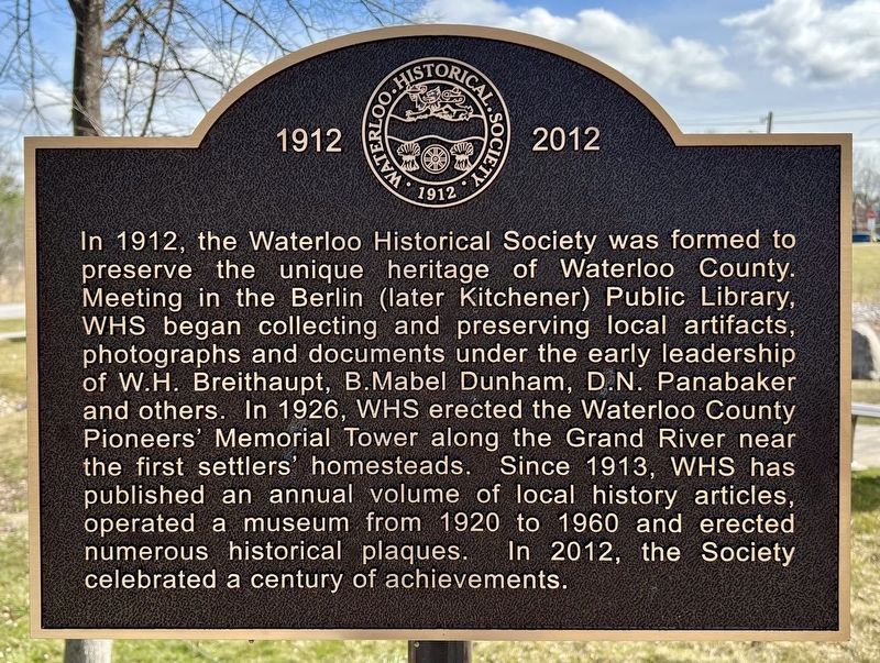
Photographed by Tim Boyd, March 31, 2024
1. Waterloo Historical Society Marker
Erected 2012 by Waterloo Historical Society.
Topics. This historical marker is listed in this topic list: Charity & Public Work. A significant historical year for this entry is 1912.
Location. 43° 24.031′ N, 80° 26.268′ W. Marker is in Kitchener, Ontario, in Waterloo Region. It is in Trillium Industrial Park. It is on Huron Road 0.1 kilometers east of Homer Watson Boulevard, on the left when traveling east. The marker is on the property of the Ken Seiling Waterloo
this page online

Regionally, this marker is in the Huron-Perth-Waterloo-Wellington Area and in Southwestern Ontario. It is also in Central Canada. Globally, it is in North America, the Western Hemisphere, the Western World, and the Anglosphere. Historically, it finds itself in what was once a British colony, the Viceroyalty of New France, the Haudenosaunee (Iroquois) Confederacy, and Rupert’s Land.
Other nearby markers. At least 8 other markers are within 2 kilometers of this marker, measured as the crow flies: The Huron Road (a few steps from this marker); Huron Road Bridge (about 180 meters away, measured in a direct line); Huron Road Crossroads at Bechtel’s Ford (approx. 0.4 kilometers away); Homer Ransford Watson (approx. 1.7 kilometers away); Doon School of Fine Arts 1948-1966 (approx. 1.7 kilometers away); Waterloo Pioneer Memorial Tower (approx. 1.8 kilometers away); Waterloo Pioneers / Pionniers de Waterloo (approx. 1.8 kilometers away); Pioneer Tower West (approx. 1.8 kilometers away).
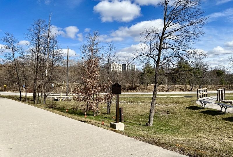
Photographed by Tim Boyd, March 31, 2024
2. Waterloo Historical Society Marker
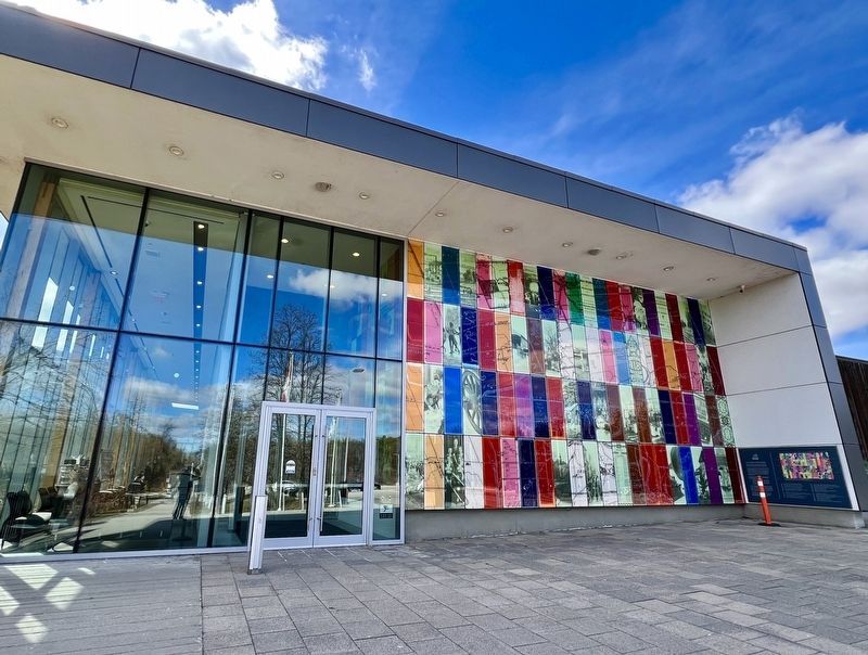
Photographed by Tim Boyd, March 31, 2024
3. The Ken Seiling Waterloo Region Museum
Credits. This page was last revised on April 9, 2024. It was originally submitted on April 5, 2024, by Tim Boyd of Hamilton, Ontario. This page has been viewed 259 times since then and 53 times this year. Photos: 1, 2, 3. submitted on April 5, 2024, by Tim Boyd of Hamilton, Ontario. • Andrew Ruppenstein was the editor who published this page.
