Locust Point Industrial Area in Baltimore, Maryland — The American Northeast (Mid-Atlantic)
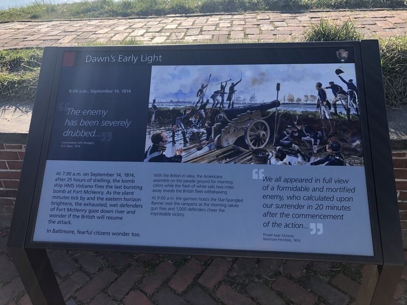
Dawn's Early Light
9:00 a.m., September 14, 1814
"The enemy has been severely drubbed…"
Commodore John Rodgers, U.S. Navy 1814
At 7:30 a.m. on September 14, 1814, after 25 hours of shelling, the bomb ship HMS Volcano fires the last bursting bomb at Fort McHenry. As the silent minutes tick by and the eastern horizon brightens, the exhausted, wet defenders of Fort McHenry gaze down river and wonder if the British will resume the attack.
In Baltimore, fearful citizens wonder too.
With the British in view, the Americans assemble on the parade ground for morning colors while the flash of white sails two miles away reveals the British fleet withdrawing.
At 9:00 a.m. the garrison hoists the Star-Spangled Banner over the ramparts as the morning salute gun fires and 1,000 defenders cheer the improbable victory.
"We all appeared in full view of a formidable and mortified enemy, who calculated upon our surrender in 20 minutes after the commencement of the action…"
Private Isaac Munroe, Baltimore Fencibles, 1814.
Erected by National Park Service, U.S. Department of the Interior.
Topics and series. This historical marker is listed in these topic lists: Forts and Castles • War of 1812 • Waterways & Vessels. In addition, it is included in the Maryland, Fort McHenry series list. A significant historical date for this entry is September 14, 1814.
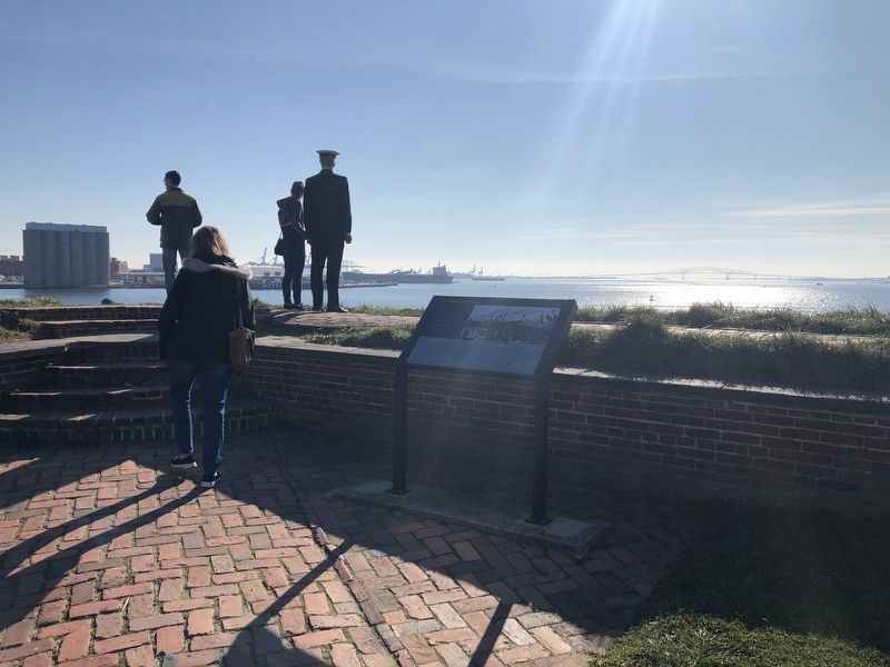
Location. 39° 15.791′ N, 76° 34.755′ W. Marker is in Baltimore, Maryland. It is in the Locust Point Industrial Area. Marker can be reached from Constellation Plaza, 0.3 miles east of Wallace Street, on the right when traveling east. Touch for map. Marker is at or near this postal address: 2400 East Fort Avenue, Baltimore MD 21230, United States of America. Touch for directions.
Other nearby markers. At least 8 other markers are within walking distance of this marker. The Great Guns of the Fort… The Rodman Cannons (a few steps from this marker); Experimental Carriages (a few steps from this marker); You Can Help Save Fort McHenry (a few steps from this marker); Ravelin Magazine (within shouting distance of this marker); Entering Fort McHenry … A Deadly Crossfire (within shouting distance of this marker); 1814 Enlisted Men's Barracks, No 2 (within shouting distance of this marker); Bombproofs (within shouting distance of this marker); Civil War Guardhouse (within shouting distance of this marker). Touch for a list and map of all markers in Baltimore.
Credits. This page was last revised on April 6, 2024. It was originally submitted on February 17, 2020, by Devry Becker Jones of Washington, District of Columbia. This page has been viewed 168 times since then and 40 times this year. Last updated on April 6, 2024, by Carl Gordon Moore Jr. of North East, Maryland. Photos: 1, 2. submitted on February 17, 2020, by Devry Becker Jones of Washington, District of Columbia.

