Near Edwards in Hinds County, Mississippi — The American South (East South Central)
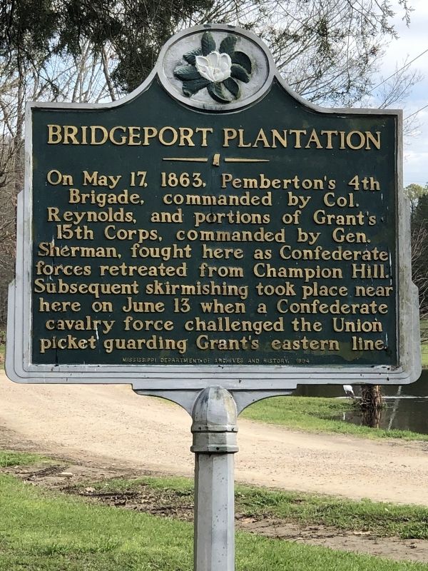
Bridgeport Plantation
Erected 1994 by Mississippi Department of Archives and History.
Topics and series. This historical marker is listed in this topic list: War, US Civil. In addition, it is included in the Mississippi State Historical Marker Program series list. A significant historical date for this entry is May 17, 1863.
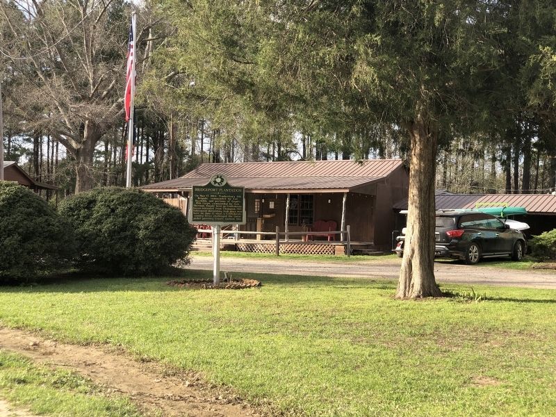
Location. 32° 22.132′ N, 90° 37.71′ W. Marker is near Edwards, Mississippi, in Hinds County. Marker is on Askew Landing Road, half a mile north of Askew Ferry Road when traveling north. Marker is in Askew's Landing RV Campground. Touch for map. Marker is at or near this postal address: 3412 Askew Ferry Rd, Edwards MS 39066, United States of America. Touch for directions.
Other nearby markers. At least 8 other markers are within 6 miles of this marker, measured as the crow flies. Lloyd Tilghman (approx. 5.6 miles away); A Narrow Escape (approx. 5.9 miles away); The Death of General Tilghman (approx. 5.9 miles away); Architecture and Renovations (approx. 5.9 miles away); Chicago Mercantile Battery - Artillery in the Yard (approx. 5.9 miles away); Indecision! Indecision! Indecision!/A Prompt Concentration of Our Forces (approx. 5.9 miles away); The Coker House and the Battle of Champion Hill (approx. 5.9 miles away); 1863 Vicksburg Campaign (approx. 5.9 miles away). Touch for a list and map of all markers in Edwards.
Also see . . . Askew’s Landing, Mississippi – Bridgeport Plantation to RV Park. As the Confederates fled their defeat at the Battle of Champion Hill, making their way back to Vicksburg, they took a number of routes. One group barreled through the old Bridgeport Plantation, just northeast of Edwards. (Kathy Weiser, "Legends of America" blog, 2013) (Submitted on April 6, 2024, by Duane and Tracy Marsteller of Murfreesboro, Tennessee.)
Credits. This page was last revised on April 6, 2024. It was originally submitted on April 6, 2024, by Duane and Tracy Marsteller of Murfreesboro, Tennessee. This page has been viewed 37 times since then. Photos: 1, 2. submitted on April 6, 2024, by Duane and Tracy Marsteller of Murfreesboro, Tennessee.

