Near Edwards in Hinds County, Mississippi — The American South (East South Central)
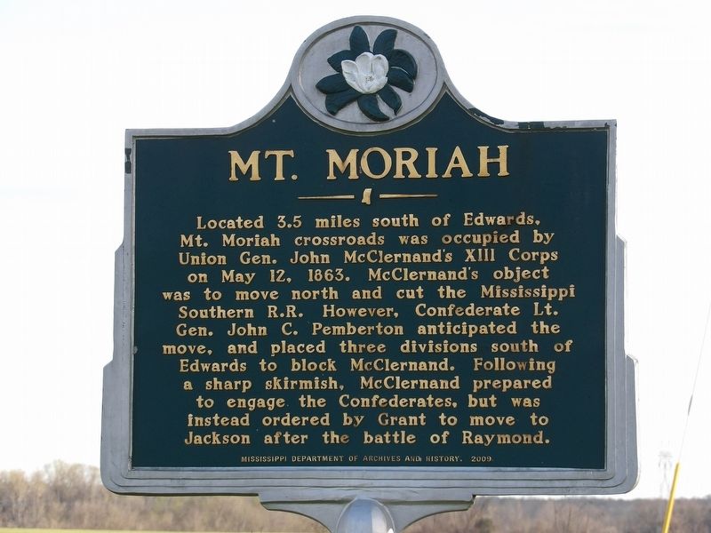
Mt. Moriah
Erected 2009 by Mississippi Department of Archives and History.
Topics and series. This historical marker is listed in this topic list: War, US Civil. In addition, it is included in the Mississippi State Historical Marker Program series list. A significant historical date for this entry is May 12, 1863.
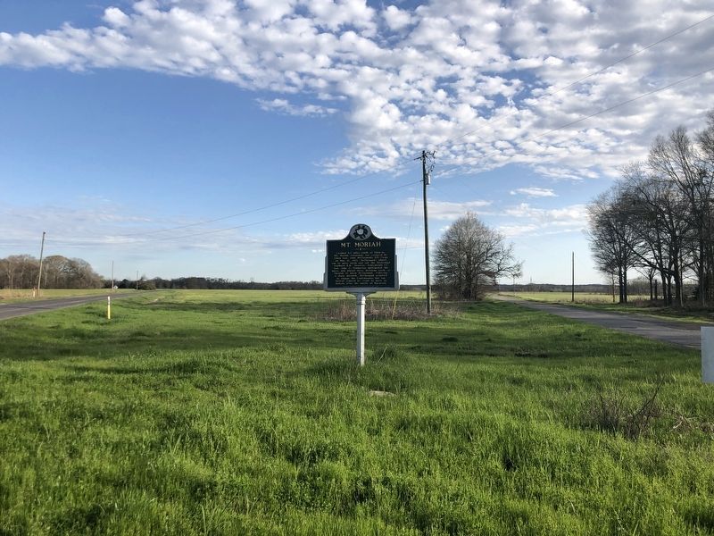
Location. 32° 16.99′ N, 90° 37′ W. Marker is near Edwards, Mississippi, in Hinds County. Marker is at the intersection of Mount Moriah Road and Smith Station Road on Mount Moriah Road. Touch for map. Marker is in this post office area: Edwards MS 39066, United States of America. Touch for directions.
Other nearby markers. At least 8 other markers are within 4 miles of this marker, measured as the crow flies. Lloyd Tilghman (approx. 3.4 miles away); Indecision! Indecision! Indecision!/A Prompt Concentration of Our Forces (approx. 3˝ miles away); 1863 Vicksburg Campaign (approx. 3˝ miles away); The Coker House and the Battle of Champion Hill (approx. 3˝ miles away); Architecture and Renovations (approx. 3˝ miles away); The Vicksburg Campaign (approx. 3˝ miles away); A Refugee Family (approx. 3˝ miles away); Artillery Duel (approx. 3˝ miles away). Touch for a list and map of all markers in Edwards.
Credits. This page was last revised on April 6, 2024. It was originally submitted on April 6, 2024, by Duane and Tracy Marsteller of Murfreesboro, Tennessee. This page has been viewed 41 times since then. Photos: 1, 2. submitted on April 6, 2024, by Duane and Tracy Marsteller of Murfreesboro, Tennessee.

