Medford in Middlesex County, Massachusetts — The American Northeast (New England)
David McGillyray's 3,452-Mile Run
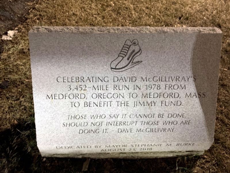
Photographed by Marc Posner, February 17, 2024
1. David McGillyray's 3,452-Mile Run Marker
Celebrating David McGillivray's 3,452-mile run in 1978 from Medford, Oregon to Medford, Mass. to benefit the Jimmy Fund.
"Those who say it cannot be done should not interrupt those who are doing it." - Dave McGillivray
Dedicated by Mayor Stephanie M. Burke
August 23, 2018
Erected 2018 by City of Medford.
Topics. This historical marker is listed in this topic list: Charity & Public Work. A significant historical year for this entry is 1978.
Location. 42° 25.107′ N, 71° 6.355′ W. Marker is in Medford, Massachusetts, in Middlesex County. It is at the intersection of Salem Street and George P Hassett Drive, on the right when traveling east on Salem Street. Located in front of Medford City Hall. Touch for map. Marker is at or near this postal address: 49 George P Hassett Drive, Medford MA 02155, United States of America. Touch for directions.

Regionally, this marker is in Historic Boston and specifically in Greater Boston. It is also in the American Northeast, in New England, and on the Eastern Seaboard. Globally, it is in the North Atlantic Region, North America, the Western Hemisphere, the Western World,
this page online
Other nearby markers. At least 8 other markers are within walking distance of this marker: [History of Medford Government] (a few steps from this marker); New Hampshire Soldiers Bunker Hill Memorial (about 500 feet away, measured in a direct line); Captain Isaac Hall (about 500 feet away); Medford Revolutionary War Memorial (about 500 feet away); Cemetery for the Enslaved (about 600 feet away); Salem Street Burying Ground (about 600 feet away); The Black Dahlia (approx. 0.2 miles away); “Jingle Bells” Composed Here (approx. ¼ mile away). Touch for a list and map of all markers in Medford.
Also see . . . Dave McGillivray (Wikipedia). (Submitted on April 14, 2024, by Michael Herrick of Southbury, Connecticut.)
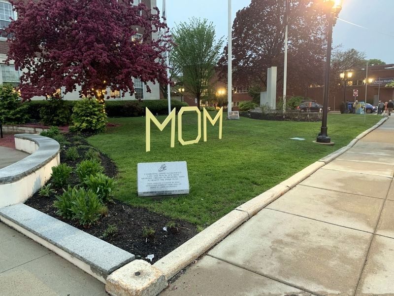
Photographed by Marc Posner, May 8, 2024
2. Marker on the lawn of Medford City Hall (on Mother's Day)
Credits. This page was last revised on June 14, 2024. It was originally submitted on April 6, 2024, by Marc Posner of Somerville, Massachusetts. This page has been viewed 258 times since then and 20 times this year. Photos: 1. submitted on April 6, 2024, by Marc Posner of Somerville, Massachusetts. 2. submitted on June 5, 2024, by Marc Posner of Somerville, Massachusetts. • Michael Herrick was the editor who published this page.
Editor’s want-list for this marker. A wide view photo of the marker and its surroundings. • • • Can you help?
