Macon in Bibb County, Georgia — The American South (South Atlantic)
Muscogee (Creek) 1600-1826
Ocmulgee National Monument
Muscogee (Creek) 1600-1826
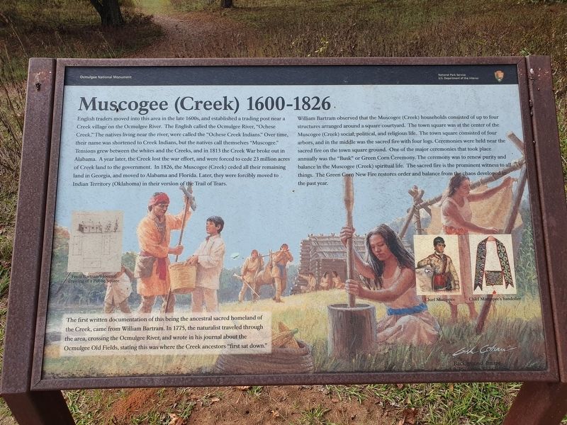
English traders moved into this area in the late 1600s, and established a trading post near a Creek village on the Ocmulgee River. The English called the Ocmulgee River, "Ochese Creek." The natives living near the river, were called the "Ochese Creek Indians." Over time, their name was shortened to Creek Indians, but the natives call themselves "Muscogee." Tensions grew between the whites and the Creeks, and in 1813 the Creek War broke out in Alabama. A year later, the Creek lost the war effort, and were forced to cede 23 million acres of Creek land to the government. In 1826, the Muscogee (Creek) ceded all their remaining land in Georgia, and moved to Alabama and Florida. Later, they were forcibly moved to Indian Territory (Oklahoma) in their version of the Trail of Tears.
William Bartram observed that the Muscogee (Creek) households consisted of up to four structures arranged around a square courtyard. The town square was at the center of the Muscogee (Creek) social, political, and religious life. The town square consisted of four arbors, and in the middle was the sacred fire with four logs. Ceremonies were held near the sacred fire on the town square ground. One of the major ceremonies that took place annually was the "Busk" or Green Corn Ceremony. The ceremony was to renew purity and balance in the Muscogee (Creek) spiritual life. The sacred fire is the prominent witness to all things. The Green Corn New Fire restores order and balance from the chaos developed in the past year.
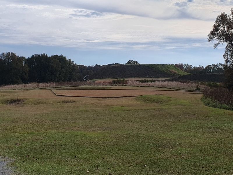
The first written documentation of this being the ancestral sacred homeland of the Creek, came from William Bartram. In 1775, the naturalist traveled through the area, crossing the Ocmulgee River, and wrote in his journal about the Ocmulgee Old Fields, stating this was where the Creek ancestors "first sat down."
Captions
From Bartram Journal drawing of a Public Square
Chief Mistippee
Chief Mistippee's bandolier
Gil Cohen · Background Image
Erected by National Park Service.
Topics. This historical marker is listed in this topic list: Native Americans. A significant historical year for this entry is 1813.
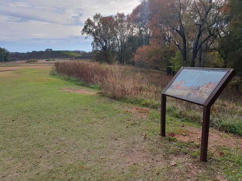
Location. 32° 50.375′ N, 83° 36.45′ W. Marker is in Macon, Georgia, in Bibb County. Marker can be reached from Park path south of Ocmulgee National Park Road, on the right when traveling south. Touch for map. Marker is in this post office area: Macon GA 31217, United States of America. Touch for directions.
Other nearby markers. At least 8 other markers are within walking distance of this marker. Trading with the British 1690-1715 (about 300 feet away, measured in a direct line); Paleo Indian Period 15000 B.C.E. - 8000 B.C.E. (about 500 feet away); Mississippian Period 900 - 1600
(about 800 feet away); The Great Temple Mound and Town Site (approx. 0.2 miles away); The "Iron Horse" devastates the mounds (approx. 0.2 miles away); Cornfield Mound and Prehistoric Trenches (approx. 0.2 miles away); Ocmulgee's Earth Lodge - America's Oldest Ceremonial Lodge (approx. 0.2 miles away); Southeast Mound (approx. 0.2 miles away). Touch for a list and map of all markers in Macon.
Credits. This page was last revised on April 6, 2024. It was originally submitted on April 6, 2024, by J. Makali Bruton of Accra, Ghana. This page has been viewed 45 times since then. Photos: 1, 2, 3. submitted on April 6, 2024, by J. Makali Bruton of Accra, Ghana.


