Near Marietta in Cobb County, Georgia — The American South (South Atlantic)
Profit…and Loss
— Kennesaw Mountain National Battlefield Park —
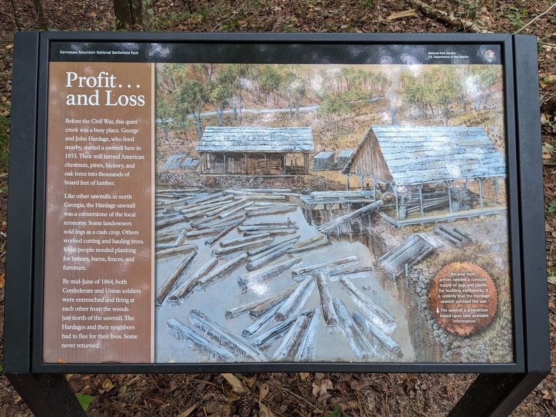
Like other sawmills in north Georgia, the Hardage sawmill was a cornerstone of the local economy. Some landowners sold logs as a cash crop. Others worked cutting and hauling trees. Most people needed planking for houses, barns, fences, and furniture.
By mid-June of 1864, both Confederate and Union soldiers were entrenched and firing at each other from the woods just north of the sawmill. The Hardages and their neighbors had to flee for their lives. Some never returned.
(caption)
Because both armies needed a constant supply of logs and planks for building earthworks, it is unlikely that the Hardage sawmill survived the war.
The sawmill is a rendition based upon best available information.
Erected by National Park Service, U.S. Department of the Interior.
Topics. This historical marker is listed in these topic lists: Industry & Commerce • War, US Civil. A significant historical year for this entry is 1853.
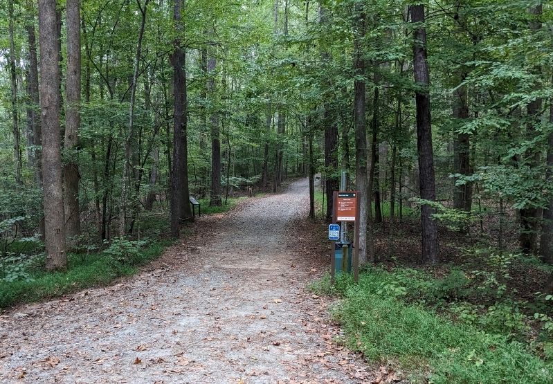
Location. 33° 57.219′ N, 84° 35.829′ W. Marker is near Marietta, Georgia, in Cobb County. Marker can be reached from the intersection of Burnt Hickory Road NW and Old Mountain Rd NW, on the left when traveling west. Marker is a wayside exhibit on the Noses Creek Trail and is located just north of Noses Creek. The marker is 0.8 miles south of the trailhead at Burnt Hickory Road, and 0.6 miles north of the trailhead at Dallas Highway. Touch for map. Marker is at or near this postal address: 1520 Burnt Hickory Rd NW, Marietta GA 30064, United States of America. Touch for directions.
Other nearby markers. At least 8 other markers are within walking distance of this marker. US Regulars Monument (approx. 0.6 miles away); Interlocking Defenses (approx. 0.7 miles away); Run, Johnny, Run! (approx. 0.7 miles away); Logan’s 15th A.C. Line (approx. 0.7 miles away); Undercooks, Nurses, and Freedom (approx. 0.7 miles away); Assault on Pigeon Hill (approx. 0.7 miles away); Kennesaw Battlefield (approx. 0.7 miles away); Kennesaw Spur (approx. 0.7 miles away). Touch for a list and map of all markers in Marietta.
Also see . . . Kennesaw Mountain National Battlefield Park. National Park Service (Submitted on April 7, 2024.)
Credits. This page was last revised on April 7, 2024. It was originally submitted on April 7, 2024. This page has been viewed 38 times since then. Photos: 1, 2. submitted on April 7, 2024. • Bernard Fisher was the editor who published this page.

