Genegantslet in Greene in Chenango County, New York — The American Northeast (Mid-Atlantic)
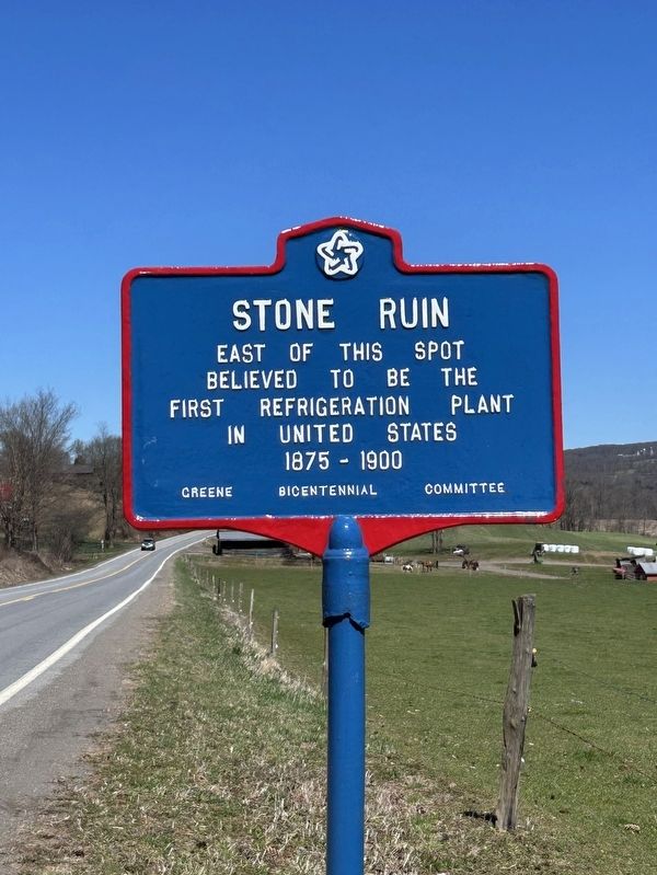
Stone Ruin
Photographed by Susan A. Dalaba, April 7, 2024
1. Stone Ruin Marker
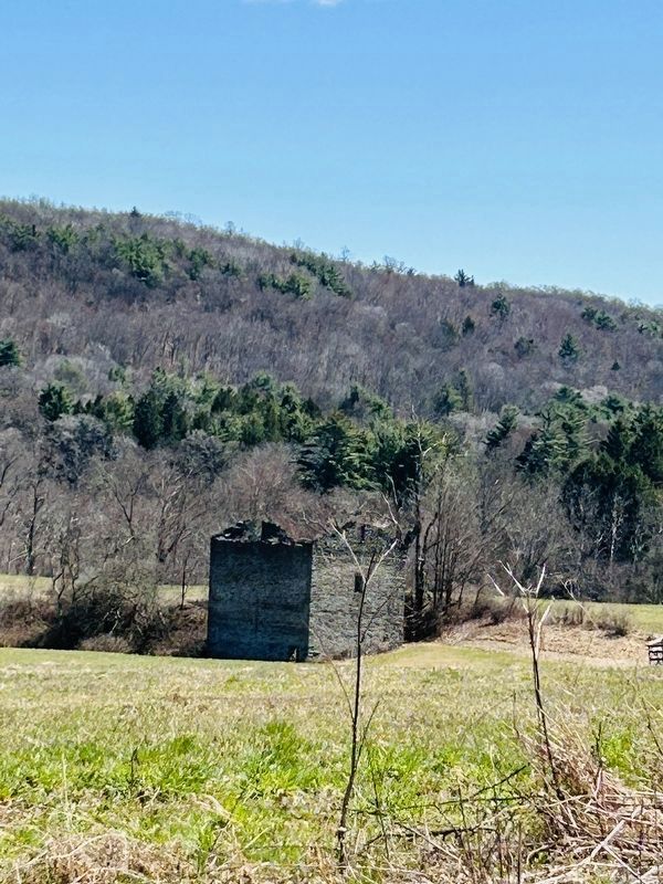
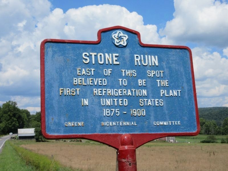
East of this spot believed to be the first refrigeration plant in United States
1875 - 1900
Erected by Green Bicentennial Committee.
Topics. This historical marker is listed in this topic list: Industry & Commerce. A significant historical year for this entry is 1875.
Location. 42° 21.314′ N, 75° 48.615′ W. Marker is in Greene, New York, in Chenango County. It is in Genegantslet. It is on North Genegantslet Road (County Route 2) 0.4 miles north of New York State Route 206, on the right when traveling north. Touch for map. Marker is at or near this postal address: 849 County Road 2, Greene NY 13778, United States of America. Touch for directions.

Regionally, this marker is in Upstate New York and in the Southern Tier. It is also in the American Northeast, in the Mid-Atlantic, in Appalachia, and specifically in Northern Appalachia. Globally, it is in North America, the Western Hemisphere, the Western World, and the Anglosphere. Historically, it finds itself in what was once New Netherland and also one of the original Thirteen Colonies.
Other nearby markers. At least 8 other markers are within 3 miles
this page online
Photographed by Susan A. Dalaba, April 7, 2024
2. The Stone Ruin
Photographed by Susan A. Dalaba, April 7, 2024
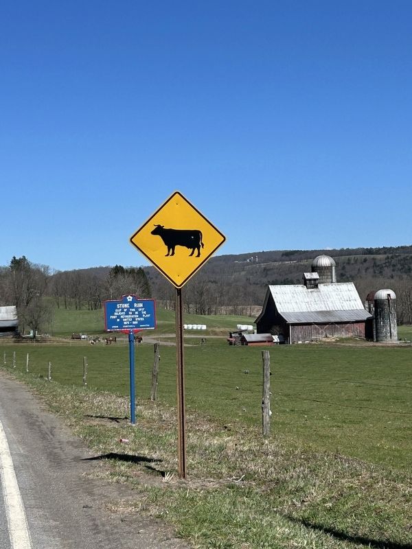
3. Stone Ruin Marker
Photographed by Susan A. Dalaba, April 7, 2024
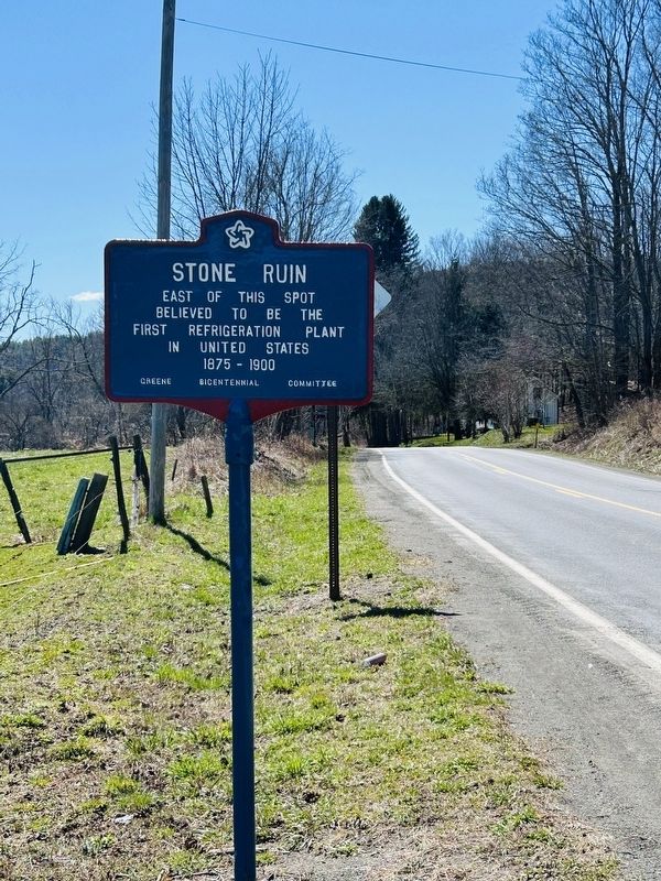
4. Stone Ruin Marker
Photographed by Mira Earls, circa 2022
5. Stone Ruin Marker as it looked in August 2022
Credits. This page was last revised on July 30, 2026. It was originally submitted on April 7, 2024, by Susan A. Dalaba of Cortland, New York. This page has been viewed 403 times since then and 74 times this year. Photos: 1, 2, 3, 4. submitted on April 7, 2024, by Susan A. Dalaba of Cortland, New York. 5. submitted on July 21, 2026, by Mira Earls of Cortland, New York. • Michael Herrick was the editor who published this page.
