Nipigon in Thunder Bay District, Ontario — Central Canada (North America)
Nipigon Historical Museum / The Railway
Nipigon Historical Museum
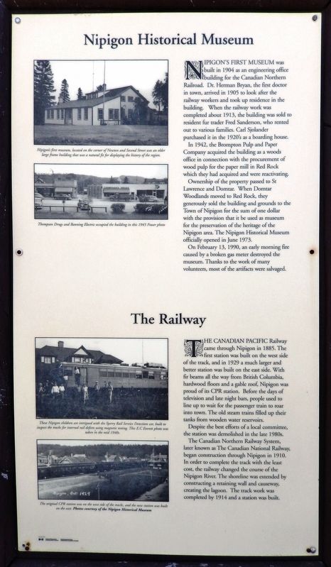
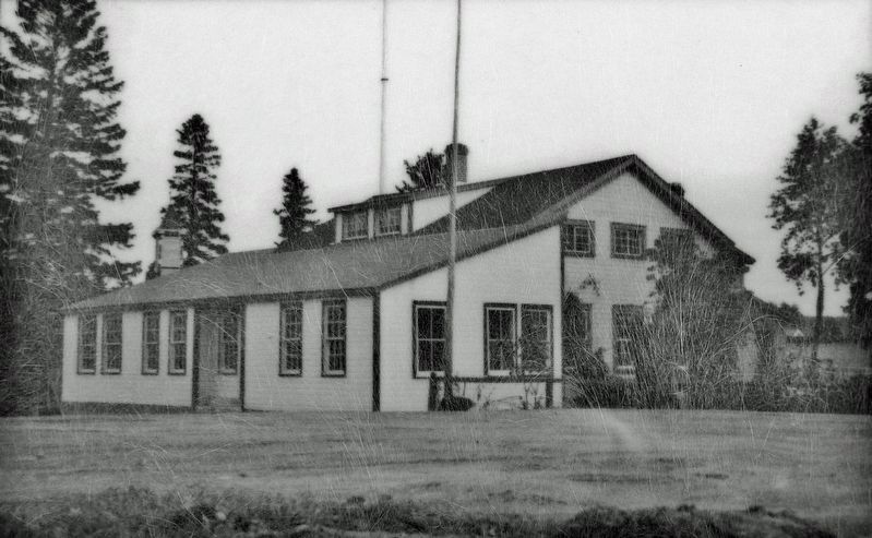
Nipigon’s first museum was built in 1904 as an engineering office building for the Canadian Northern Railroad. Dr. Herman Bryan, the first doctor in town, arrived in 1905 to look after the railway workers and took up residence in the building. When the railway work was completed about 1913, the building was sold to resident fur trader Fred Sanderson, who rented out to various families. Carl Sjolander purchased it in the 1920's as a boarding house.
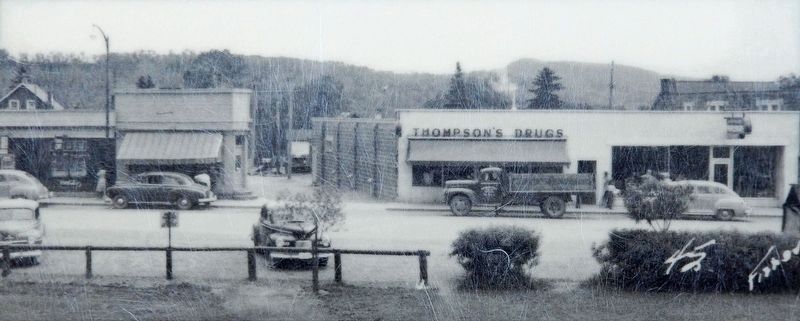
In 1942, the Brompton Pulp and Paper Company acquired the building as a woods office in connection with the procurement of wood pulp for the paper mill in Red Rock which they had acquired and were reactivating.
Ownership of the property passed to St Lawrence and Domtar. When Domtar Woodlands moved to Red Rock, they generously sold the building and grounds to the Town of Nipigon for the sum of one dollar with the provision that it be used as museum for the preservation of the heritage of the Nipigon area. The Nipigon Historical Museum officially opened in June 1973.
On February 13, 1990, an early morning fire caused by a broken gas meter destroyed the museum. Thanks to the work of many volunteers, most of the artifacts were salvaged.
The Railway
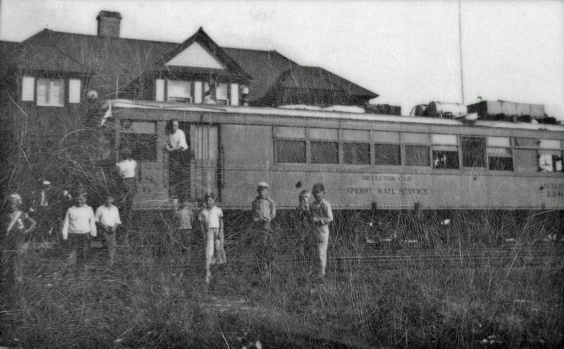
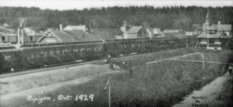
The Canadian Pacific Railway came through Nipigon in 1885. The first station was built on the west side of the track, and in 1929 a much larger and better station was built on the east side. With fir beams all the way from British Columbia, hardwood floors and a gable roof, Nipigon was proud of its CPR station. Before the days of television and late night bars, people used to line up to wait for the passenger train to roar into town. The old steam trains filled up their tanks from wooden water reservoirs.
Despite the best efforts of a local committee, the station was demolished in the late 1980s.
The Canadian Northern Railway System, later known as The Canadian National Railway, began construction through Nipigon in 1910. In order to complete the track with the least cost, the railway changed the course of the Nipigon River. The shoreline was extended by constructing a retaining wall and causeway, creating the lagoon. The track work was completed by 1914 and a station was built.
Topics. This historical marker is listed in these topic lists: Industry & Commerce • Railroads & Streetcars • Settlements & Settlers • Waterways & Vessels. A significant historical year for this entry is 1904.
Location. 49° 0.779′ N, 88° 15.77′ W. Marker is in Nipigon, Ontario, in Thunder Bay District. Marker is on Front Street just north of 3rd Street, on the right when traveling north. The marker
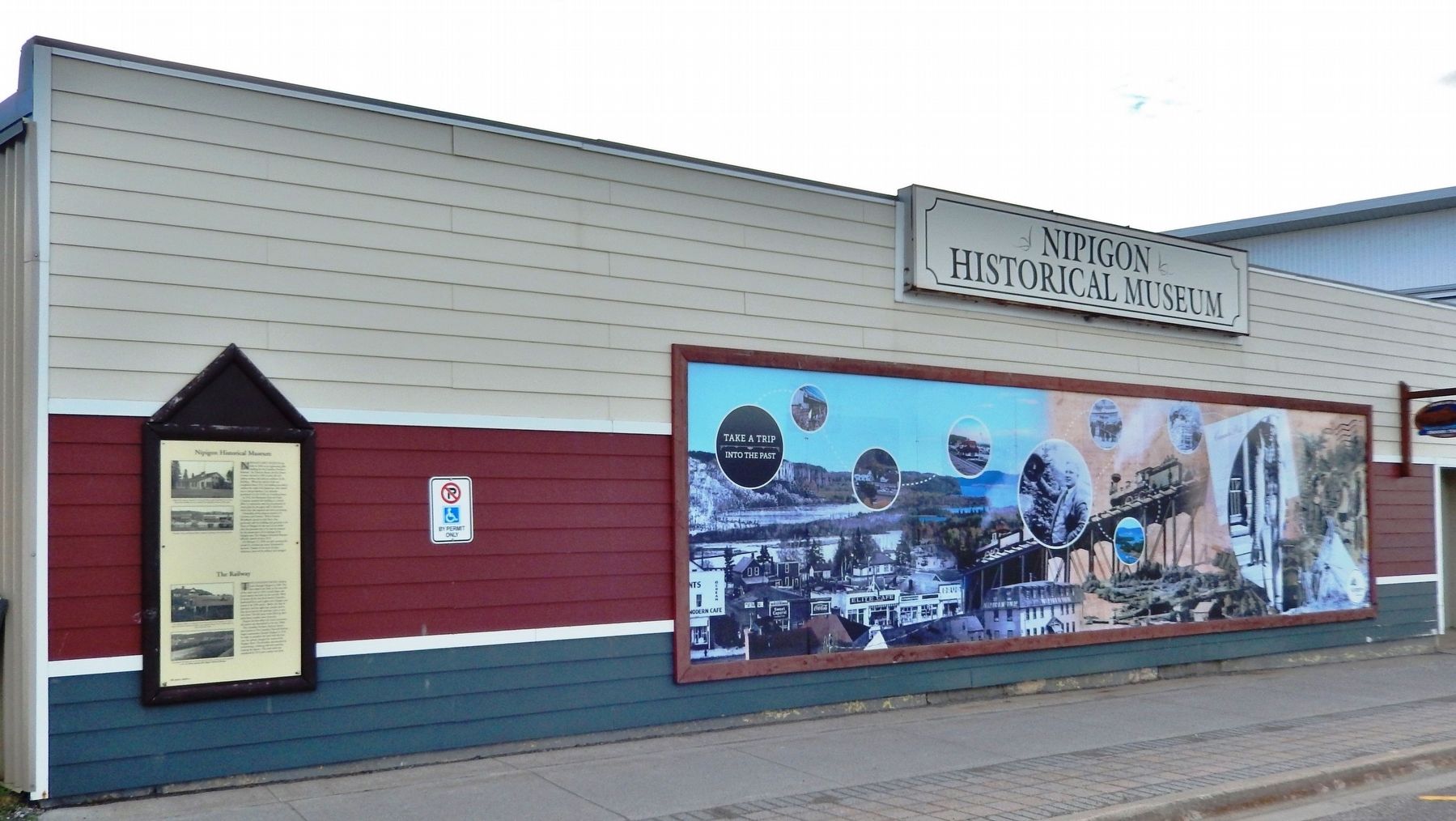
is mounted at eye-level on the northwest corner of the Nipigon Historical Museum, facing Front Street. Touch for map. Marker is at or near this postal address: 40 Front Street, Nipigon ON P0T 2J0, Canada. Touch for directions.
Other nearby markers. At least 8 other markers are within walking distance of this marker. McKirdy / Vivone House (within shouting distance of this marker); The Ovilio Hotel (within shouting distance of this marker); The Taylor House (about 90 meters away, measured in a direct line); The Nipigon Café (about 90 meters away); Revillon Brothers (about 120 meters away); Early Post Office (about 120 meters away); Hudson's Bay Company (about 120 meters away); Consumers Co-op Store (about 120 meters away). Touch for a list and map of all markers in Nipigon.
Also see . . .
1. Nipigon Historical Museum. Excerpt:
The Nipigon Historical Museum displays a number of artifacts that will help you to understand the rich history of the Town of Nipigon and its surrounding area. Quick Facts:(Submitted on April 10, 2024, by Cosmos Mariner of Cape Canaveral, Florida.)
• In 1665 the Nipigon District was leased to the Company of 100 Associates and the Fur Trade began. Missionaries arrived two years later.
• The Boreal Forests were being cut in the 1880’s.
• In 1885 the C.P.R. bridge spanned the Nipigon River.
• The first of 3 hydro dams on the Nipigon River went into operation in 1920. One of the original turbines is on display at the Nipigon Marina Park.
• In 1937 the highway bridge opened the way for East/West and North traffic to begin flowing over the Nipigon River. It wasn’t until 1961 that Highway 17 was open to Sault Ste. Marie.
2. Nipigon History: Railroads (Wikipedia). Excerpt:
In 1885, the Canadian Pacific Railroad (CPR) tracks were completed across the north shore of Lake Superior, boosting trade at the HBC post. But since the post was along the river, trade gradually shifted to new businesses built closer to the railroad. In 1899, the HBC built a retail shop across from the railway station in order to compete. In the 1910s, the Canadian Northern Railway was built through the township and opened for passenger service in 1915 (all traffic on this line ceased by 2005 and the rails were removed in 2010).(Submitted on April 10, 2024, by Cosmos Mariner of Cape Canaveral, Florida.)
Credits. This page was last revised on April 10, 2024. It was originally submitted on April 8, 2024, by Cosmos Mariner of Cape Canaveral, Florida. This page has been viewed 49 times since then. Photos: 1, 2, 3, 4, 5, 6. submitted on April 10, 2024, by Cosmos Mariner of Cape Canaveral, Florida.
