Mount Vernon in Rockcastle County, Kentucky — The American South (East South Central)
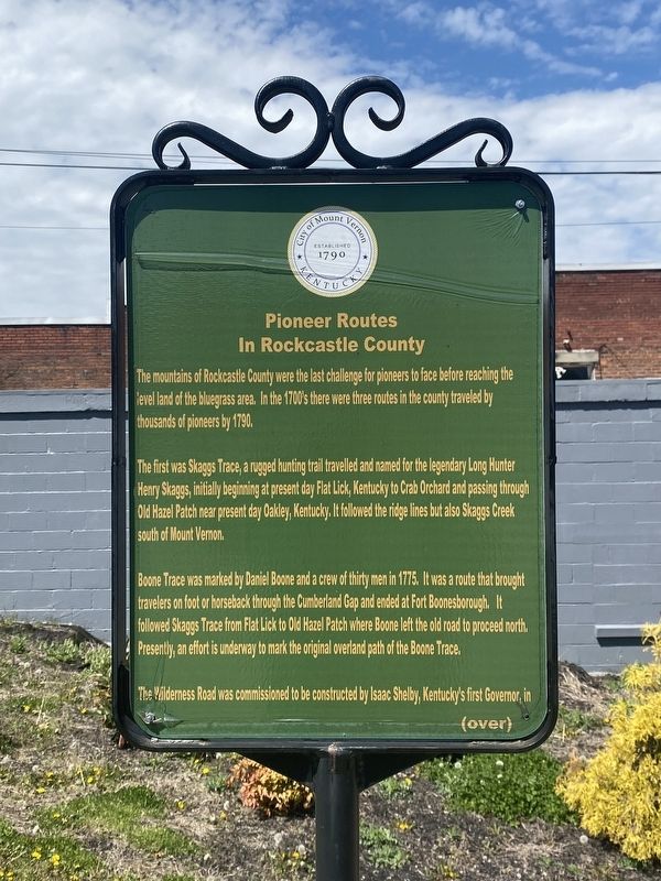
Pioneer Routes In Rockcastle County
The first was Skaggs Trace, a rugged hunting trail travelled and named for the legendary Long Hunter Henry Skaggs, initially beginning at present day Flat Lick, Kentucky to Crab Orchard and passing through Old Hazel Patch near present day Oakley, Kentucky. It followed the ridge lines but also Skaggs Creek south of Mount Vernon.
Boone Trace was marked by Daniel Boone and a crew of thirty men in 1775. It was a route that brought travelers on foot or horseback through the Cumberland Gap and ended at Fort Boonesborough. It followed Skaggs Trace from Flat Lick to Old Hazel Patch where Boone left the old road to proceed north. Presently, an effort is underway to mark the original overland path of the Boone Trace.
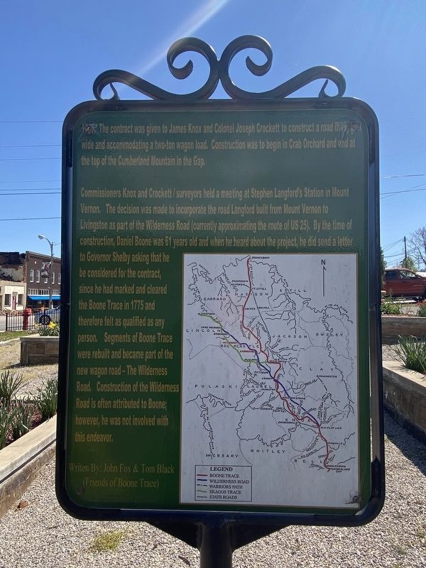
The Wilderness Road was commissioned to be constructed by Isaac Shelby, Kentucky's first Governor, in (indecipherable) the contract was given to James Knox and Colonel Joseph Crockett to construct a road thirty feet wide and accommodating a two-ton wagon load. Construction was to begin in Crab Orchard and end at the top of the Cumberland Mountain in the Gap.
Commissioners Knox and Crockett / surveyors held a meeting at Stephen Langford's Station in Mount Vernon. The decision was made to incorporate the road Langford built from Mount Vernon to Livingston as part of the Wilderness Road (currently approximating the route of US 25). By the time of construction, Daniel Boone was 61 years old and when he heard about the project, he did send a letter to Governor Shelby asking that he be considered for the contract, since he had marked and cleared the Boone Trace in 1775 and therefore felt as qualified as any person. Segments of Boone Trace were rebuilt and became part of the new wagon road - The Wilderness Road. Construction of the Wilderness Road is often attributed to Boone; however, he was not involved with this endeavor.
Erected by City of Mount Vernon.
Topics. This historical marker is listed in this topic list: Roads & Vehicles.
Location. 37° 21.207′ N, 84° 20.432′ W. Marker is in Mount Vernon, Kentucky, in Rockcastle County. Marker is at the intersection of West Main Street and Richmond Street, on the left when traveling west on West Main Street. Touch for map. Marker is at or near this postal address: 45 W Main St, Mount Vernon KY 40456, United States of America. Touch for directions.
Other nearby markers. At least 8 other markers are within walking distance of this marker. City of Mount Vernon - 1800's (here, next to this marker); Stephen Langford (a few steps from this marker); Longhunters / George Washington's Deer Park (a few steps from this marker); How the City of Mount Vernon was named (a few steps from this marker); C.C. Williams Home (a few steps from this marker); Fritz Krueger Building (within shouting distance of this marker); Triangle Park (within shouting distance of this marker); a different marker also named Triangle Park (within shouting distance of this marker). Touch for a list and map of all markers in Mount Vernon.
Credits. This page was last revised on April 14, 2024. It was originally submitted on April 8, 2024, by Darren Jefferson Clay of Duluth, Georgia. This page has been viewed 48 times since then. Photos: 1, 2, 3. submitted on April 11, 2024, by Darren Jefferson Clay of Duluth, Georgia. • James Hulse was the editor who published this page.


