
Wadesboro in Anson County, North Carolina — The American South (South Atlantic)
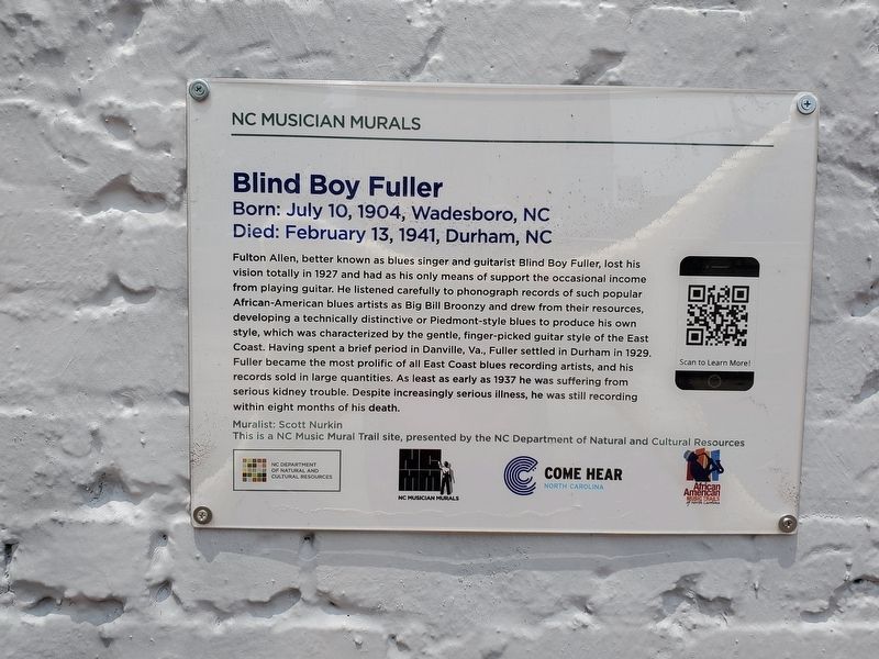
Blind Boy Fuller
Born: July 10, 1904, Wadesboro, NC Died: February 13, 1941, Durham, NC
| — | NC Musicians Mural Trail | — |
Photographed by Mark Parker, June 7, 2023
1. Blind Boy Fuller Marker
Fulton Allen, better known as blues singer and guitarist Blind Boy Fuller, lost his vision totally in 1927 and had as his only means of support the occasional income from playing guitar. He listened carefully to phonograph records of such popular African-American blues artists as Big Bill Broonzy and drew from their resources, developing a technically distinctive or Piedmont-style blues to produce his own style, which was characterized by the gentle, finger-picked guitar style of the East Coast. Having spent a brief period in Danville, Va., Fuller settled in Durham in 1929. Fuller became the most prolific of all East Coast blues recording artists, and his records sold in large quantities. As least as early as 1937 he was suffering from serious kidney trouble. Despite increasingly serious illness, he was still recording within eight months of his death.
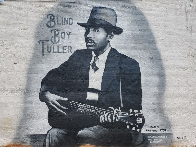
Muralist: Scott Nurkin
Erected 2022 by NC Department of Natural and Cultural Resources.
Topics. This historical marker is listed in these topic lists: African Americans • Arts, Letters, Music • Entertainment. A significant historical date for this entry is July 10, 1904.
Location. 34° 58.004′ N,
this page online

Regionally, this marker is in North Carolina’s Piedmont. It is also in the American South and specifically in the Upper South. Globally, it is in North America, the Western Hemisphere, the Western World, and the Anglosphere. Historically, it finds itself in what was once the territory of the Mississippian Culture, one of the original Thirteen Colonies, one of the Confederate States of America, and the Antebellum South.
Other nearby markers. At least 8 other markers are within 2 miles of this marker, measured as the crow flies: 1900 Total Solar Eclipse (within shouting distance of this marker); The Women of the Confederacy
Photographed by Mark Parker, June 7, 2023
2. Blind Boy Fuller Mural
Photographed by Mark Parker, June 7, 2023
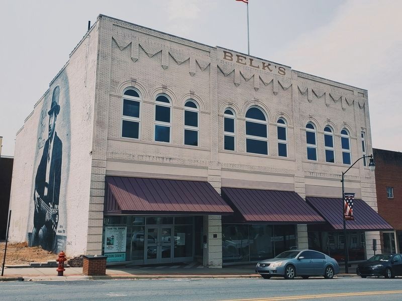
3. Belk's Building with Fuller Mural on the left
Credits. This page was last revised on April 8, 2024. It was originally submitted on April 8, 2024, by Mark Parker of Hickory, North Carolina. This page has been viewed 404 times since then and 47 times this year. Photos: 1, 2, 3. submitted on April 8, 2024, by Mark Parker of Hickory, North Carolina. • Devry Becker Jones was the editor who published this page.
