Palmer in Ellis County, Texas — The American South (West South Central)
Harkey-Payne House
Photographed by Craig Baker, April 6, 2024
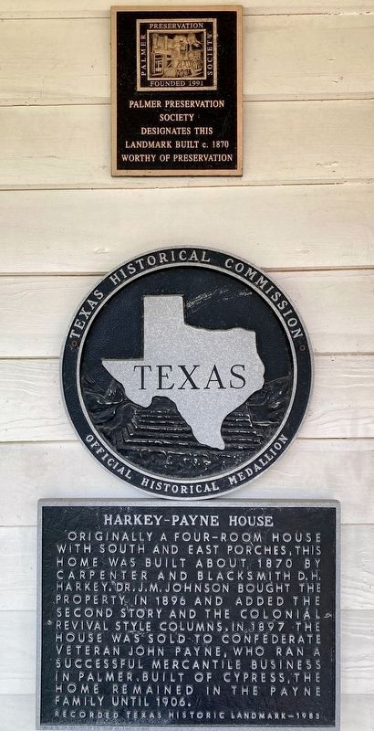
1. Harkey-Payne House Markers
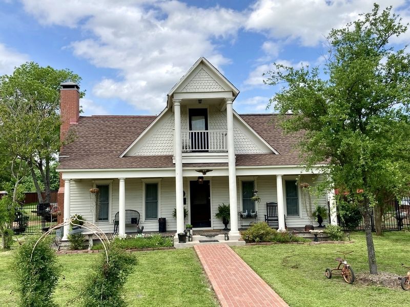
Originally a four-room house with south and east porches, this home was built about 1870 by carpenter and blacksmith D.H. Harkey. Dr. J.M. Johnson bought the property in 1896 and added the second story and the colonial revival style columns. In 1897 the house was sold to Confederate veteran John Payne, who ran a successful mercantile business in Palmer. Built of cypress, the home remained in the Payne family until 1906.
Recorded Texas Historic Landmark - 1983
Palmer Preservation Society designates this landmark built c. 1870 worthy of preservation.
Erected 1983 by Texas Historical Commission; and Palmer Preservation Society. (Marker Number 7110.)
Topics. This historical marker is listed in these topic lists: Architecture • Settlements & Settlers. A significant historical year for this entry is 1991.
Location. 32° 25.829′ N, 96° 40.322′ W. Marker is in Palmer, Texas, in Ellis County. It is on Jefferson Street 0.2 miles west of Sherman Street, on the right when traveling west. Touch for map. Marker is at or near this postal address: 216 W Jefferson St, Palmer TX 75152, United States of America. Touch for directions.

Regionally, this marker is in the Prairies & Lakes Region and in the Dallas-Fort Worth Metropolitan Area. Globally, it is in North America, a Gulf of Mexico state, the Western Hemisphere, the Western World, and the Anglosphere. Historically, it finds itself in what was once New Spain, the Republic of Texas, and one of the Confederate States of America.
Other nearby markers. At least 8 other markers are within 7 miles of this marker, measured as the crow flies: First Baptist Church of Palmer (approx. 0.2 miles away); First Christian Church of Palmer (approx. 0.3 miles away); Site of Grady School (approx. 3.3 miles away); Smith Cemetery (approx. 4 miles away); Rutherford's Crossing Bridge
this page online
Photographed by Craig Baker, April 6, 2024
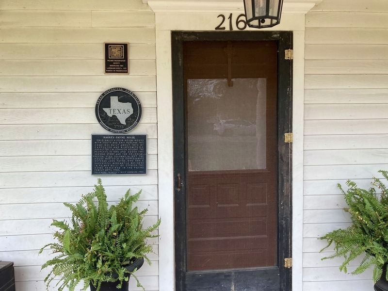
2. Harkey-Payne House Markers
Photographed by Craig Baker, April 6, 2024
3. Harkey-Payne House
Credits. This page was last revised on September 5, 2026. It was originally submitted on April 9, 2024, by Craig Baker of Sylmar, California. This page has been viewed 332 times since then and 87 times this year. Last updated on September 4, 2026, by Jeff Leichsenring of Garland, Texas. Photos: 1, 2, 3. submitted on April 9, 2024, by Craig Baker of Sylmar, California. • Devry Becker Jones was the editor who published this page.
