Bristol in Ellis County, Texas — The American South (West South Central)
Bristol School
Photographed by Craig Baker, April 6, 2024
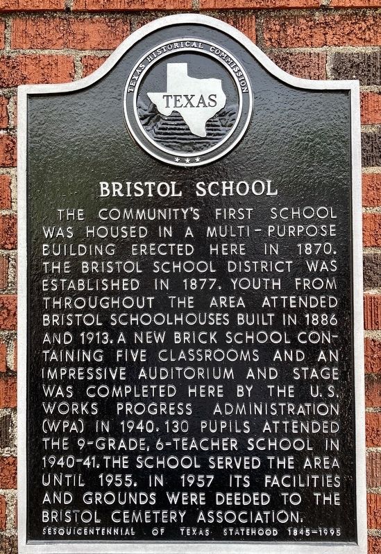
1. Bristol School Marker
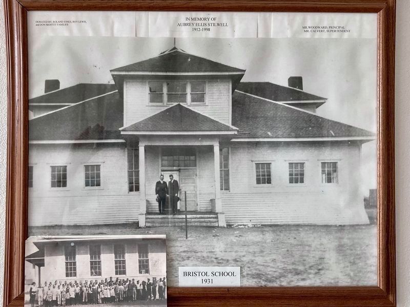
The community's first school was housed in a multi-purpose building erected here in 1870. The Bristol School District was established in 1877. Youth from throughout the area attended Bristol schoolhouses built in 1886 and 1913. A new brick school containing five classrooms and an impressive auditorium and stage was completed here by the U.S. Works Progress Administration (WPA) in 1940. 130 pupils attended the 9-grade, 6-teacher school in 1940-41. The school served the area until 1955. In 1957 its facilities and grounds were deeded to the Bristol Cemetery Association.
Sesquicentennial of Texas Statehood 1845-1995
Erected 1995 by Texas Historical Commission. (Marker Number 7987.)
Topics and series. This historical marker is listed in these topic lists: Architecture • Education. In addition, it is included in the Works Progress Administration (WPA) projects series list. A significant historical year for this entry is 1870.
Location. 32° 27.568′ N, 96° 34.088′ W. Marker is in Bristol, Texas, in Ellis County. It is at the intersection of Church Street and Union Hill Road, on the right when traveling north on Church Street. Touch for map. Marker is at or near this postal address: 100 Church St, Ennis TX 75119, United States of America. Touch for directions.

Regionally, this marker is in the Prairies & Lakes Region and in the Dallas-Fort Worth Metropolitan Area. Globally, it is in North America, a Gulf of Mexico state, the Western Hemisphere, the Western World, and the Anglosphere. Historically, it finds itself in what was once New Spain, the Republic of Texas, and one of the Confederate States of America.
Other nearby markers. At least 8 other markers are within 8 miles of this marker, measured as the crow flies: Bristol Cemetery (about 700 feet away, measured in a direct line); First Christian Church of Palmer
this page online
Photographed by Craig Baker
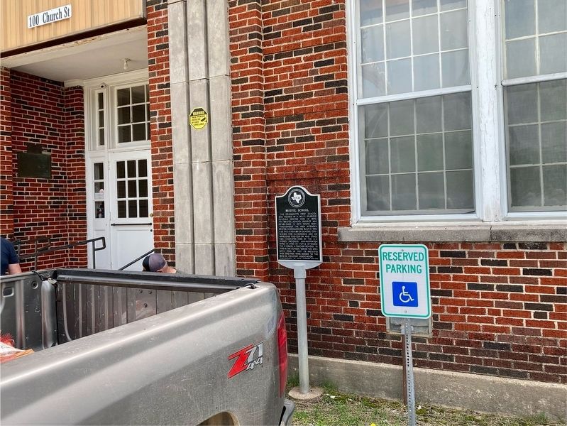
2. Bristol School Marker
Photographed by Craig Baker, April 6, 2024
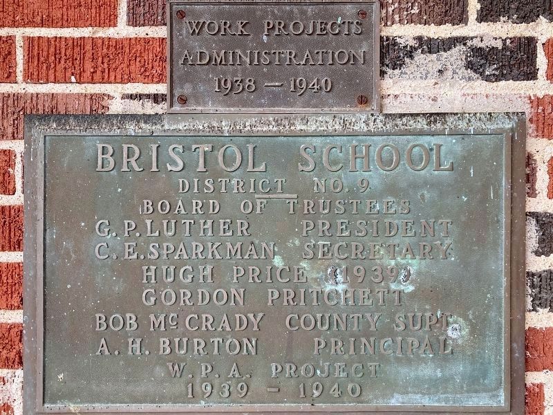
3. WPA Project Markers - 1940
Photographed by Craig Baker, April 6, 2024
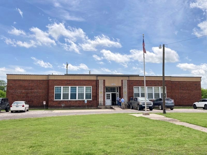
4. Bristol School
Now a community center / event venue.
Photographed by Craig Baker, April 6, 2024
5. Bristol School - 1931
This photo is on display inside the building.
Photographed by Craig Baker, April 6, 2024
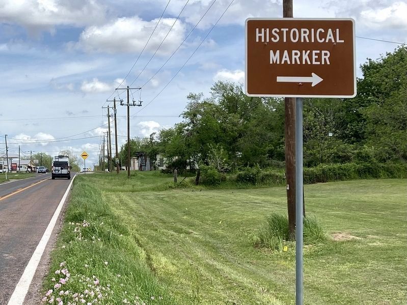
6. Street Sign on Highway 660
Photographed by Craig Baker, April 6, 2024
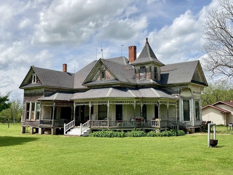
7. Historic Home
Located near the school, built in 1919.
Credits. This page was last revised on September 5, 2026. It was originally submitted on April 9, 2024, by Craig Baker of Sylmar, California. This page has been viewed 612 times since then and 113 times this year. Last updated on September 1, 2026, by Jeff Leichsenring of Garland, Texas. Photos: 1, 2, 3, 4, 5, 6, 7. submitted on April 9, 2024, by Craig Baker of Sylmar, California. • Devry Becker Jones was the editor who published this page.
