Snow in Clinton County, Kentucky — The American South (East South Central)
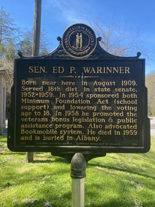
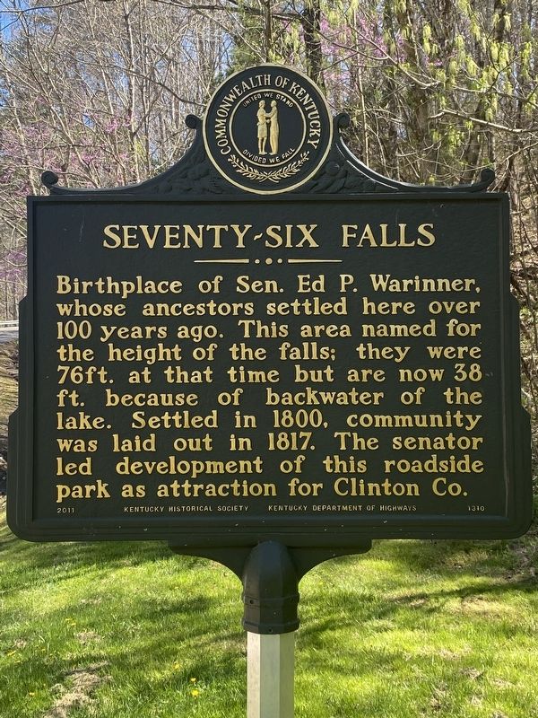
Sen. Ed P. Warinner / Seventy-Six Falls
Inscription.
Side 1:
Born near here in August 1909. Served 16th dist. in state senate, 1952-1959. In 1954 sponsored both Minimum Foundation Act (school support) and lowering the voting age to 18. In 1958 he promoted the veterans bonus legislation & public assistance program. Also advocated Bookmobile system. He died in 1959 and is buried in Albany.
Side 2:
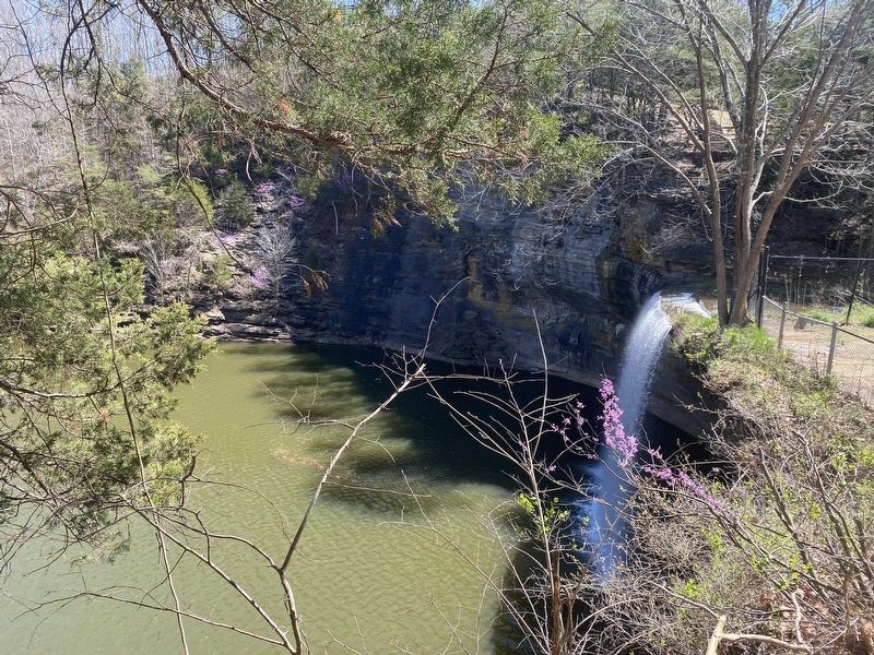
Birthplace of Sen. Ed P. Warinner, whose ancestors settled here over 100 years ago. This area named for the height of the falls; they were 76ft. at that time but are now 38 ft. because of backwater of the lake. Settled in 1800, community was laid out in 1817. The senator led development of this roadside park as attraction for Clinton Co.
Erected 2011 by Kentucky Historical Society, Kentucky Department of Highways. (Marker Number 1310.)
Topics. This historical marker is listed in this topic list: Parks & Recreational Areas.
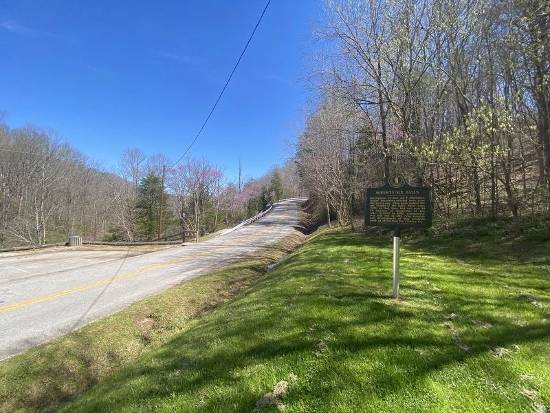
Location. 36° 46.693′ N, 85° 7.582′ W. Marker is in Snow, Kentucky, in Clinton County. Marker is on Seventy Six Falls Road (State Road 1062) west of Morris Thomas Road, on the right when traveling north. Touch for map. Marker is at or near this postal address: 1751 Seventy Six Fls Rd, Albany KY 42602, United States of America. Touch for directions.
Other nearby markers. At least 8 other markers are within 12 miles of this marker , measured as the crow flies. Bible Mission School / Bible Mission School and Orphanage (approx. 5.4 miles away); Civil War Terrorist (approx. 6.1 miles away); County Named, 1835 (approx. 6.1 miles away); Pioneer Settler (approx. 6.1 miles away); Courthouse Burned (approx. 6.1 miles away); Clear Fork Baptist Church (approx. 7.1 miles away); Creelsboro (approx. 8.4 miles away); The Burning of Hale's Mill (approx. 12 miles away in Tennessee).
Credits. This page was last revised on April 24, 2024. It was originally submitted on April 9, 2024, by Darren Jefferson Clay of Duluth, Georgia. This page has been viewed 32 times since then. Photos: 1, 2, 3, 4. submitted on April 22, 2024, by Darren Jefferson Clay of Duluth, Georgia. • James Hulse was the editor who published this page.


