
Lewes in Sussex County, Delaware — The American Northeast (Mid-Atlantic)
The Fort Miles Connection
Photographed by Pete Skillman, April 10, 2024
1. The Fort Miles Connection Marker
An Essential Defense
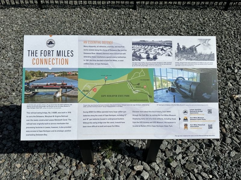
Many shipyards, oil refineries, arsenals, and machine works existed along the shores of Delaware Bay and the Delaware River. Military planners were concerned with defending these installations against enemy battleships. In 1941 the Army decided to build Fort Miles, a coast artillery base, at Cape Henlopen.
During WWII Fort Miles operated many large caliber gun batteries along the coast of Cape Henlopen, including 12" and 16" gun batteries housed in underground bunkers. Without this swing bridge over the canal, it would have been more difficult to build and equip Fort Miles.
Discover more about this local history, from WWII through the Cold War, by visiting the Fort Miles Museum. Displaying many one-of-a-kind artifacts, including those from
this page online
[Captions]:
The 52nd Coast Artillery was set up at Camp Henlopen in 1938, renamed Fort Miles in 1941. Much of the equipment used at the fort was delivered by rail over this swing bridge. Courtesy of the United States Army
Initially, railroad tracks were extended to Fort Miles to set up 8" railcar-mounted artillery guns (indicated on the map below), which remained until 1944. Courtesy of the United States Army
In 2012 this train carried a 116 ton, 16" gun barrel from the WWII battleship USS Missouri across the swing bridge. See this gun at the Fort Miles Museum in Cape Henlopen State Park. Courtesy of Ron MacArthur of the Cape Gazette
Present day map showing the former Delaware, Maryland & Virginia Railroad tracks into Cape Henlopen, added during WWII, and their terminus at the 8" rail gun emplacements in Fort Miles.
12" naval gun on display at the Fort Miles Museum. Courtesy of the Lewes Junction Railroad & Bridge Association
Erected by Lewes Junction Railroad and Bridge Association.
Topics. This historical marker
Photographed by Pete Skillman, April 10, 2024
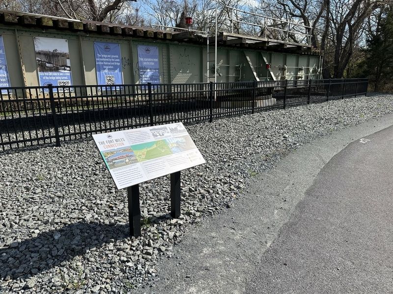
2. The Fort Miles Connection Marker wide view
Location. 38° 46.614′ N, 75° 7.794′ W. Marker is in Lewes, Delaware, in Sussex County. It can be reached from American Legion Road. Touch for map. Marker is at or near this postal address: 124 American Legion Rd, Lewes DE 19958, United States of America. Touch for directions.

Regionally, this marker is on Delaware’s Beaches. It is also in the American Mid-Atlantic, on the Delmarva Peninsula, and on the Eastern Seaboard. Globally, it is in the North Atlantic Region, North America, the Western Hemisphere, the Western World, and the Anglosphere. Historically, it finds itself in what was once New Netherland, one of the original Thirteen Colonies, and the Antebellum South.
Other nearby markers. At least 8 other markers are within walking distance of this marker: The Historic Lewes Canal Railroad Swing Bridge (here, next to this marker); Lewes Station (here, next to this marker); Lewes Railroad Swing Bridge (a few steps from this marker); Middle East Veterans Memorial
Photographed by Pete Skillman, April 10, 2024
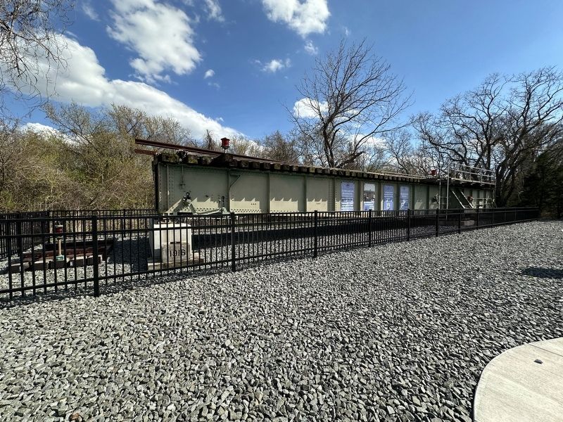
3. Wide view of the swing bridge
Also see . . .
1. Lewes Junction Railroad & Bridge Association. (Submitted on April 10, 2024, by Pete Skillman of Wilmington, Delaware.)
2. Fort Miles Museum - Delaware State Parks. (Submitted on April 10, 2024, by Pete Skillman of Wilmington, Delaware.)
3. Fort Miles Historical Association. (Submitted on April 10, 2024, by Pete Skillman of Wilmington, Delaware.)
Credits. This page was last revised on April 11, 2024. It was originally submitted on April 10, 2024, by Pete Skillman of Wilmington, Delaware. This page has been viewed 196 times since then and 12 times this year. Photos: 1, 2, 3. submitted on April 10, 2024, by Pete Skillman of Wilmington, Delaware. • Bill Pfingsten was the editor who published this page.
