
Lewes in Sussex County, Delaware — The American Northeast (Mid-Atlantic)
Lewes Railroad Swing Bridge
An Engineering Marvel
Photographed by Pete Skillman, April 10, 2024
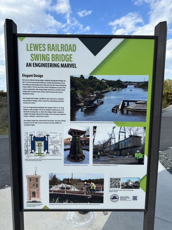
1. Lewes Railroad Swing Bridge Marker
The Lewes railroad swing bridge, originally designated Bridge No. 38.71 by the Pennsylvania Railroad, carried the Delaware Coast Line Railroad and predecessor railroads over the Lewes-Rehoboth Canal. Built in 1916 by the Army Corps of Engineers as part of the canal construction, this swing bridge replaced a wooden trestle bridge that crossed Lewes Creek, which became the Lewes-Rehoboth Canal.
The bridge itself weighs 162,000 lbs. (81 tons) and is a Bobtail/Asymmetrical design, which means the supporting pedestal is located off center.
From an engineering standpoint, the design of the 91'-3" long bridge is quite elegant. The 81 ton bridge is balanced on a 12" diameter bearing disc on which the bridge rotates. Despite its weight, this design allowed the bridge to be manually rotated by merely "walking" a steel bar in circles.
The bridge design has endured the test of time. The only change required over its 100+ years of service was the addition of navigation lights.
Erected by Lewes Junction Railroad and Bridge Association.
Topics. This historical marker is listed in these topic lists:
this page online
Location. 38° 46.617′ N, 75° 7.791′ W. Marker is in Lewes, Delaware, in Sussex County. It can be reached from American Legion Road. Touch for map. Marker is at or near this postal address: 124 American Legion Rd, Lewes DE 19958, United States of America. Touch for directions.

Regionally, this marker is on Delaware’s Beaches. It is also in the American Mid-Atlantic, on the Delmarva Peninsula, and on the Eastern Seaboard. Globally, it is in the North Atlantic Region, North America, the Western Hemisphere, the Western World, and the Anglosphere. Historically, it finds itself in what was once New Netherland, one of the original Thirteen Colonies, and the Antebellum South.
Other nearby markers. At least 8 other markers are within walking distance of this marker: Lewes Station (here, next to this marker); The Fort Miles Connection (a few steps from this marker); The Historic Lewes Canal Railroad Swing Bridge (a few steps from this marker); Middle East Veterans Memorial (approx. 0.2 miles away); Mayor Otis Smith (approx. 0.3 miles
Photographed by Pete Skillman, April 10, 2024
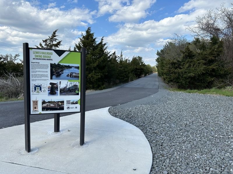
2. Lewes Railroad Swing Bridge Marker wide view
Also see . . . Video of the Swing Bridge Rotation in Action. (Submitted on April 10, 2024, by Pete Skillman of Wilmington, Delaware.)
Photographed by Pete Skillman, April 10, 2024
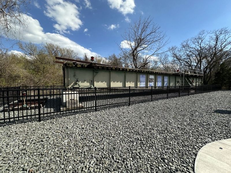
3. Wide view of the swing bridge
Credits. This page was last revised on June 22, 2024. It was originally submitted on April 10, 2024, by Pete Skillman of Wilmington, Delaware. This page has been viewed 643 times since then and 25 times this year. Photos: 1, 2, 3. submitted on April 10, 2024, by Pete Skillman of Wilmington, Delaware. • Bill Pfingsten was the editor who published this page.
