Newcastle in Clarington in Durham Region, Ontario — Central Canada (North America)
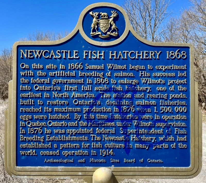
Newcastle Fish Hatchery 1868
Photographed by Tim Boyd, April 7, 2024
1. Newcastle Fish Hatchery 1868 Marker
Archaeological and Historic Sites Board of Ontario.
Erected by Archaeological and Historic Sites Board of Ontario.
Topics and series. This historical marker is listed in these topic lists: Agriculture • Animals • Industry & Commerce. In addition, it is included in the Canada, Ontario Heritage Trust series list. A significant historical year for this entry is 1868.
Location. 43° 54.777′ N, 78° 36.51′ W.
this page online

Regionally, this marker is in Greater Toronto, specifically on the Golden Horseshoe, in the York, Durham and Headwaters Area, and in the Toronto Metropolitan Area. It is also in Central Canada. Globally, it is in North America, on the Great Lakes, in the Western Hemisphere, in the Western World, and in the Anglosphere. Historically, it finds itself in what was once a British colony, the Viceroyalty of New France, the Haudenosaunee (Iroquois) Confederacy, and Rupert’s Land.
Other nearby markers. At least 8 other markers are within 6 kilometers of this marker, measured as the crow flies: Newcastle Cenotaph (approx. 1.6 kilometers away); Bishop Charles Henry Brent 1862-1929 (approx. 1.7 kilometers away); The Masseys at Newcastle / Les Massey à Newcastle (approx. 1.8 kilometers away); Joseph E. Atkinson 1865-1948
Photographed by Tim Boyd, April 7, 2024
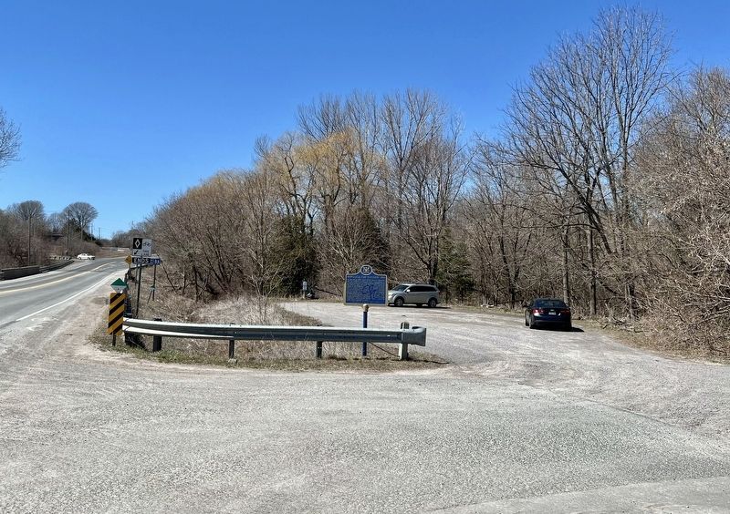
2. Newcastle Fish Hatchery 1868 Marker
Also see . . . Samuel Wilmot Fish Hatchery Newcastle.
As his farm was on Wilmot Creek, a noted spawning stream for Lake Ontario Salmon, in the 1850’s he noted that the runs of salmon in the creek and other salmon streams on Lake Ontario had greatly depleted as a result of overfishing and changes in the environment. Wilmot became interested in the possibility of restocking the stream by means of artificial propagation. In the mid 1860’s, he built an experimental hatchery in his basement at ‘Belmont’ and with a large trough and spring water piped in to simulate actual stream conditions. With eggs procured from a local gravel spawning area he was ready for the test. Some of the eggs hatched.(Submitted on April 11, 2024, by Tim Boyd of Hamilton, Ontario.)
1878
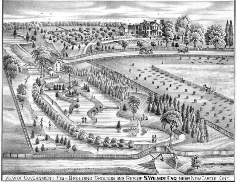
3. Newcastle Fish Hatchery and Farm of Samuel Wilmot, 1878
From the Historical Atlas of Northumberland and Durham
Photographed by Tim Boyd, April 7, 2024
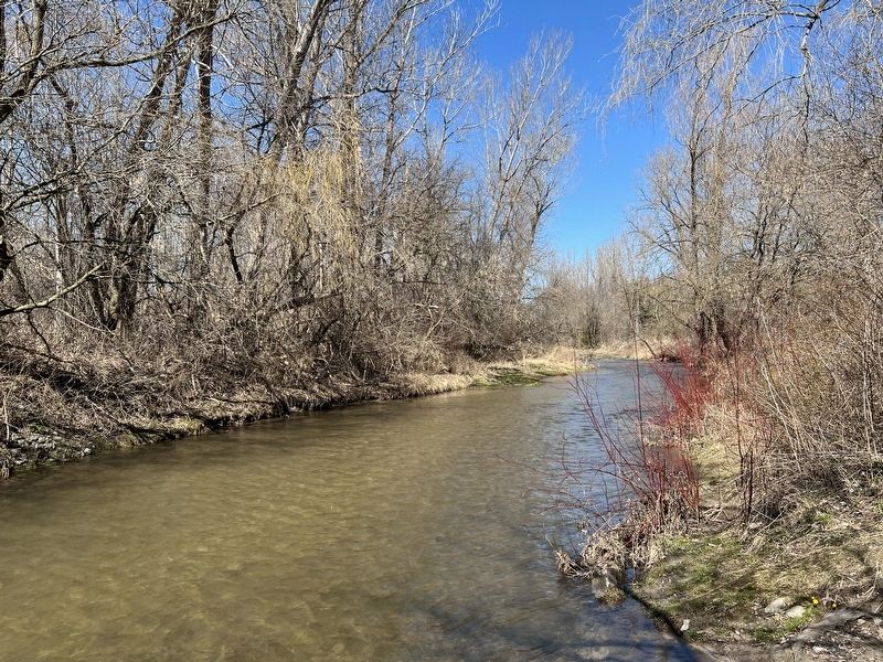
4. Wilmot Creek, 2024, near the site of the fish hatchery
Credits. This page was last revised on April 14, 2024. It was originally submitted on April 11, 2024, by Tim Boyd of Hamilton, Ontario. This page has been viewed 357 times since then and 35 times this year. Photos: 1, 2, 3, 4. submitted on April 11, 2024, by Tim Boyd of Hamilton, Ontario. • Andrew Ruppenstein was the editor who published this page.
