Sioux Falls in Minnehaha County, South Dakota — The American Midwest (Upper Plains)
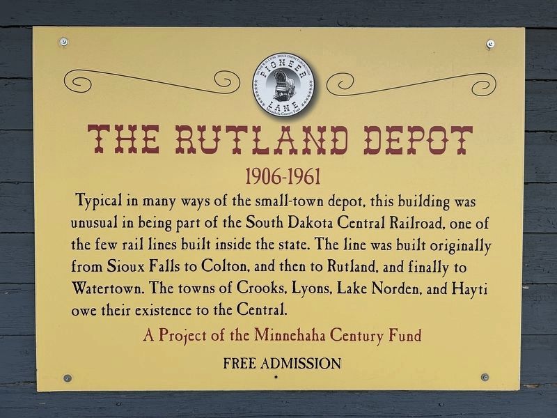
The Rutland Depot
1906-1961
| — | Pioneer Lane | — |
April 11, 2024
1. The Rutland Depot Marker
Erected by the Minnehaha Century Fund.
Topics. This historical marker is listed in this topic list: Railroads & Streetcars. A significant historical year for this entry is 1906.
Location. 43° 33.336′ N, 96° 46.398′ W. Marker is in Sioux Falls, South Dakota, in Minnehaha County. It can be reached from Lyon Boulevard north of West 9th Street. Located along Pioneer Lane on the W.H. Lyon Sioux Empire Fairgrounds. Touch for map. Marker is at or near this postal address: 100 N Lyon Blvd, Sioux Falls SD 57107, United States of America. Touch for directions.

Regionally, this marker is in East River. It is also in the American Midwest, in the Lewis & Clark Corridor, in the Corn Belt, on the prairies, and on the Northern Plains. Globally, it is in North
this page online
Other nearby markers. At least 8 other markers are within walking distance of this marker: The Church of the Good Samaritan (a few steps from this marker); Nyberg's Ace Bandstand (within shouting distance of this marker); Grinde School (within shouting distance of this marker); Fersdahl Log Cabin (within shouting distance of this marker); All City Elementary (approx. ¾ mile away); West Sioux Falls (approx. ¾ mile away); The Town Pump (approx. 0.8 miles away); a different marker also named West Sioux Falls (approx. 0.8 miles away). Touch for a list and map of all markers in Sioux Falls.
April 11, 2024
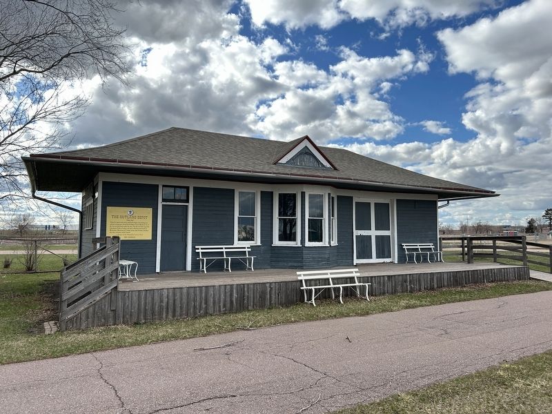
2. The Rutland Depot & Marker
April 11, 2024
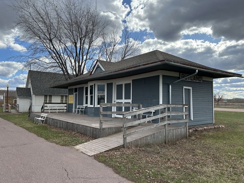
3. The Rutland Depot
Credits. This page was last revised on April 13, 2024. It was originally submitted on April 12, 2024. This page has been viewed 228 times since then and 31 times this year. Photos: 1, 2, 3. submitted on April 12, 2024.
