Matamoras in Pike County, Pennsylvania — The American Northeast (Mid-Atlantic)
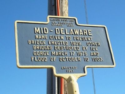
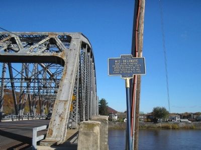
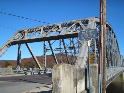
Mid-Delaware
Erected 1967 by Legion Post 486, Mt. Prospect Grange 1995.
Topics. This historical marker is listed in this topic list: Bridges & Viaducts. A significant historical date for this entry is March 17, 1856.
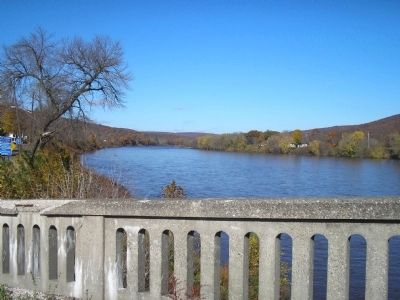
Location. 41° 22.257′ N, 74° 41.869′ W. Marker is in Matamoras, Pennsylvania, in Pike County. Marker is at the intersection of Pennsylvania Avenue (U.S. 209) and Delaware Drive, on the right when traveling north on Pennsylvania Avenue. The marker stands on the Pennsylvania Side of the bridge over the Delaware River. Touch for map. Marker is in this post office area: Matamoras PA 18336, United States of America. Touch for directions.
Other nearby markers. At least 8 other markers are within walking distance of this marker. Delaware River (a few steps from this marker); Toll House (about 700 feet away, measured in a direct line in New York); Old Stone Fort (approx. ¼ mile away); The Erie Depot (approx. 0.3 miles away in New York); Port Jervis (approx. 0.4 miles away in New York); Banach Olympic Circle (approx. 0.4 miles away in New York); Erie Turntable (approx. 0.4 miles away in New York); Port Jervis Fire Department (approx. 0.4 miles away in New York). Touch for a list and map of all markers in Matamoras.
Credits. This page was last revised on October 27, 2021. It was originally submitted on November 13, 2009, by Bill Coughlin of Woodland Park, New Jersey. This page has been viewed 680 times since then and 9 times this year. Photos: 1, 2, 3, 4. submitted on November 13, 2009, by Bill Coughlin of Woodland Park, New Jersey.


