Near White Stone in Lancaster County, Virginia — The American South (Mid-Atlantic)
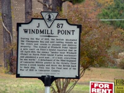
Windmill Point
Erected 1998 by Department of Historic Resources. (Marker Number J-87.)
Topics and series. This historical marker is listed in this topic list: War of 1812. In addition, it is included in the Virginia Department of Historic Resources (DHR) series list. A significant historical date for this entry is April 23, 1814.
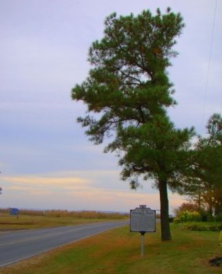
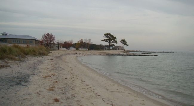
Location. 37° 37.008′ N, 76° 17.592′ W. Marker is near White Stone, Virginia, in Lancaster County. Marker is on Windmill Point Road (County Route 695) 7.4 miles east of White Stone (Virginia Route 3), on the right when traveling east. It is at the end of the road at Windmill Point itself. Touch for map. Marker is in this post office area: White Stone VA 22578, United States of America. Touch for directions.
Other nearby markers. At least 8 other markers are within 5 miles of this marker, measured as the crow flies. Henry Fleete and Fleet’s Island (about 300 feet away, measured in a direct line); Stingray Point Lighthouse Replica (approx. 4 miles away); The F.D. Crockett (approx. 4.7 miles away); Captain John Smith’s Shallop (approx. 4.8 miles away); Fish Story (approx. 4.8 miles away); Ruark Sculpture Garden (approx. 4.8 miles away); Oyster Tonging (approx. 4.8 miles away); a different marker also named F.D. Crockett (approx. 4.8 miles away).
Credits. This page was last revised on June 16, 2016. It was originally submitted on November 13, 2009, by J. J. Prats of Powell, Ohio. This page has been viewed 1,466 times since then and 94 times this year. Photos: 1, 2, 3. submitted on November 13, 2009, by J. J. Prats of Powell, Ohio.


