Near Coffeeville in Clarke County, Alabama — The American South (East South Central)
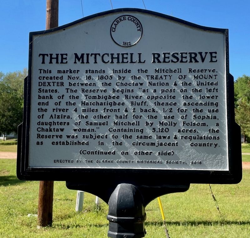
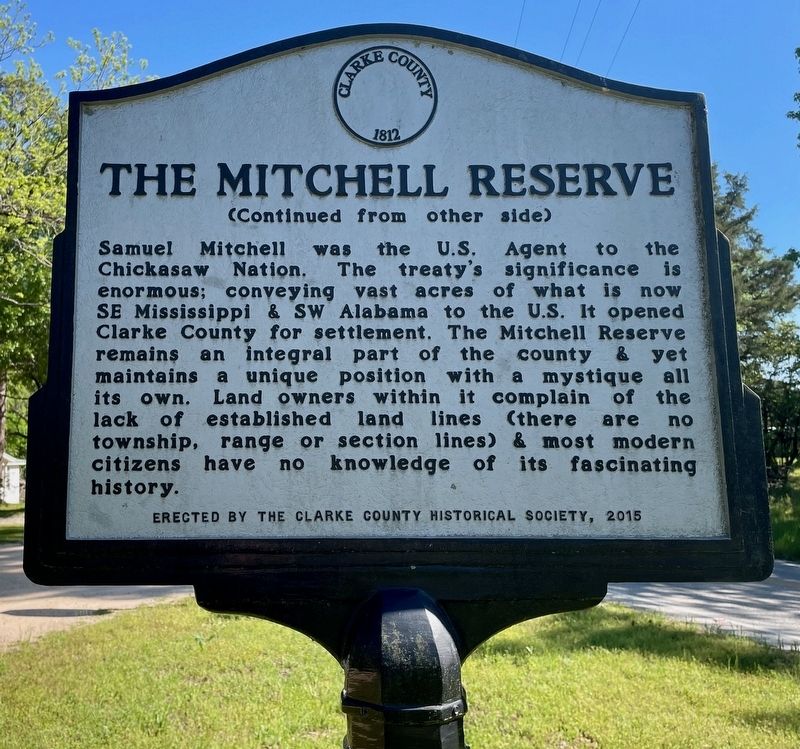
The Mitchell Reserve
Samuel Mitchell was the U.S. Agent to the Chickasaw Nation. The treaty's significance is enormous; conveying vast acres of what is now SE Mississippi & SW Alabama to the U.S. It opened Clarke County for settlement. The Mitchell Reserve remains an integral part of the county & yet maintains a unique position with a mystique all its own. Land owners within it complain of the lack of established land lines (there are no township, range or section lines) & most modern citizens have no knowledge of its fascinating history.
Erected 2015 by Clarke County Historical Society.
Topics. This historical marker is listed in these topic lists: Native Americans • Settlements & Settlers. A significant historical date for this entry is October 16, 1805.
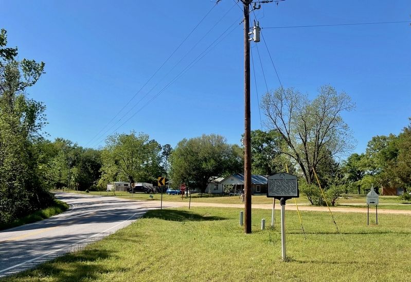
Location. 31° 42.779′ N, 88° 3.394′ W. Marker is near Coffeeville, Alabama, in Clarke County. Marker is at the intersection of Alabama Route 69 and Hodge Road, on the right when traveling north on State Route 69. Touch for map. Marker is at or near this postal address: 18770 AL-69, Coffeeville AL 36524, United States of America. Touch for directions.
Other nearby markers. At least 8 other markers are within 12 miles of this marker, measured as the crow flies. Clarke-Washington Electric Membership Corporation (approx. 3.4 miles away); Ulcanush Baptist Church (approx. 5.2 miles away); West Bend (approx. 8.8 miles away); Fort Landrum Site (approx. 9.1 miles away); Upper Salt Works (approx. 10.4 miles away); Mitcham Beat and the Mitcham War (approx. 10.4 miles away); Clarke County Courthouse Site (approx. 10.6 miles away); Union Methodist Church (approx. 11.2 miles away). Touch for a list and map of all markers in Coffeeville.
Also see . . . Wikipedia article on the Treaty of Mount Dexter. (Submitted on April 13, 2024, by Mark Hilton of Montgomery, Alabama.)
Credits. This page was last revised on April 13, 2024. It was originally submitted on April 13, 2024, by Mark Hilton of Montgomery, Alabama. This page has been viewed 79 times since then. Photos: 1, 2, 3. submitted on April 13, 2024, by Mark Hilton of Montgomery, Alabama.


