Orrville in Dallas County, Alabama — The American South (East South Central)
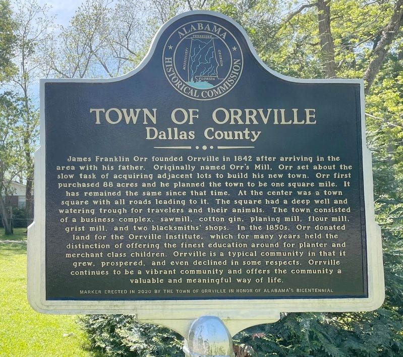
Town of Orrville
Dallas County
James Franklin Orr founded Orrville in 1842 after arriving in the area with his father. Originally named Orr's Mill, Orr set about the slow task of acquiring adjacent lots to build his new town. Orr first purchased 88 acres and he planned the town to be one square mile. It has remained the same since that time. At the center was a town square with all roads leading to it. The square had a deep well and watering trough for travelers and their animals. The town consisted of a business complex, sawmill, cotton gin, planing mill, flour mill, grist mill, and two blacksmiths' shops. In the 1850s, Orr donated land for the Orrville Institute, which for many years held the distinction of offering the finest education around for planter and merchant class children. Orrville is a typical community in that it grew, prospered, and even declined in some respects. Orrville continues to be a vibrant community and offers the community a valuable and meaningful way of life.
Marker erected in 2020 by the Town of Orrville in Honor of Alabama's Bicentennial.
Erected 2020 by the Town Of Orrville.
Topics. This historical marker is listed in this topic list: Settlements & Settlers. A significant historical year for this entry is 1842.
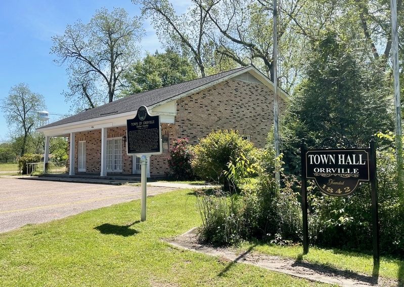
Location. 32° 18.376′ N, 87° 14.939′ W. Marker is in Orrville, Alabama, in Dallas County. Marker is on Main Street (Alabama Route 22) east of Church Street South. Located at Orrville Town Hall. Touch for map. Marker is at or near this postal address: 14761 Main St, Orrville AL 36767, United States of America. Touch for directions.
Other nearby markers. At least 8 other markers are within 9 miles of this marker, measured as the crow flies. Orrville United Methodist Church (approx. 0.2 miles away); The Beloit Industrial Institute (approx. 6˝ miles away); Whitt Cemetery (approx. 6.8 miles away); Lafayette's Tour (approx. 8.2 miles away); Memorials for Prisoners of War (approx. 8.3 miles away); Old Cemetery (approx. 8.3 miles away); Cahaba's "New" Cemetery (approx. 8˝ miles away); New Cemetery (approx. 8˝ miles away). Touch for a list and map of all markers in Orrville.
Also see . . . Encyclopedia of Alabama article on Orrville, Alabama. (Submitted on April 14, 2024, by Mark Hilton of Montgomery, Alabama.)
Credits. This page was last revised on April 14, 2024. It was originally submitted on April 14, 2024, by Mark Hilton of Montgomery, Alabama. This page has been viewed 64 times since then. Photos: 1, 2. submitted on April 14, 2024, by Mark Hilton of Montgomery, Alabama.

