Henryville in Clark County, Indiana — The American Midwest (Great Lakes)
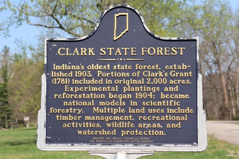
Clark State Forest
Erected 1992 by Indiana Historical Bureau and Henryville Elementary Little Hoosiers.
Topics and series. This historical marker is listed in these topic lists: Horticulture & Forestry • Parks & Recreational Areas. In addition, it is included in the Indiana Historical Bureau Markers series list. A significant historical year for this entry is 1904.
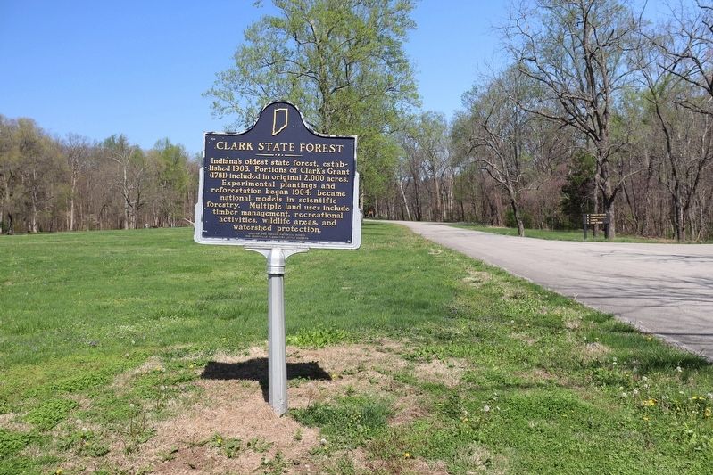
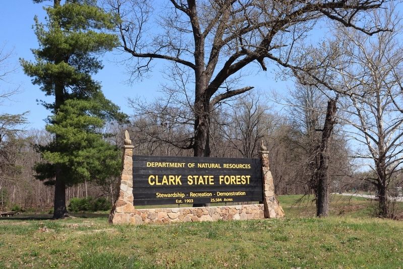
Location. 38° 33.235′ N, 85° 46.106′ W. Marker is in Henryville, Indiana, in Clark County. Marker is on Winding Road, 0.1 miles west of U.S. 31, on the left when traveling west. The marker stands just inside the entrance of the Clark State Forest Park. Touch for map. Marker is in this post office area: Henryville IN 47126, United States of America. Touch for directions.
Other nearby markers. At least 8 other markers are within 7 miles of this marker, measured as the crow flies. Pigeon Roost (approx. 4.3 miles away); a different marker also named Pigeon Roost (approx. 4.4 miles away); Massacre September 3, 1812 (approx. 4.4 miles away); This Burial Site (approx. 4.4 miles away); General Jefferson C. Davis 1828-1879 (approx. 4.9 miles away); "Lightning" Ellsworth Strikes Again (approx. 6.6 miles away); Morgan's Great Raid (approx. 6.6 miles away); Northern Boundary of Clark's Grant (approx. 6.9 miles away).
Credits. This page was last revised on April 15, 2024. It was originally submitted on April 15, 2024, by Trevor L Whited of Kokomo, Indiana. This page has been viewed 49 times since then. Photos: 1, 2, 3. submitted on April 15, 2024, by Trevor L Whited of Kokomo, Indiana. • Devry Becker Jones was the editor who published this page.


