Near Stuyvesant in Columbia County, New York — The American Northeast (Mid-Atlantic)
Natural Ice's Rise and Fall
The Prosperity and Decline of the R. & W. Scott Ice Co. On the Upper Hudson River
Photographed by Steve Stoessel, April 13, 2024
1. Natural Ice's Rise and Fall Marker
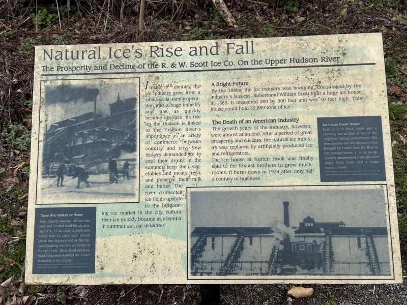
In the 19th century, the ice industry grew from a small-scale family operation, into a huge industry and just, as quickly became obsolete. Its rise on the Hudson is linked to the Hudson River's importance as an artery of commerce between country and city. New Yorkers demanded ice to cool their drinks in the summer, keep their. vegetables and meats fresh, and preserve their milk and butter. The river connected the ice fields upstate to the burgeoning ice market in the city. Natural river ice quickly became as essential in summer as coal in winter.
A Bright Future
By the 1880s, the ice industry was booming, Encouraged by the industry's success, Robert and William Scout built a huge ice house in 1885. It measured 200 by 300 feet and was 40 feet high. This house could hold 52,880 tons of ice.
The Death of an American Industry The growth years of the industry, however, were almost at an end. After a period of great prosperity and success, the natural ice industry was replaced by artificially produced ice and refrigerators. The ice house at Nutten Hook was finally sold to the Knaust brothers to grow mushrooms. It burnt
this page online
[Captions:]
Those Who Walked on Water
Men eagerly awaited the ice harvest and worked hard for an average of $1.75 an hour. A good crew could pole 43 cakes each minute down the channels and up the elevator leading into the ice house at Nutten Hook. These hard working hard living men boosted the winter economy in the region.
Ice House Power House
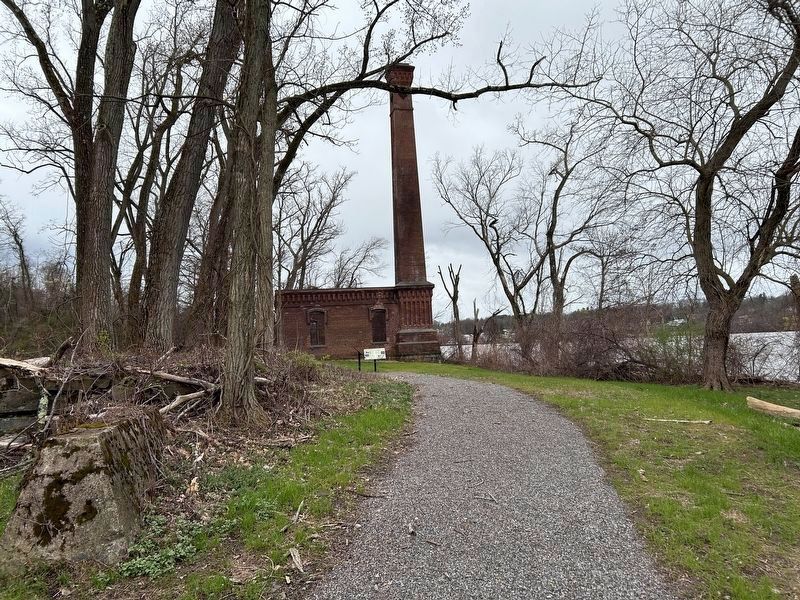
Four exterior brick walls and a chimney are all that is left of the mighty ice house powerhouse. The powerhouse ran the elevators than brought ice sheets from the river to the storage house.It is an exceptionally ornamented structure with fancy brick work and a frame mansard roof.
Topics. This historical marker is listed in this topic list: Industry & Commerce. A significant historical year for this entry is 1885.
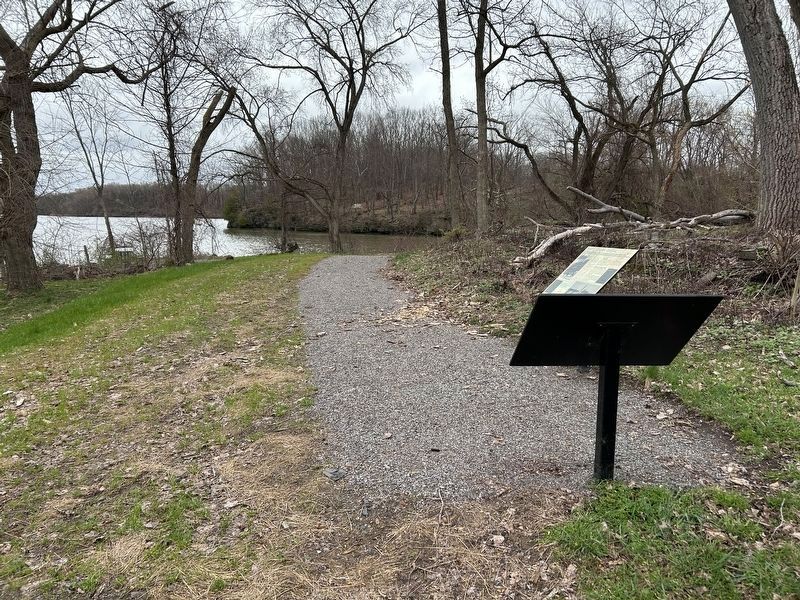
Location. 42° 21.477′ N, 73° 47.331′ W. Marker is near Stuyvesant, New York, in Columbia County. It can be reached from Ice House Road 0.2 miles west of New York State Route 9J. Marker can be reached on foot following the trail from the end of Ice House Road. Touch for map. Marker is in this post office area: Stuyvesant
Photographed by Steve Stoessel, April 13, 2024
2. Natural Ice's Rise and Fall Marker

Regionally, this marker is in Upstate New York and in the Hudson Valley. It is also in the American Northeast and in the Mid-Atlantic. Globally, it is in North America, the Western Hemisphere, the Western World, and the Anglosphere. Historically, it finds itself in what was once New Netherland and also one of the original Thirteen Colonies.
Other nearby markers. At least 8 other markers are within walking distance of this marker: Harvesters of Winter Cold (here, next to this marker); Stockport Flats: The Nutten Hook Unique Area (about 400 feet away, measured in a direct line); Newton Hook (approx. 0.3 miles away); Nutten Hooke (approx. 0.4 miles away); An Ancient Highway (approx. half a mile away); In Memory (approx. half a mile away); Reed’s Landing (approx. half a mile away); Return of the Bald Eagle / Coxsackie State Boat Launch (approx. half a mile away). Touch for a list and map of all markers in Stuyvesant.
Also see . . . Columbia County Historical Society Artifacts of Industry Tour. (Submitted on April 15, 2024, by Steve Stoessel of Niskayuna, New York.)
Photographed by Steve Stoessel, April 13, 2024
3. Natural Ice's Rise and Fall Marker
The Natural Ice marker is the marker parallel to the path. The marker's face isn't seen in this photo. Ice House stack is in the background
Credits. This page was last revised on July 15, 2026. It was originally submitted on April 15, 2024, by Steve Stoessel of Niskayuna, New York. This page has been viewed 671 times since then and 68 times this year. Photos: 1, 2, 3. submitted on April 15, 2024, by Steve Stoessel of Niskayuna, New York.
