Broad Creek Hundred in Blades in Sussex County, Delaware — The American Northeast (Mid-Atlantic)
Blades United Methodist Church
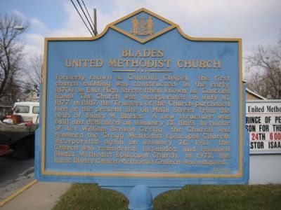
Photographed by F. Robby, December 8, 2007
1. Blades United Methodist Church Marker
Erected 1994 by Delaware State Archives. (Marker Number SC-100.)
Topics and series. This historical marker is listed in this topic list: Religion & Religious Structures. In addition, it is included in the Delaware Public Archives series list. A significant historical month for this entry is January 1756.
Location. 38° 38.034′ N, 75° 36.571′ W. Marker is in Blades, Delaware, in Sussex County. It is in Broad Creek Hundred. It is at the intersection of South Market Street (Business
this page online

Regionally, this marker is in the American Mid-Atlantic, on the Delmarva Peninsula, and on the Eastern Seaboard. Globally, it is in the North Atlantic Region, North America, the Western Hemisphere, the Western World, and the Anglosphere. Historically, it finds itself in what was once New Netherland, one of the original Thirteen Colonies, and the Antebellum South.
Other nearby markers. At least 8 other markers are within walking distance of this marker: Veterans Memorial (approx. 0.2 miles away); Town of Blades (approx. ¼ mile away); Old Seaford Post Office (approx. half a mile away); The Delaware Railroad (approx. half a mile away); Hiram Lodge No. 21 A.F&A.M. (approx. half a mile away); Mount Olivet United Methodist Church (approx. half a mile away); Gateway to Freedom: The Tilly Escape (approx. half a mile away); Seaford Fire Department (approx. 0.6 miles away). Touch for a list and map of all
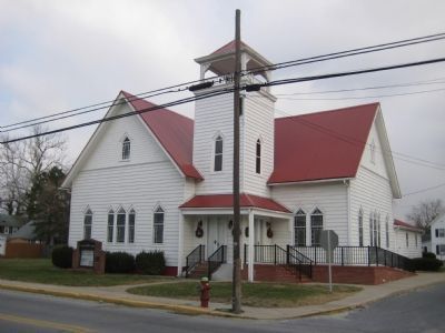
Photographed by F. Robby, December 8, 2007
2. Blades UMC
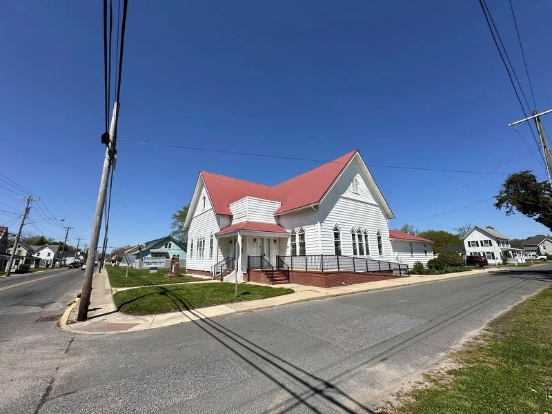
Photographed by Pete Skillman, April 26, 2024
3. Blades United Methodist Church Current View
Credits. This page was last revised on June 5, 2026. It was originally submitted on January 5, 2008, by F. Robby of Baltimore, Maryland. This page has been viewed 1,816 times since then and 51 times this year. Last updated on April 16, 2024, by Pete Skillman of Wilmington, Delaware. Photos: 1, 2. submitted on January 5, 2008, by F. Robby of Baltimore, Maryland. 3. submitted on April 27, 2024, by Pete Skillman of Wilmington, Delaware. • Devry Becker Jones was the editor who published this page.
