South Porcupine in Cochrane District, Ontario — Central Canada (North America)
Tisdale Township Municipal Building
Photographed by Cosmos Mariner, June 3, 2022
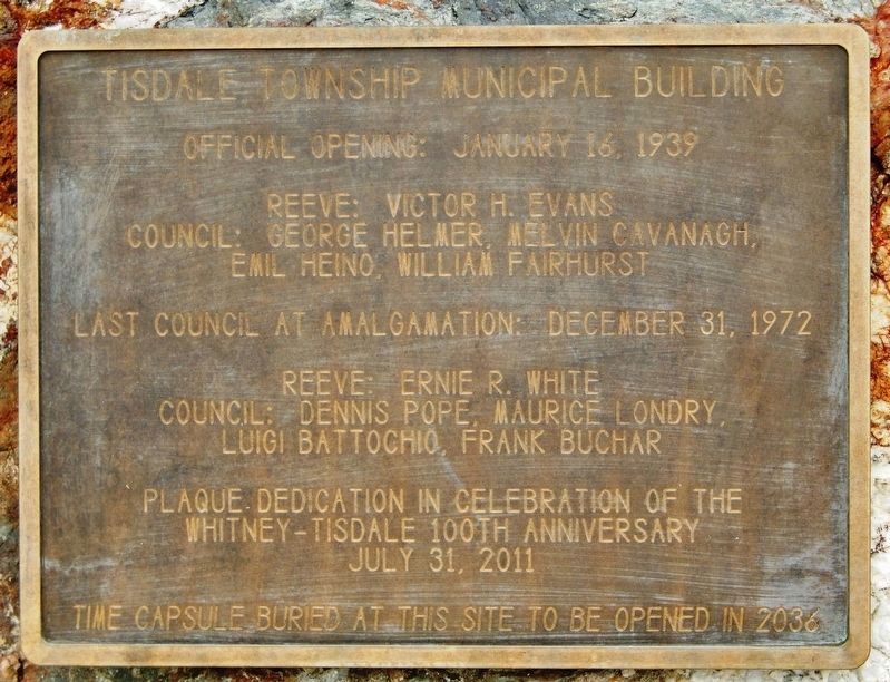
1. Tisdale Township Municipal Building Marker
Reeve: Victor H. Evans
Council: George Helmer, Melvin Cavanagh,
Emil Heino, William Fairhurst
Last council at amalgamation: December 31, 1972
Reeve: Ernie R. White
Council: Dennis Pope, Maurice Londry,
Luigi Battochio, Frank Buchar
Plaque dedication in celebration of the
Whitney-Tisdale 100th Anniversary
July 31, 2011
Time capsule buried at this site to be opened in 2036
Erected 2011.
Topics and series. This historical marker is listed in these topic lists: Architecture • Settlements & Settlers. In addition, it is included in the Time Capsules series list. A significant historical date for this entry is July 31, 1911.
Location. 48° 28.728′ N, 81° 12.619′ W. Marker is in South Porcupine, Ontario, in Cochrane District. It is at the intersection of Bloor Avenue and Main Street, on the right when traveling west on Bloor Avenue. Marker is located near the southwest corner of the former Tisdale Municipal Office Building grounds. Touch for map. Marker is at or near this postal address: 71 Main Street, South Porcupine ON P0N 1H0, Canada. Touch for directions.

Regionally, this marker is in Northeastern
this page online
Other nearby markers. At least 8 other markers are within 11 kilometers of this marker, measured as the crow flies: The Gold Seekers / Les chercheurs d'or (here, next to this marker); The Porcupine Fire / L'incendie de Porcupine (approx. half a kilometer away); Porcupine Mining Area / Région minière de Porcupine (approx. 3.3 kilometers away); Ore From the Kidd Creek Mine (approx. 6.5 kilometers away); "The Big Three" / Les trois principales mines (approx. 8.1 kilometers away); Gold Mining in Canada / Production de l'or au Canada (approx. 8.6 kilometers away); Shania Twain (approx. 8.6 kilometers away); The Porcupine Gold Rush / La Ruée vers l'or de Porcupine (approx. 9.9 kilometers away). Touch for a list and map of all markers in South Porcupine.
Also see . . .
1. Tisdale Municipal Building (1940).
Photographed by Cosmos Mariner, June 3, 2022
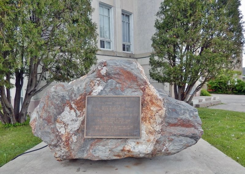
2. Tisdale Township Municipal Building Marker
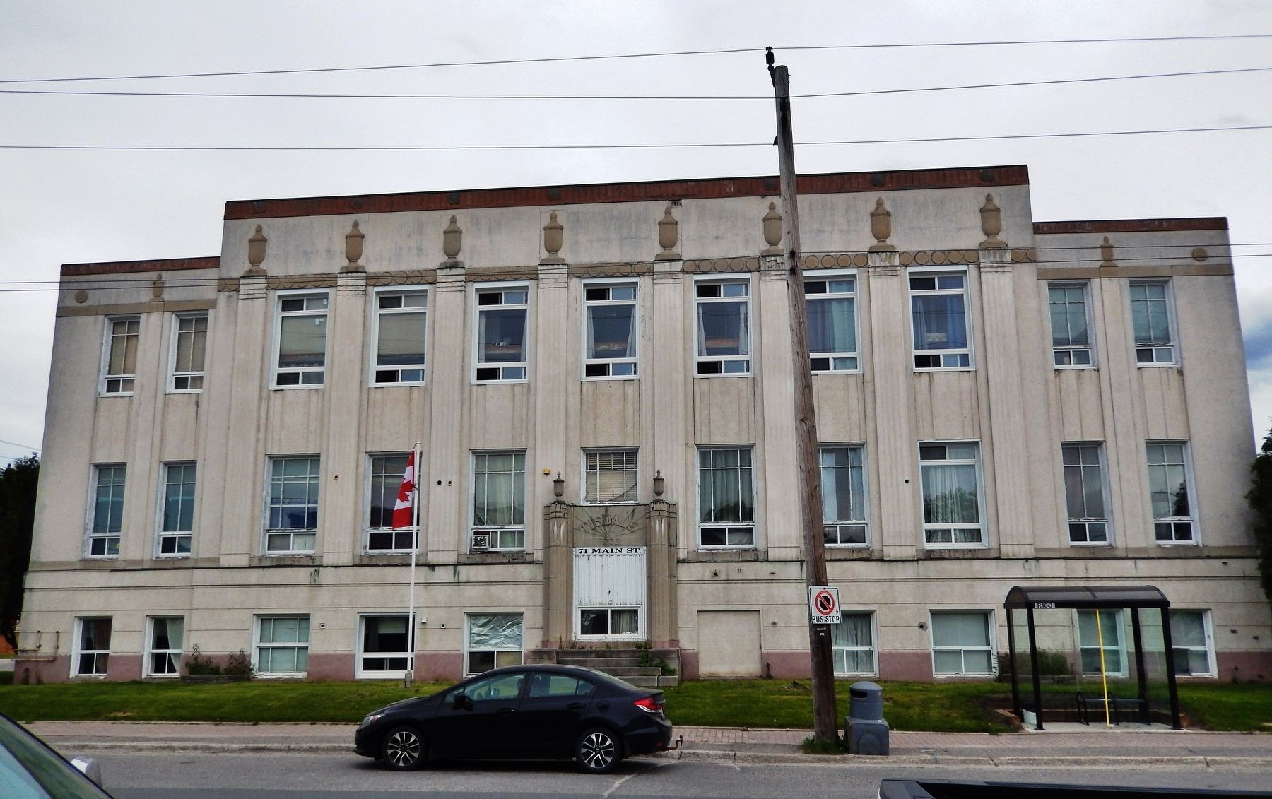
In 1939, Tisdale Council retained the services of architect David Randall Franklin to design the municipal building, bringing together and giving space to all needed functions. A testament to one-stop shopping, it contained the expected administrative offices (assessment, water works, engineering, health unit), the police department, jail cells, municipal court, council chambers, and on the third floor, a public library. It is likely that Franklin was selected because he had already spent time in the area during the 1930s. In 1936, he was hired to design Queen Elizabeth (Birch Street) Public School in Timmins and in 1937, Tisdale retained him to design the Porcupine General Hospital (now the Spruce Hill Lodge).(Submitted on April 17, 2024, by Cosmos Mariner of Cape Canaveral, Florida.)
2. Neighbourhoods in Timmins (Wikipedia). Excerpt:
The Township of Tisdale, which later included the townsite of Schumacher (established in 1911) and the town of South Porcupine, was incorporated in 1909. The Township was later amalgamated and became part of Timmins.(Submitted on April 17, 2024, by Cosmos Mariner of Cape Canaveral, Florida.)
Photographed by Cosmos Mariner, June 3, 2022
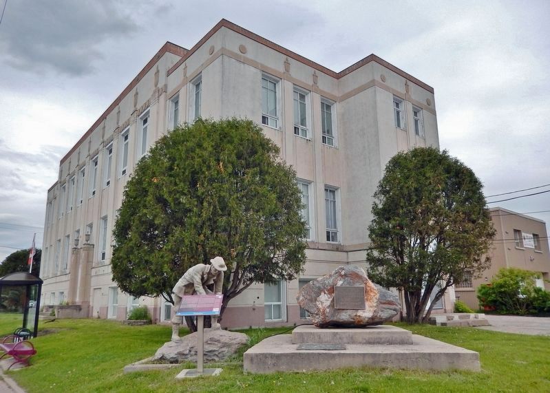
3. Tisdale Township Municipal Building
(southwest elevation)
(southwest elevation)
This marker is mounted on the boulder [on the right].
Photographed by Cosmos Mariner, June 3, 2022
4. Tisdale Township Municipal Building (west/front elevation)
Credits. This page was last revised on April 17, 2024. It was originally submitted on April 16, 2024, by Cosmos Mariner of Cape Canaveral, Florida. This page has been viewed 668 times since then and 77 times this year. Photos: 1. submitted on April 16, 2024, by Cosmos Mariner of Cape Canaveral, Florida. 2, 3, 4. submitted on April 17, 2024, by Cosmos Mariner of Cape Canaveral, Florida.
