Matheson in Cochrane District, Ontario — Central Canada (North America)
The Chute
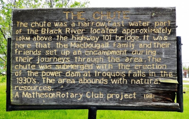
The chute was a narrow, fast water part of the Black River located approximately 1.0 km above the highway 101 bridge. It was here that the MacDougall family and their friends set up an encampment during their journeys through the area. The chute was submerged with the erection of the power dam at Iroquois Falls in the 1930’s. The area abounds with natural resources.
Erected 1981 by Matheson Rotary Club Project.
Topics. This historical marker is listed in these topic lists: Industry & Commerce • Settlements & Settlers • Waterways & Vessels.
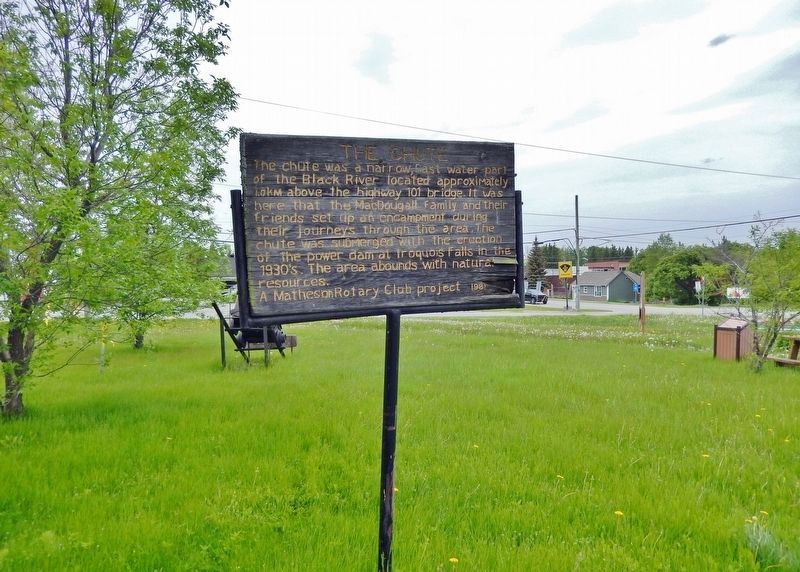
Location. 48° 32.064′ N, 80° 27.879′ W. Marker is in Matheson, Ontario, in Cochrane District. Marker can be reached from Railway Street just west of 4th Avenue (Provincial Highway 101), on the left when traveling west. The marker is located in Matheson Rotary Park. Touch for map. Marker is at or near this postal address: 385 Railway Street, Matheson ON P0K 1N0, Canada. Touch for directions.
Other nearby markers. At least 3 other markers are within walking distance of this marker. Croesus Mine Ore Skip (here, next to this marker); MacDougall's Chute (here, next to this marker); Great Fire of 1916 (approx. 0.4 kilometers away).
Related markers. Click here for a list of markers that are related to this marker.
Also see . . . Black River-Matheson (Wikipedia). Excerpt:
Black River-Matheson is a township in the Cochrane District of the Canadian province of Ontario. The municipality is astride the Black River, for which it is partly named. Matheson was first known as McDougall's Chute after an early trapper. Renamed for Arthur J. Matheson (1842-1913), provincial Treasurer and M.P.P. for South Lanark. Mining, forestry and farming are some of the principal industries in the area, augmented by outdoor tourism in the summer, such as fishing and hunting.(Submitted on April 17, 2024, by Cosmos Mariner of Cape Canaveral, Florida.)
Credits. This page was last revised on April 17, 2024. It was originally submitted on April 16, 2024, by Cosmos Mariner of Cape Canaveral, Florida. This page has been viewed 41 times since then. Photos: 1, 2. submitted on April 17, 2024, by Cosmos Mariner of Cape Canaveral, Florida.

