
Midway near Rehoboth Beach in Sussex County, Delaware — The American Northeast (Mid-Atlantic)
The Settlement of Wolfe Neck
A Nice Place to Visit or Live for Thousands of Years
Photographed by Pete Skillman, April 17, 2024
1. The Settlement of Wolfe Neck Marker
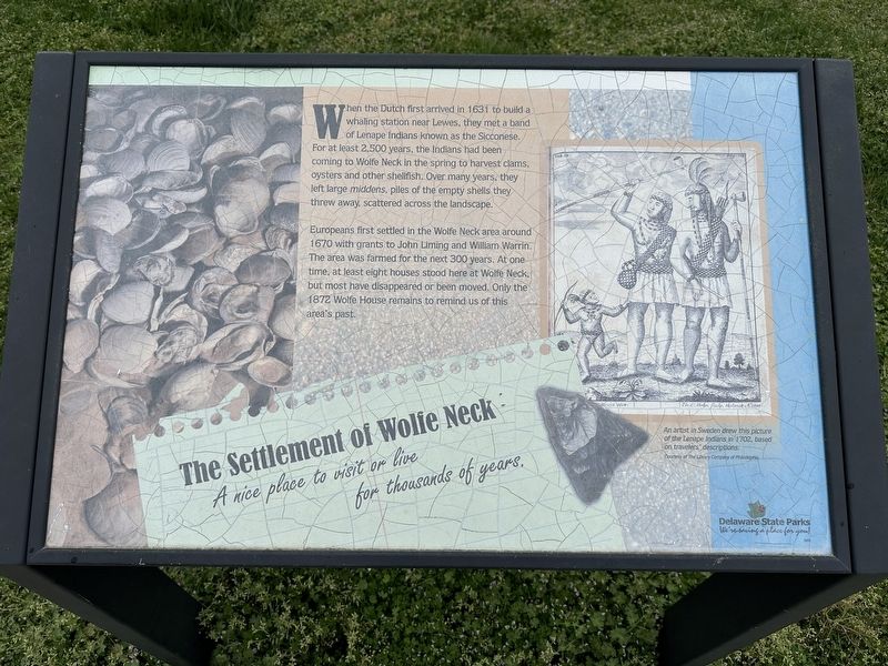
When the Dutch first arrived in 1631 to build a whaling station near Lewes, they met a band of Lenape Indians known as the Sicconese. For at least 2,500 years, the Indians had been coming to Wolfe Neck in the spring to harvest clams, oysters and other shellfish. Over many years, they left large middens, piles of the empty shells they threw away, scattered across the landscape.
Europeans first settled in the Wolfe Neck area around 1670 with grants to John Liming and William Warrin. The area was farmed for the next 300 years. At one time, at least eight houses stood here at Wolfe Neck, but most have disappeared or been moved. Only the 1872 Wolfe House remains to remind us of this area's past.
[Caption:]
An artist in Sweden drew this picture of the Lenape Indians in 1702, based on travelers' descriptions. Courtesy of The Library Company of Philadelphia
Erected by Delaware State Parks.
Topics and series. This historical marker is listed in these topic lists: Indigenous Peoples and Communities • Settlements & Settlers. In addition, it is included in the Delaware State Parks series list. A significant historical year for this entry is 1631.
Location. 38° 44.442′ N,
this page online

Regionally, this marker is on Delaware’s Beaches. It is also in the American Mid-Atlantic, on the Delmarva Peninsula, and on the Eastern Seaboard. Globally, it is in the North Atlantic Region, North America, the Western Hemisphere, the Western World, and the Anglosphere. Historically, it finds itself in what was once New Netherland, one of the original Thirteen Colonies, and the Antebellum South.
Other nearby markers. At least 8 other markers are within 2 miles of this marker, measured as the crow flies: The Junction and Breakwater Trail (approx. 0.2 miles away); Tiki Nook (approx. 1.3 miles away); Triton Trumpet (approx. 1.3 miles away); Wampum (approx. 1.3 miles away); Lost Ruins (approx. 1.3 miles away); King Helmet (approx. 1.3 miles away); Sand Dollar
Photographed by Pete Skillman, April 17, 2024
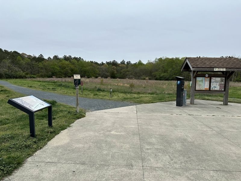
2. The Settlement of Wolfe Neck Marker wide view
Credits. This page was last revised on August 7, 2024. It was originally submitted on April 17, 2024, by Pete Skillman of Wilmington, Delaware. This page has been viewed 235 times since then and 19 times this year. Photos: 1, 2. submitted on April 17, 2024, by Pete Skillman of Wilmington, Delaware. • Devry Becker Jones was the editor who published this page.
