
Lewes & Rehoboth Hundred near Rehoboth Beach in Sussex County, Delaware — The American Northeast (Mid-Atlantic)
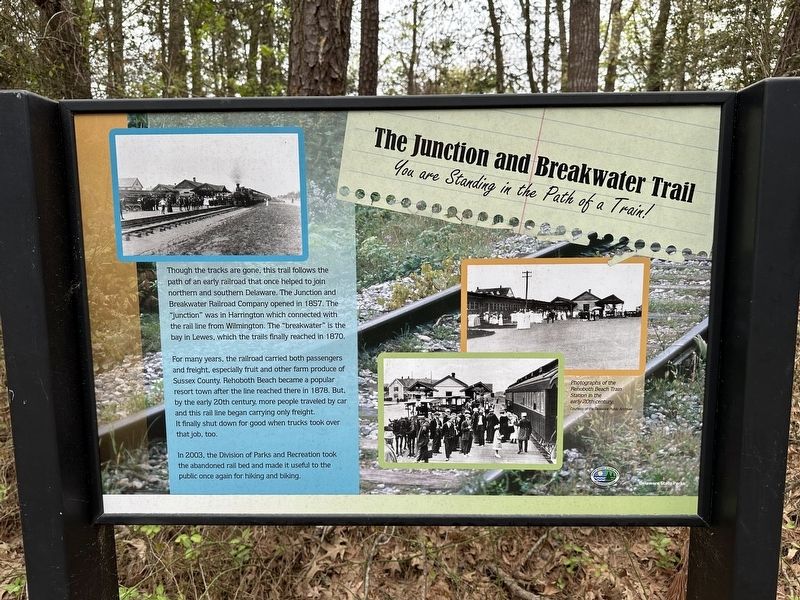
The Junction and Breakwater Trail
You are Standing in the Path of a Train!
Photographed by Pete Skillman, April 17, 2024
1. The Junction and Breakwater Trail Marker
For many years, the railroad carried both passengers. and freight, especially fruit and other farm produce of Sussex County. Rehoboth Beach became a popular resort town after the line reached there in 1878. But by the early 20th century, more people traveled by car and this rail line began carrying only freight. It finally shut down for good when trucks took over that job, too.
In 2003, the Division of Parks and Recreation took the abandoned rail bed and made it useful to the public once again for hiking and biking.
[Caption:]
Photographs of the Rehoboth Beach Train Station in the early 20th century. Courtesy of the Delaware Public Archives
Erected by Delaware State Parks.
Topics. This historical marker is listed in these topic lists: Parks & Recreational Areas
this page online
Location. 38° 44.47′ N, 75° 7.055′ W. Marker is near Rehoboth Beach, Delaware, in Sussex County. It is in Lewes & Rehoboth Hundred. It can be reached from Wolfe Neck Road. Touch for map. Marker is at or near this postal address: 36160 Wolfe Neck Rd, Lewes DE 19958, United States of America. Touch for directions.

Regionally, this marker is on Delaware’s Beaches. It is also in the American Mid-Atlantic, on the Delmarva Peninsula, and on the Eastern Seaboard. Globally, it is in the North Atlantic Region, North America, the Western Hemisphere, the Western World, and the Anglosphere. Historically, it finds itself in what was once New Netherland, one of the original Thirteen Colonies, and the Antebellum South.
Other nearby markers. At least 8 other markers are within 2 miles of this marker, measured as the crow flies: The Settlement of Wolfe Neck (approx. 0.2 miles away); Triton Trumpet (approx. 1.3 miles away); Tiki Nook (approx. 1.3 miles away); Wampum (approx. 1.3 miles away); Lost Ruins (approx. 1.3 miles away); Sand Dollar (approx. 1.3 miles away);
Photographed by Pete Skillman, April 17, 2024
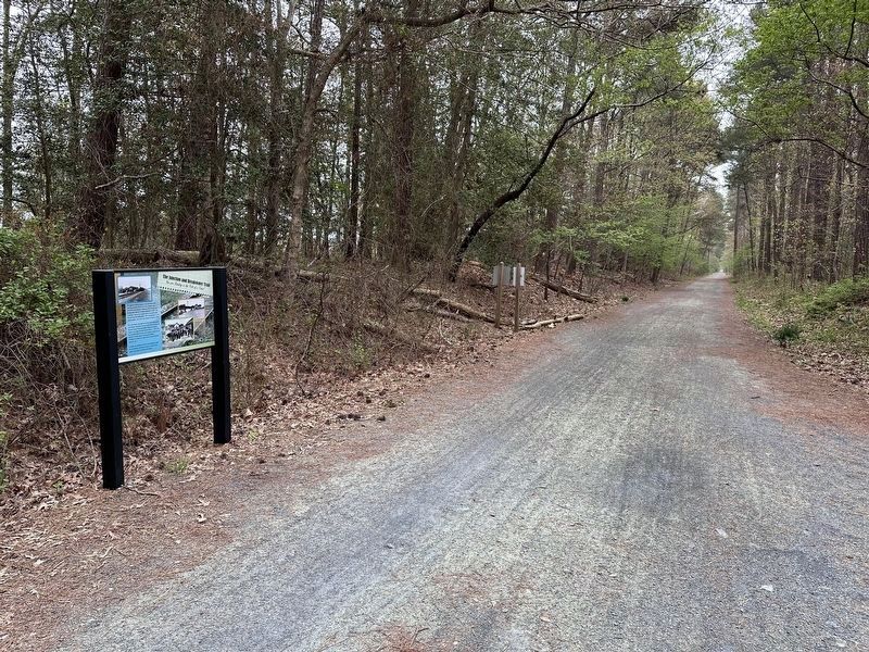
2. The Junction and Breakwater Trail Marker wide view
Credits. This page was last revised on June 5, 2026. It was originally submitted on April 17, 2024, by Pete Skillman of Wilmington, Delaware. This page has been viewed 322 times since then and 41 times this year. Photos: 1, 2. submitted on April 17, 2024, by Pete Skillman of Wilmington, Delaware. • Bill Pfingsten was the editor who published this page.
