Near Grantsville in Garrett County, Maryland — The American Northeast (Mid-Atlantic)
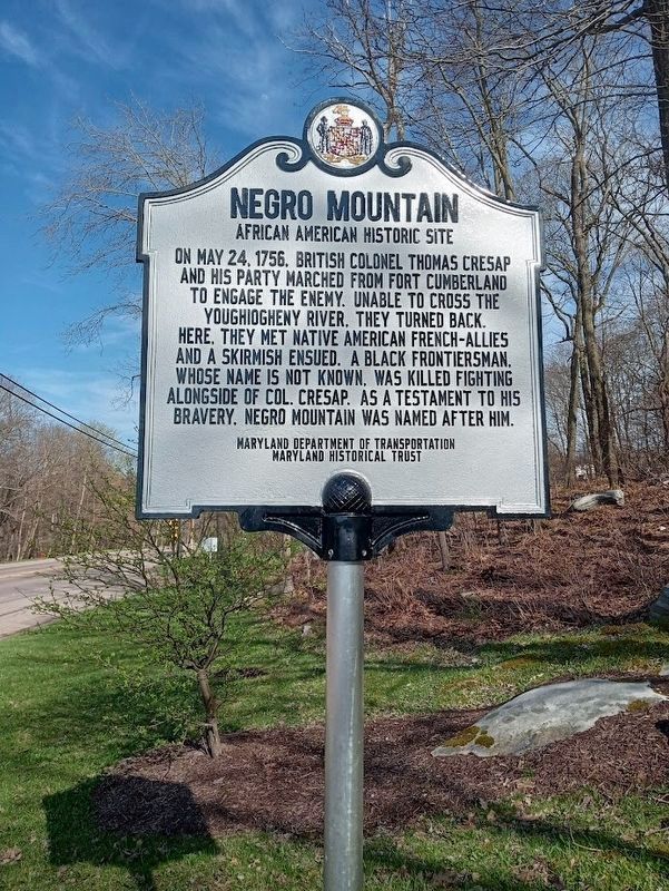
Negro Mountain
African American Historic Site
Erected by Maryland Department of Transportation and Maryland Historical Trust.
Topics. This historical marker is listed in these topic lists: African Americans • Native Americans. A significant historical date for this entry is May 24, 1756.
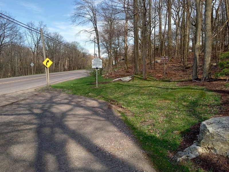
Location. 39° 42.378′ N, 79° 12.671′ W. Marker is near Grantsville, Maryland, in Garrett County. Marker is at the intersection of National Pike (Alternate U.S. 40) and Zehner Road, on the right when traveling east on National Pike. Marker is at a roadside park. Touch for map. Marker is at or near this postal address: 5386 National Pike, Grantsville MD 21536, United States of America. Touch for directions.
Other nearby markers. At least 8 other markers are within 4 miles of this marker, measured as the crow flies. A different marker also named Negro Mountain (a few steps from this marker); Keyser's Ridge (approx. 2.1 miles away); General Braddock’s 5th Camp (approx. 2.1 miles away); The Fuller-Baker House (approx. 2.2 miles away); The National Road (approx. 3 miles away); Leo J. Beachy (approx. 3 miles away); Casselman Hotel (approx. 3.2 miles away); Traveling the National Road (approx. 3.2 miles away). Touch for a list and map of all markers in Grantsville.
Credits. This page was last revised on April 17, 2024. It was originally submitted on April 17, 2024, by Jason Voigt of Glen Carbon, Illinois. This page has been viewed 57 times since then. Photos: 1, 2. submitted on April 17, 2024, by Jason Voigt of Glen Carbon, Illinois.

