Kenora in Kenora District, Ontario — Central Canada (North America)
Early Exploration
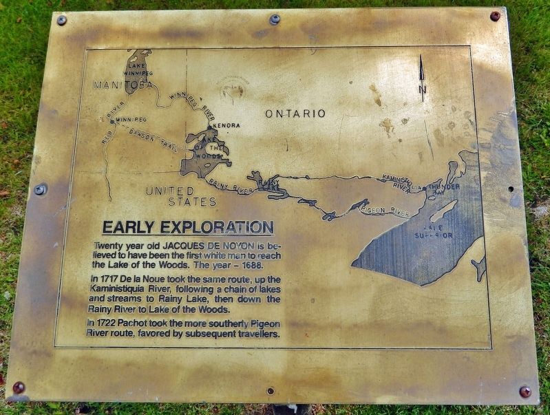
Twenty year old Jacques de Noyon is believed to have been the first white man to reach the Lake of the Woods. The year — 1688.
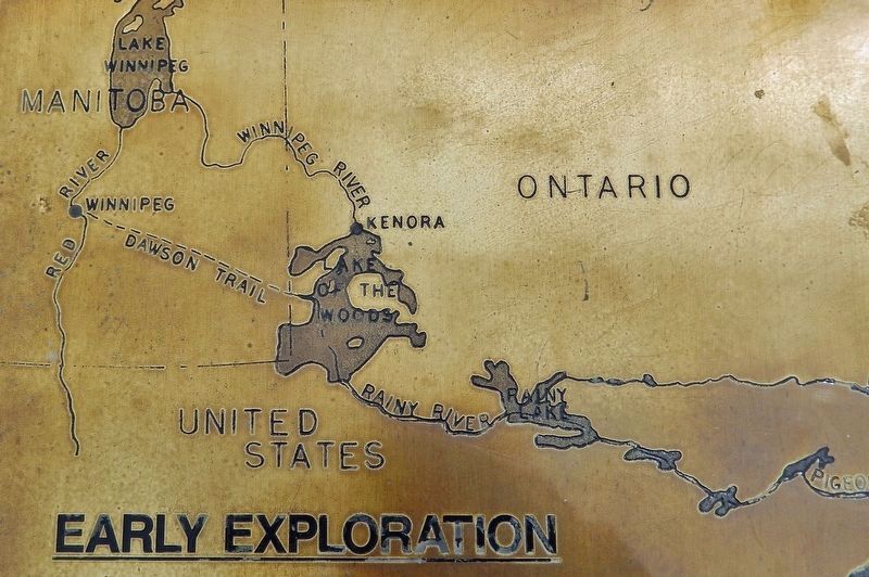
In 1717 De la Noue took the same route, up the Kaministiquia River, following a chain of lakes and streams to Rainy Lake, then down the Rainy River to Lake of the Woods.
In 1722 Pachot took the more southerly Pigeon River route, favored by subsequent travelers.
Topics. This historical marker is listed in these topic lists: Exploration • Waterways & Vessels. A significant historical year for this entry is 1688.
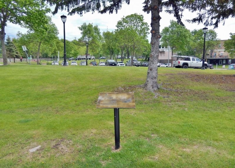
Location. 49° 46.138′ N, 94° 29.459′ W. Marker is in Kenora, Ontario, in Kenora District. Marker can be reached from Bernier Drive just south of Main Street South (Trans-Canada Highway) (Provincial Highway 17), on the right when traveling south. The marker is located along the Kenora Bay waterfront walkway, on the north side of the pavilion. Touch for map. Marker is in this post office area: Kenora ON P9N 1S4, Canada. Touch for directions.
Other nearby markers. At least 8 other markers are within walking distance of this marker. The Hudson's Bay Company Fort at Rat Portage on Old Fort Island, 1857 (here, next to this marker); Governor General's Arrival (here, next to this marker); Town of Kenora Waterfront History (a few steps from this marker); The Boundary Dispute (a few steps from this marker); A 1920 View of Today's McLeod Park (a few steps from this marker); Transportation (a few steps from this marker); Rat Portage Rowing Club (about 90 meters away, measured in a direct line); Flame on the Water — 1995 (about 90 meters away). Touch for a list and map of all markers in Kenora.
Also see . . .
1. Jacques de Noyon (Wikipedia). Excerpt:
Jacques de Noyon (1668–1745) was a French-Canadian explorer. He is the first known European to visit the Boundary Waters region west of Lake Superior. In 1688, de Noyon and three others traveled from the Montreal area to Fort Caministigoyan on Lake Superior, located at present-day Thunder Bay, Ontario. From there they traveled inland up the Kaministiquia River. His group followed the Indigenous canoe route over the Laurentian Divide, past the present-day site of Atikokan, Ontario, through what is now Quetico Provincial Park and Voyageurs National Park, Minnesota. He built a fort, established ties to the local Assiniboine people, and spent the winter on the shore of Rainy Lake. There is some question as to whether de Noyon in fact made it as far as Lake of the Woods or not.(Submitted on April 20, 2024, by Cosmos Mariner of Cape Canaveral, Florida.)
2. Zacharie Robutel de La Noue (Dictionary of Canadian Biography). Excerpt:
From 1717 on, Robutel de La Noue was in the governor’s service, with the task of trying to discover the northern sea by an inland route through New France. He set out in July 1717, with three canoes and the order “to establish the first post on the Kanastigoya River in the northern part of Lake Superior, after which he is to go in the direction of Lac des Christinaux to set up a second, and through the Indians to obtain the necessary information for setting up the third at Lac des Assenipoëlle.” He remained at Kaministiquia until 1721.(Submitted on April 20, 2024, by Cosmos Mariner of Cape Canaveral, Florida.)
Credits. This page was last revised on April 20, 2024. It was originally submitted on April 19, 2024, by Cosmos Mariner of Cape Canaveral, Florida. This page has been viewed 39 times since then. Photos: 1, 2, 3. submitted on April 20, 2024, by Cosmos Mariner of Cape Canaveral, Florida.


