Kenora in Kenora District, Ontario — Central Canada (North America)
Town of Kenora Waterfront History
Early Growth of the Town
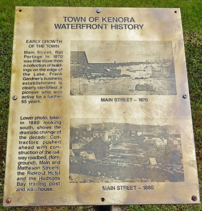
Main Street, Rat Portage in 1870 was little more than a collection of buildings on the edge of the Lake. Frank Gardner's business establishment is clearly identified; a pioneer who was active for a further 65 years.
Lower photo, taken in 1880 looking south, shows the dramatic change of the decade. Contractors pushed ahead with construction of the railway roadbed, (foreground), Main and Matheson Streets; the Rideout Hotel and the Hudson’s Bay trading post and warehouse.
[photo captions]
• Main Street — 1870
• Main Street — 1880
Topics. This historical marker is listed in these topic lists: Industry & Commerce • Roads & Vehicles • Settlements & Settlers. A significant historical year for this entry is 1870.
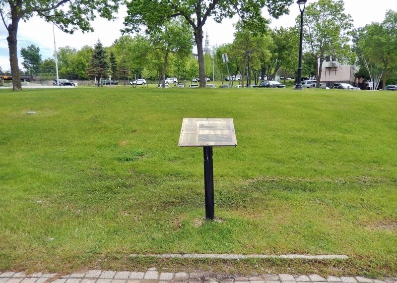
Location. 49° 46.143′ N, 94° 29.46′ W. Marker is in Kenora, Ontario, in Kenora District. Marker can be reached from Bernier Drive just south of Main Street South (Trans-Canada Highway) (Provincial Highway 17), on the right when traveling south. The marker is located along the Kenora Bay waterfront walkway, on the north side of the pavilion. Touch for map. Marker is in this post office area: Kenora ON P9N 1S4, Canada. Touch for directions.
Other nearby markers. At least 8 other markers are within walking distance of this marker. A 1920 View of Today's McLeod Park (here, next to this marker); Governor General's Arrival (here, next to this marker); The Hudson's Bay Company Fort at Rat Portage on Old Fort Island, 1857 (here, next to this marker); Early Exploration (a few steps from this marker); The Boundary Dispute (a few steps from this marker); Transportation (a few steps from this marker); Rat Portage Rowing Club (about 90 meters away, measured in a direct line); Flame on the Water — 1995 (about 90 meters away). Touch for a list and map of all markers in Kenora.
Also see . . . Kenora (Wikipedia). Excerpt:
Among the earliest Europeans in the Lake of the Woods area was explorer and fur trader Pierre Gaultier de Varennes et de La Vérendrye, who established a secure French trading post, Fort Saint Charles, to the south of present-day Kenora near the current Canada/U.S. border in 1732. France maintained the post until 1763 when it lost the territory to the British in the Seven Years' War. In 1836 the Hudson's Bay Company established a post on Old Fort Island, and in 1861, the Company opened a post on the mainland at Kenora's current location. In 1878, the company surveyed lots for the permanent settlement of Rat Portage ("portage to the country of the muskrat") — the community kept that name until 1905, when it was renamed Kenora.(Submitted on April 20, 2024, by Cosmos Mariner of Cape Canaveral, Florida.)
Credits. This page was last revised on April 20, 2024. It was originally submitted on April 20, 2024, by Cosmos Mariner of Cape Canaveral, Florida. This page has been viewed 38 times since then. Photos: 1, 2. submitted on April 20, 2024, by Cosmos Mariner of Cape Canaveral, Florida.

