Smithville in Chenango County, New York — The American Northeast (Mid-Atlantic)
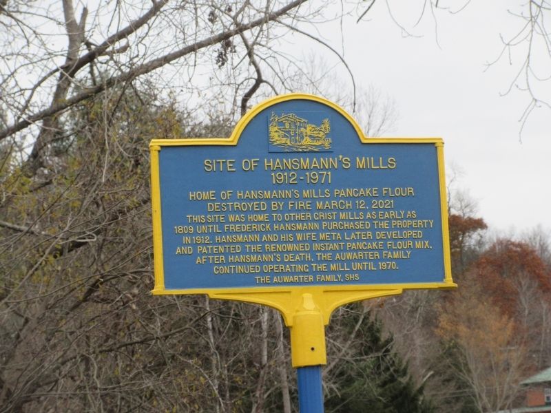
Site of Hansmann's Mills
1912-1971
Photographed by Mira Earls, November 12, 2023
1. Site of Hansmann's Mills Marker
Destroyed by fire March 12, 2021
Erected 2023 by The Auwarter Family, SHS.
Topics. This historical marker is listed in this topic list: Industry & Commerce. A significant historical year for this entry is 1912.
Location. 42° 23.655′ N, 75° 48.243′ W. Marker is in Smithville, New York, in Chenango County. It is at the intersection of New York State Route 41 and Water Street, on the left when traveling south on New York State Route 41. Touch for map. Marker is in this post office area: Smithville Flats NY 13841, United States of America. Touch for directions.

Regionally, this marker is in Upstate New York and in the Southern Tier. It is also in the American Northeast, in the Mid-Atlantic, in Appalachia, and specifically in Northern Appalachia. Globally,
this page online
Other nearby markers. At least 8 other markers are within 5 miles of this marker, measured as the crow flies: War Memorial (approx. 0.3 miles away); Smithville Community Center (approx. 0.4 miles away); Town of Smithville (approx. 0.4 miles away); Stone Ruin (approx. 2.7 miles away); Barnes Cemetery (approx. 3.8 miles away); Greene (approx. 4.4 miles away); Stephen Ketchum (approx. 4.6 miles away); Wilcox Homestead (approx. 4.6 miles away).
Another marker is no longer nearby. 1875-1963 Tarbell Farms (was approx. 2.1 miles away but has been confirmed missing).
Also see . . . Hansmann's Mills Historic Marker Dedicated. (Submitted on April 23, 2024, by Mira Earls of Cortland, New York.)

Photographed by Mira Earls, November 12, 2023
2. Site of Hansmann's Mills Marker
Photographed by Mira Earls, November 12, 2023
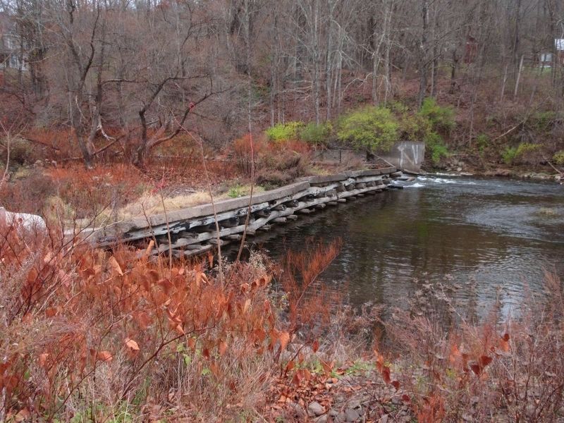
3. The Dam at Hansmann's Mills
Credits. This page was last revised on April 29, 2024. It was originally submitted on April 23, 2024, by Mira Earls of Cortland, New York. This page has been viewed 820 times since then and 161 times this year. Photos: 1, 2, 3. submitted on April 23, 2024, by Mira Earls of Cortland, New York. • Michael Herrick was the editor who published this page.
