Cobalt in Timiskaming District, Ontario — Central Canada (North America)
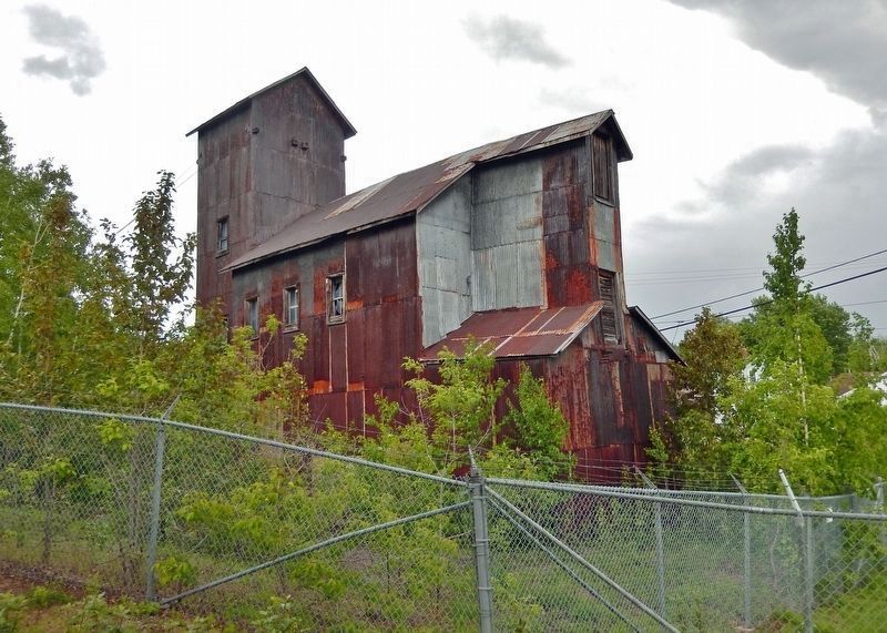
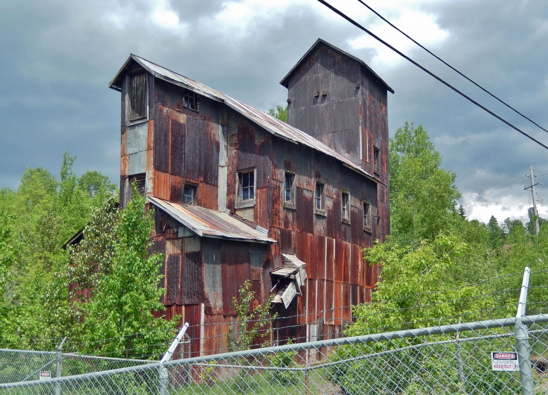
Townsite #1 Shaft / Le puits n°1 de la mine Townsite
— Heritage Silver Trail —
Inscription.
belching forth voluminous black clouds meet
the eye, and the throbbing of engines, the
heartbeats of Cobalt industry, come to the ear."
—Silver City News
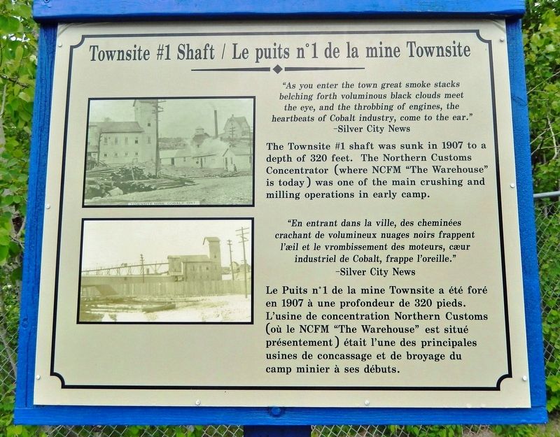
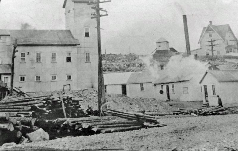
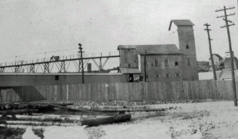
The Townsite #1 shaft was sunk in 1907 to a depth of 320 feet. The Northern Customs Concentrator (where NCFM "The Warehouse" is today) was one of the main crushing and milling operations in early camp.
crachant de volumineux nuages noirs frappent
l'œil et le vrombissement des moteurs, cœur
industriel de Cobalt, frappe l'oreille."
—Silver City News
Le Puits n°1 de la mine Townsite a été foré en 1907 à une profondeur de 320 pieds. L'usine de concentration Northern Customs (où le NCFM "The Warehouse" est situé présentement) était l'une des principales usines de concassage et de broyage du camp minier à ses débuts.
Erected by Cobalt Historical Society.
Topics. This historical marker is listed in this topic list: Industry & Commerce . A significant historical year for this entry is 1907.
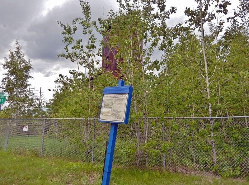
Location. 47° 23.557′ N, 79° 41.408′ W. Marker is in Cobalt, Ontario, in Timiskaming District. Marker is at the intersection of Miller Avenue (Provincial Highway 11B) and Galena Street, on the right when traveling west on Miller Avenue. The marker is located beside the highway, overlooking the Townsite Mine ruins to the west. Touch for map. Marker is in this post office area: Cobalt ON P0J 1C0, Canada. Touch for directions.
Other nearby markers. At least 8 other markers are within walking distance of this marker. The Glory Hole / Le Glory Hole (within shouting distance of this marker); The Nancy Helen Mine / La mine Nancy Helen (about 150 meters away, measured in a direct line); Cobalt Street & Grandview Hill / La rue Cobalt et la côte Grandview (approx. 0.3 kilometers away); The Cobalt Town Hall / L'hôtel-de-ville de Cobalt (approx. 0.4 kilometers away); Cobalt Mining Camp (approx. half a kilometer away); Silver Mining in Canada / Production de L'argent au Canada (approx. half a kilometer away); Willet Green Miller (approx. half a kilometer away); City of Cobalt Shaft / Le puits de mine de la Ville de Cobalt (approx. half a kilometer away). Touch for a list and map of all markers in Cobalt.
Related markers. Click here for a list of markers that are related to this marker. Heritage Silver Trail
Also see . . . Site #1 – Townsite Headframe. Excerpt:
(includes contemporary and historical photos) This property was originally owned by the Temiskaming & Northern Ontario Railway. In 1906 it was leased to the Cobalt Townsite Mining Company. Their Chief Engineer, W.S. Mitchell, designed this building as a ‘rockhouse’, a shaft house which included crushing and sorting facilities.(Submitted on April 24, 2024, by Cosmos Mariner of Cape Canaveral, Florida.)This type of structure was common to the tin mining area of Cornwall, England and the copper mines of Northern Michigan. Several structures of this type were once landmarks in the Cobalt area.
In 1914 this property was acquired by the Mining Corporation of Canada Limited. By 1922 it had produced 13,000,000 ounces of silver.
Credits. This page was last revised on April 30, 2024. It was originally submitted on April 24, 2024, by Cosmos Mariner of Cape Canaveral, Florida. This page has been viewed 46 times since then. Photos: 1, 2, 3, 4, 5, 6. submitted on April 24, 2024, by Cosmos Mariner of Cape Canaveral, Florida.
