Near Holbrook in Multnomah County, Oregon — The American West (Northwest)
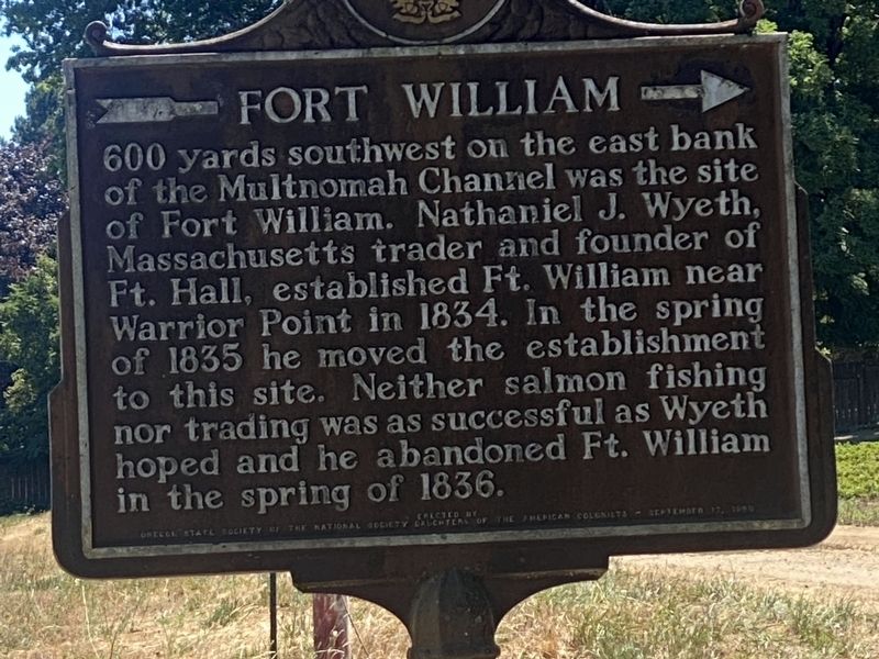
Fort William
Erected 1969 by Oregon State Society, National Society of the Daughters of the American Colonists.
Topics and series. This historical marker is listed in these topic lists: Forts and Castles • Industry & Commerce • Settlements & Settlers • Waterways & Vessels. In addition, it is included in the Daughters of the American Colonists series list. A significant historical year for this entry is 1834.
Location. 45° 40.059′ N, 122° 52.055′ W. Marker is near Holbrook, Oregon, in Multnomah County. Marker is on Northwest Saint Helens Road (Route 30) 0.1 miles south of Northwest King Road, on the right when traveling north. Touch for map. Marker is in this post office area: Portland OR 97231, United States of America. Touch for directions.
Other nearby markers. At least 8 other markers are within 10 miles of this marker, measured as the crow flies. A different marker also named Fort William (here, next to this marker); History of Scappoose (approx. 5.6 miles away); Route of Lewis and Clark National Historic Trail (approx. 5.6 miles away); Lewis and Clark on the Columbia (approx. 5.6 miles away); Thomas McKay (approx. 5.6 miles away); Joseph L. Meek (approx. 8 miles away); Covington House (approx. 9.8 miles away in Washington); Esther Short (approx. 9.8 miles away in Washington).
Credits. This page was last revised on April 25, 2024. It was originally submitted on April 25, 2024. This page has been viewed 48 times since then. Photo 1. submitted on April 22, 2024. • Devry Becker Jones was the editor who published this page.
Editor’s want-list for this marker. Wide shot of marker in context with surroundings and full photo of marker. • Can you help?
